MyTopo
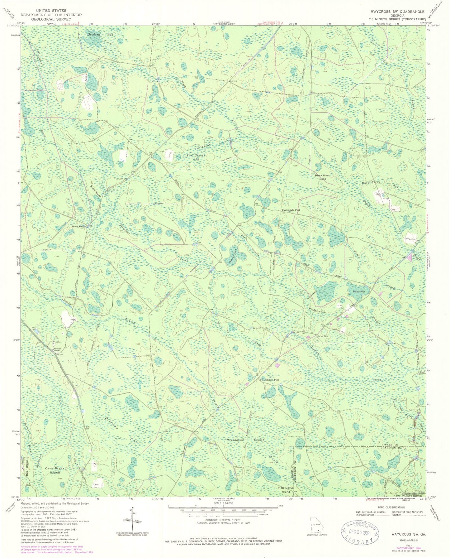
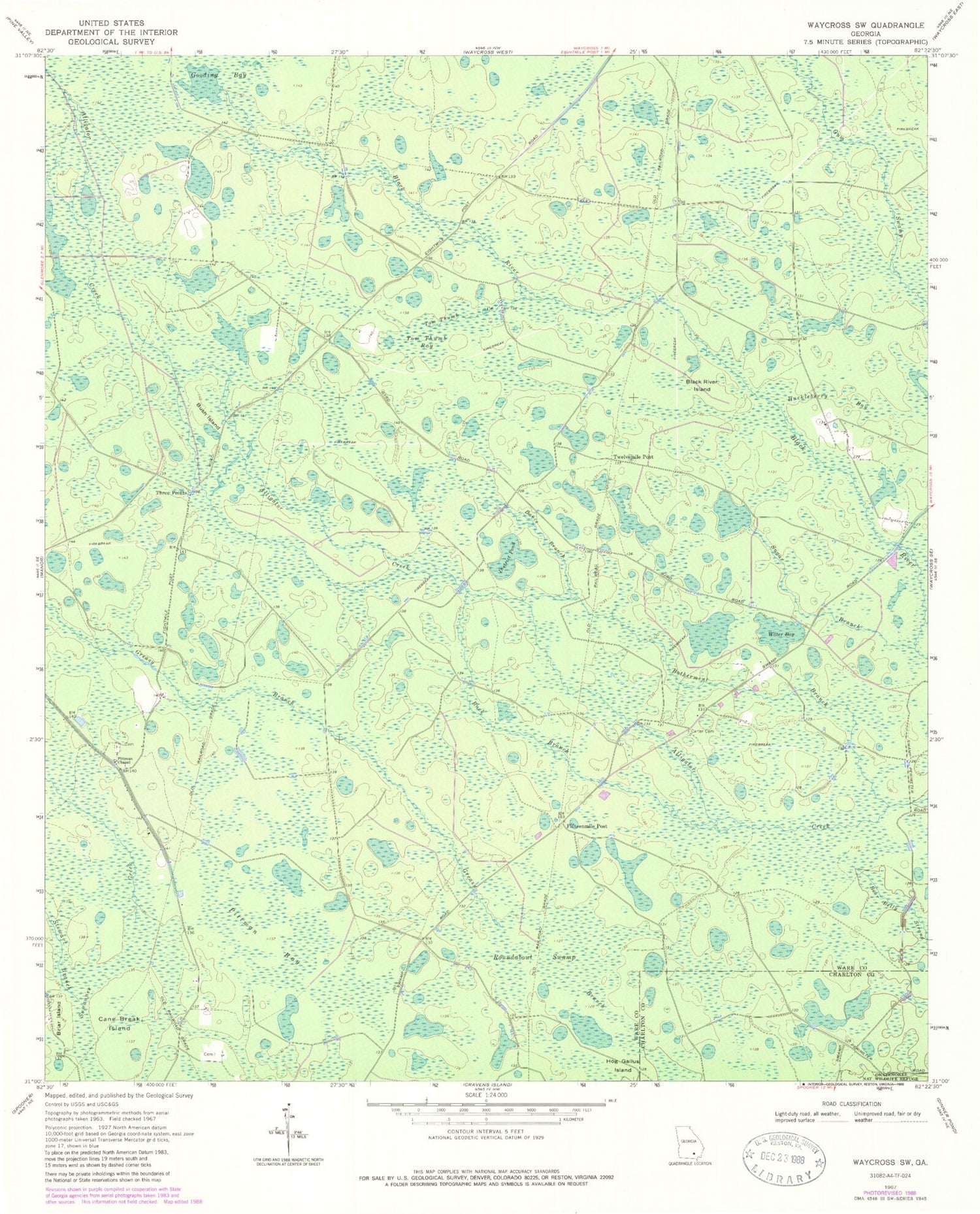
Classic USGS Waycross SW Georgia 7.5'x7.5' Topo Map
Couldn't load pickup availability
Historical USGS topographic quad map of Waycross SW in the state of Georgia. Map scale may vary for some years, but is generally around 1:24,000. Print size is approximately 24" x 27"
This quadrangle is in the following counties: Charlton, Ware.
The map contains contour lines, roads, rivers, towns, and lakes. Printed on high-quality waterproof paper with UV fade-resistant inks, and shipped rolled.
Contains the following named places: Black River Island, Botherment Branch, Briar Island, Buck Branch, Bush Island, Cane Break Island, Carter Cemetery, Davis Branch, District Pond, Fifteenmile Post, Gooding Bay, Hog Gallus Island, Huckleberry Bay, Pittman Bay, Pittman Chapel, Roundabout Swamp, Stewart Branch, Sugar Branch, Three Points, Tom Thumb Bay, Tom Thumb Creek, Twelvemile Post, Ware County, Water Bay


