MyTopo
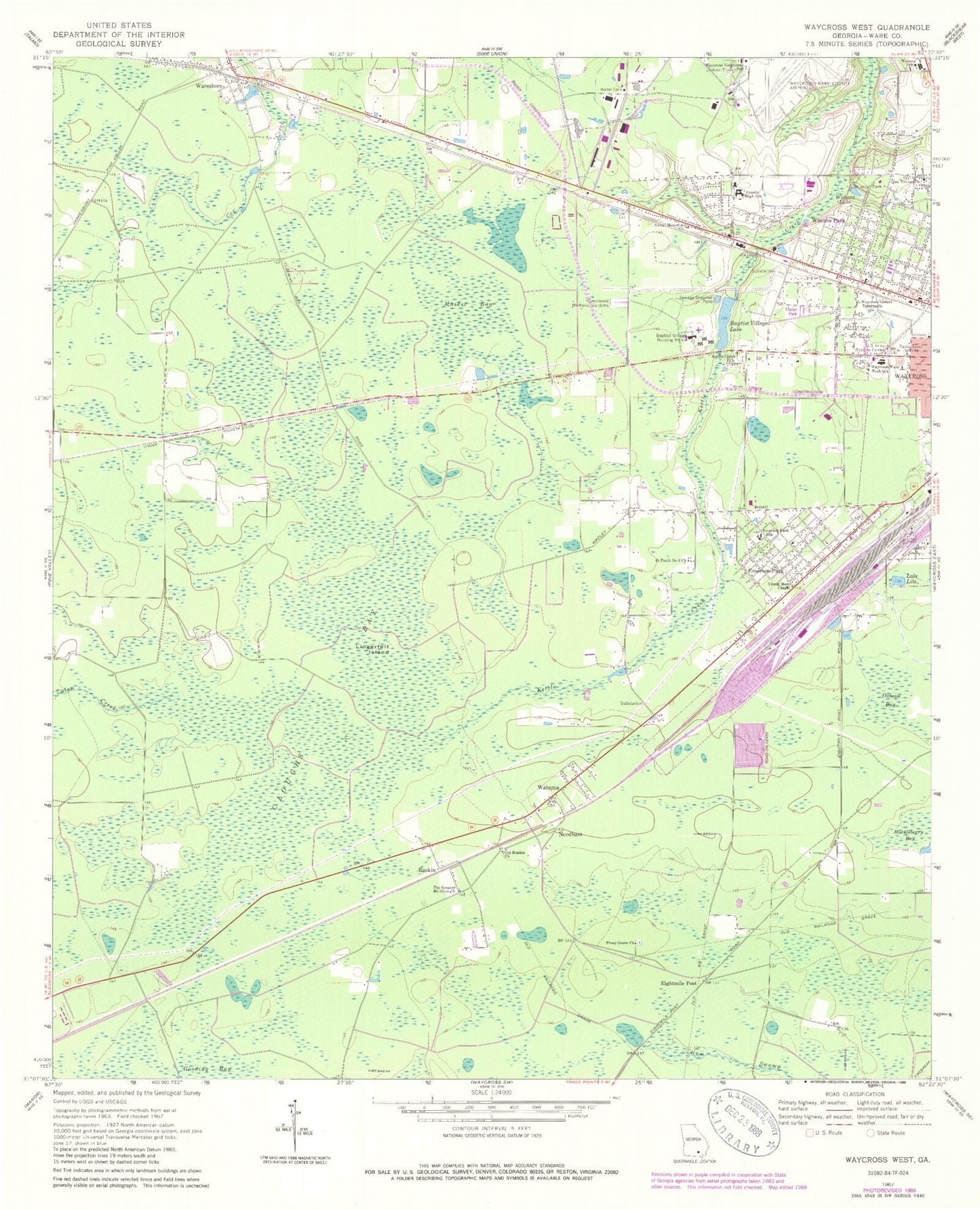
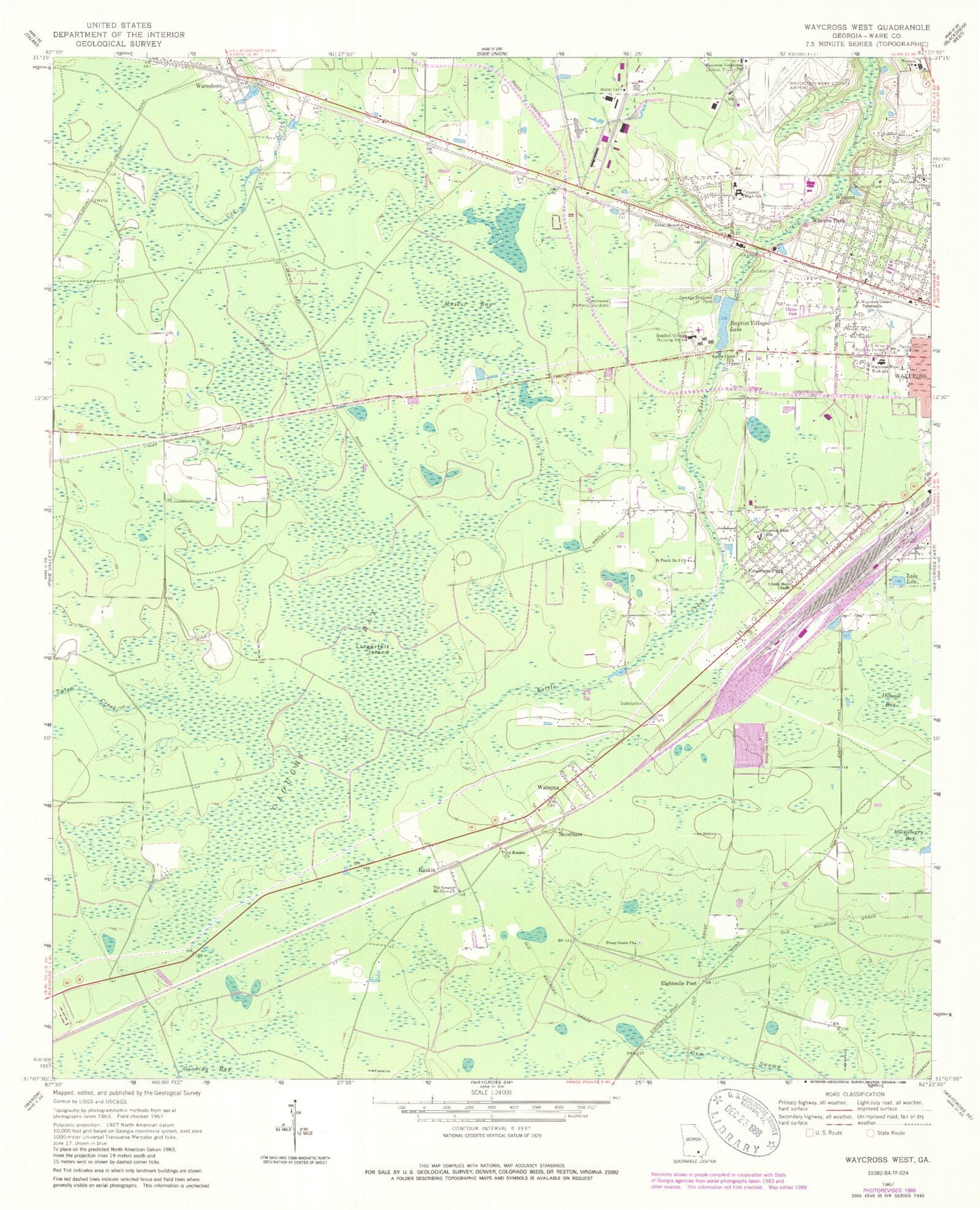
Classic USGS Waycross West Georgia 7.5'x7.5' Topo Map
Couldn't load pickup availability
Historical USGS topographic quad map of Waycross West in the state of Georgia. Map scale may vary for some years, but is generally around 1:24,000. Print size is approximately 24" x 27"
This quadrangle is in the following counties: Ware.
The map contains contour lines, roads, rivers, towns, and lakes. Printed on high-quality waterproof paper with UV fade-resistant inks, and shipped rolled.
Contains the following named places: Baptist Village Lake, Baptist Village Nursing Home, Barner Cemetery, Bible Baptist Church, Church of God of Prophecy, Church of God of Wahoma, Cloughs Bay, Crestwood Memorial Gardens, Deenwood, Deenwood Baptist Church, Duboise Bay, Eightmile Post, Emerson Park, Full Gospel Assembly Church, Garlington Heights Housing Project, Glad Tidings Church, Gospel Tabernacle Church, Heritage Center, J Olan Jones Health Care Center, Kettle Creek Cemetery, Kettle Creek Church, Lake Lila, Liberty Free Will Baptist Church, Lingerfelt Island, Musket Bay, Needham, Okefenokee Technical College, Old Ruskin Church, Pineview Baptist Church, Piney Grove Church, Ruskin, Saint Pauls Number 3 Church, Satilla Regional Rehabilitation Institute, Satilla Village Mobile Home Park, Sweat Memorial Church, The Greater Mount Olive Church, Tuten Creek, University Boulevard Church of God, Wacona School, Wahoma, Ware Baptist Church, Ware County Fire Rescue Station 4 Emerson Park, Ware County High School, Ware County Junior High School, Ware County Learning Center, Waresboro, Waresboro Census Designated Place, Waresboro First United Methodist Church, Waresboro Post Office, Waycross Army Air Field, Waycross Fire Department Station 1 Headquarters, Waycross Gospel Tabernacle, Waycross Vocational School, Waycross Ware Technical School, Waycross-Ware County Airport, Waycross-Ware County Junior College, WAYX-AM (Waycross), Westside Church, Winona Lake, Winona Park, Winona Park United Methodist Church, Young Memorial Chapel, ZIP Code: 31503


