MyTopo
Classic USGS Wayne Creek NW Montana 7.5'x7.5' Topo Map
Regular price
$16.95
Regular price
Sale price
$16.95
Unit price
per
Couldn't load pickup availability
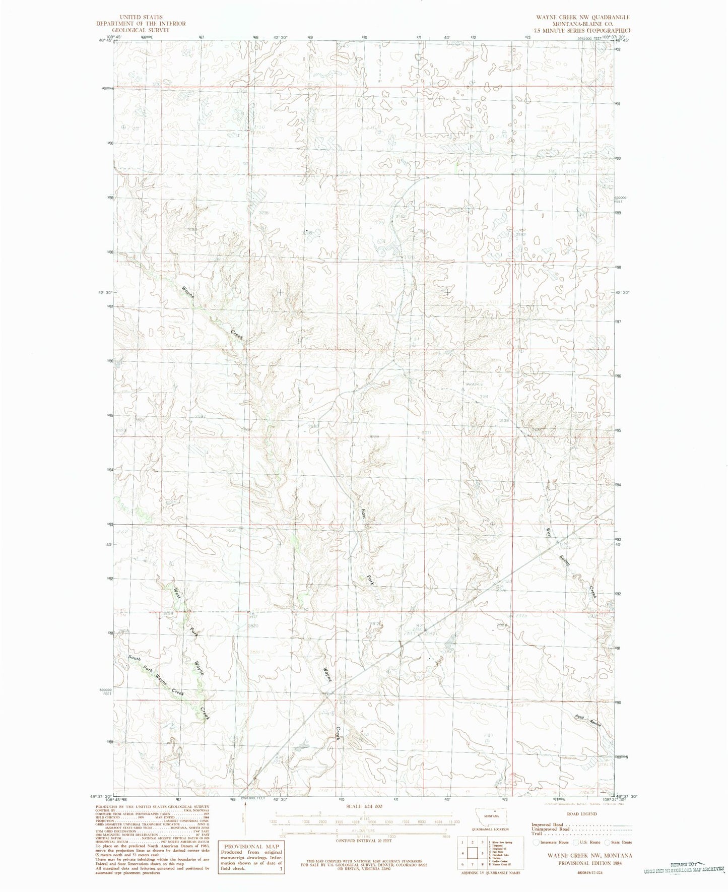
Historical USGS topographic quad map of Wayne Creek NW in the state of Montana. Map scale may vary for some years, but is generally around 1:24,000. Print size is approximately 24" x 27"
This quadrangle is in the following counties: Blaine.
The map contains contour lines, roads, rivers, towns, and lakes. Printed on high-quality waterproof paper with UV fade-resistant inks, and shipped rolled.
Contains the following named places: 34N24E06DCCC01 Well, Aveil Ravine, East Fork Wayne Creek, Meadow Dam, Old Woman Reservoir Dam, Reddenbacks Ranch, South Fork Wayne Creek, Violett School