MyTopo
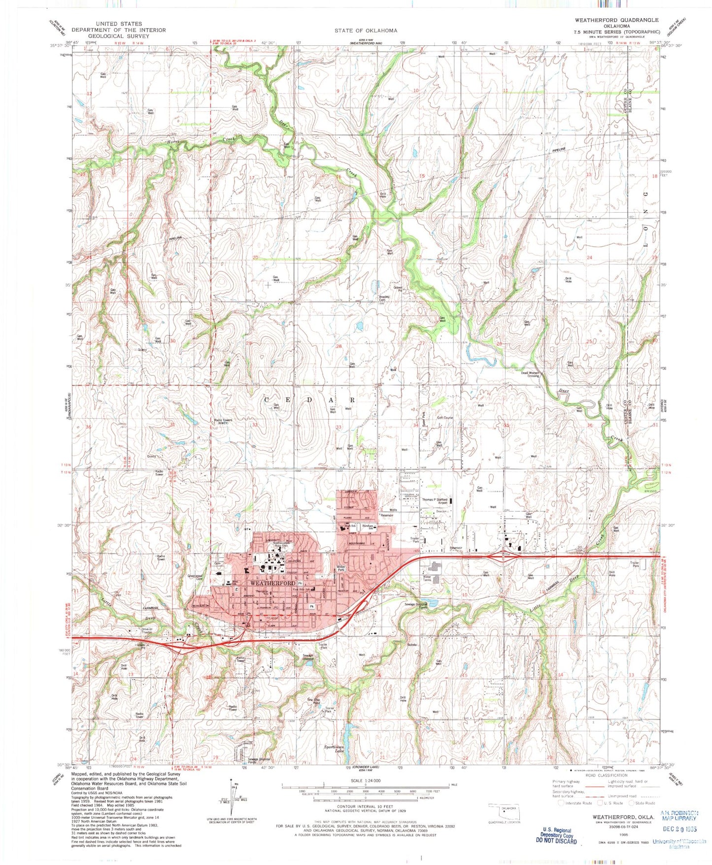
Classic USGS Weatherford Oklahoma 7.5'x7.5' Topo Map
Couldn't load pickup availability
Historical USGS topographic quad map of Weatherford in the state of Oklahoma. Map scale may vary for some years, but is generally around 1:24,000. Print size is approximately 24" x 27"
This quadrangle is in the following counties: Blaine, Custer.
The map contains contour lines, roads, rivers, towns, and lakes. Printed on high-quality waterproof paper with UV fade-resistant inks, and shipped rolled.
Contains the following named places: Bradley Cemetery, Buckmaster Dam, Burcham Elementary School, Catholic Parish Hall, Cedar Church, Church of Christ, Church of the Nazarene, City of Weatherford, Dead Women Crossing, Emmanuel Baptist Church, Federated Church, First Assembly of God Church, First Baptist Church, First United Methodist Church, Grace Lutheran Church, Greenwood Cemetery, Hunnicutt Dam, Hunnicutt Reservoir, Johnston Dam, Johnston Reservoir, KBXR-FM (Weatherford), KWEY-AM (Weatherford), Laughlin Dam, Laughlin Lake, Little Deep Creek, Northpark Shops, Pine Acres Mennonite Church, Rader Park, Restoration Church, Saint Eugene Catholic Church, Saint Marks Episcopal Church, Sinor Emergency Medical Services Weatherford, Southwestern Christian Church, Southwestern Oklahoma State University, Southwestern Oklahoma State University Department of Public Safety, Southwestern State College, Sportsman Lake, Thomas P Stafford Airport, Township of Cedar, Waters Home Airport, Weatherford, Weatherford Ambulance Service, Weatherford Division, Weatherford East Elementary School, Weatherford Fire Department, Weatherford High School, Weatherford Middle School, Weatherford Police Department, Weatherford Post Office, Weatherford Regional Hospital, Weatherford Shopping Center, Weatherford West Elementary School, Weber Park, Wesley Foundation Church, ZIP Code: 73096


