MyTopo
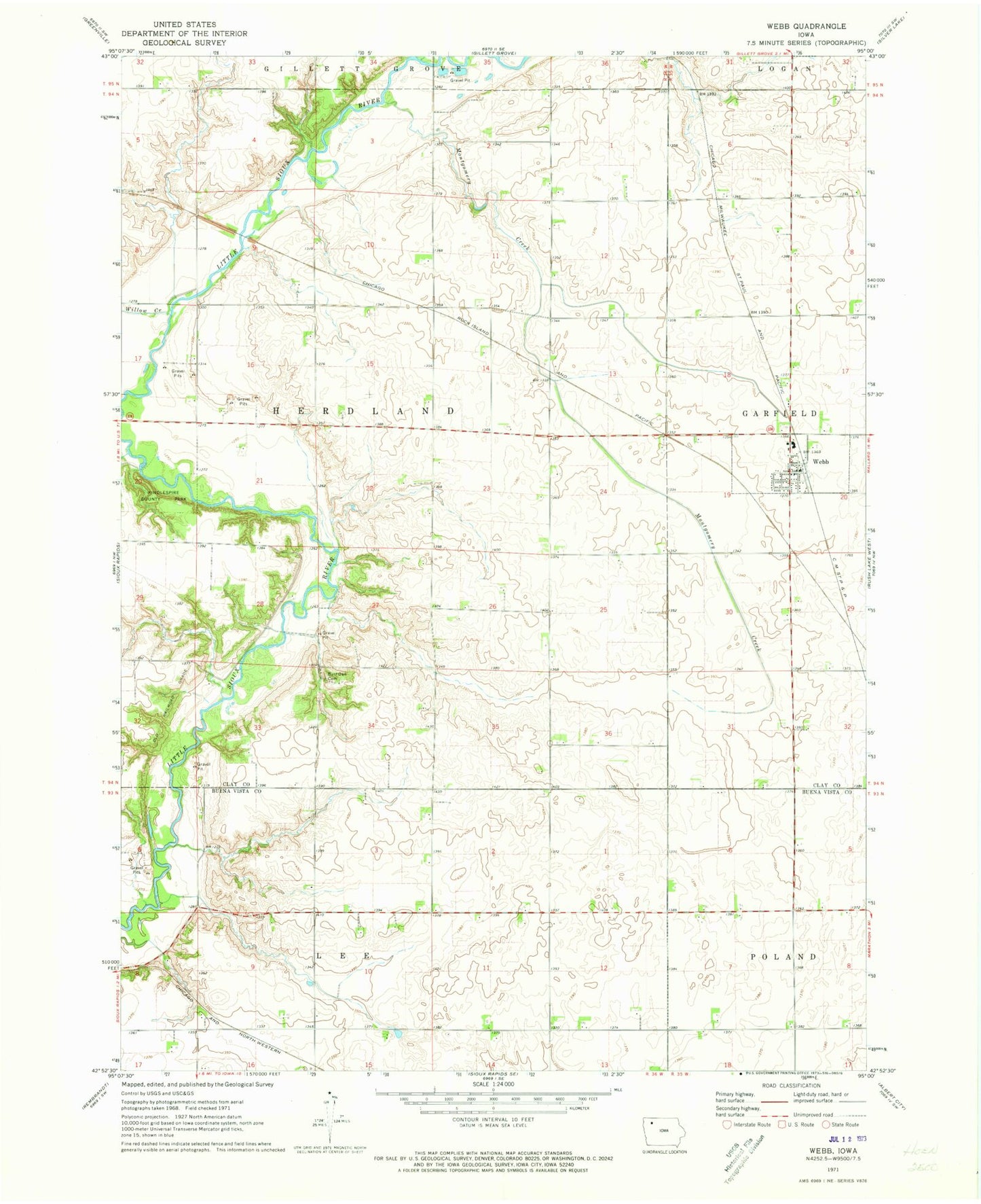
Classic USGS Webb Iowa 7.5'x7.5' Topo Map
Couldn't load pickup availability
Historical USGS topographic quad map of Webb in the state of Iowa. Map scale may vary for some years, but is generally around 1:24,000. Print size is approximately 24" x 27"
This quadrangle is in the following counties: Buena Vista, Clay.
The map contains contour lines, roads, rivers, towns, and lakes. Printed on high-quality waterproof paper with UV fade-resistant inks, and shipped rolled.
Contains the following named places: Boge Farms, Burr Area, Burr Oak Cemetery, City of Webb, Elser Farms, First Baptist Church, Greene Acres, Herdland Post Office, Herrig Farms, High Bridge Wildlife Area, J and N Farms, Kenobbie Farms, Kentwood Farms, Kindlespire County Park, Maclay, Montgomery Creek, Osborn Cemetery, Simons Farm, Sylvester's Farms, Township of Herdland, Webb, Webb Fire and Rescue, Webb Post Office, Willow Creek, ZIP Code: 51366