MyTopo
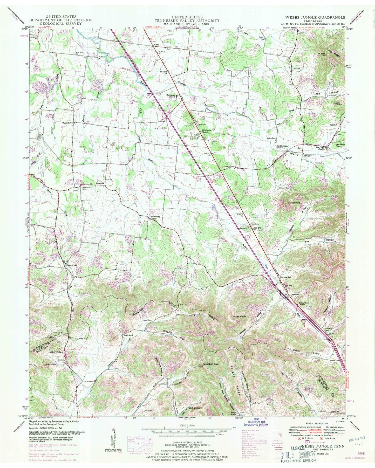
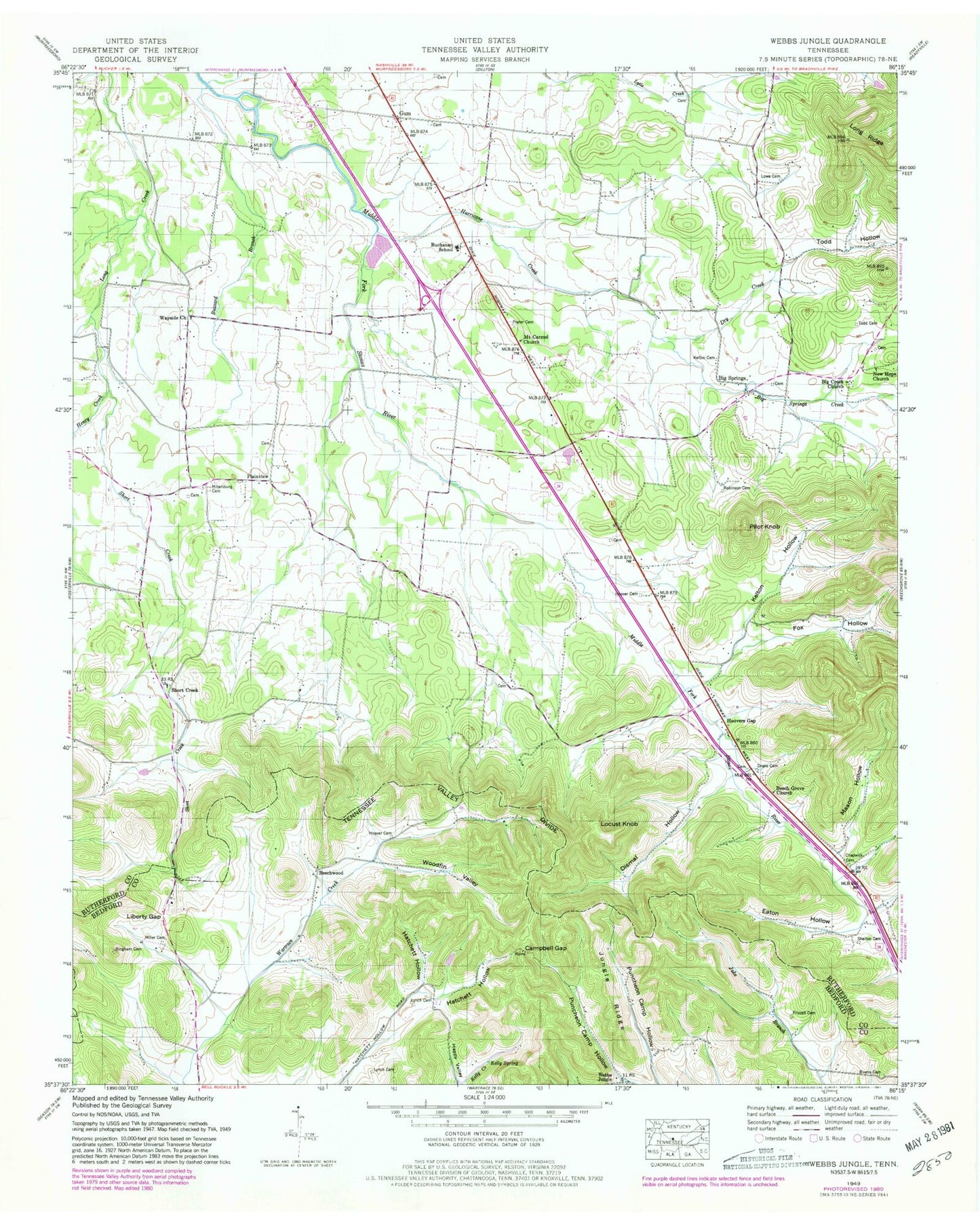
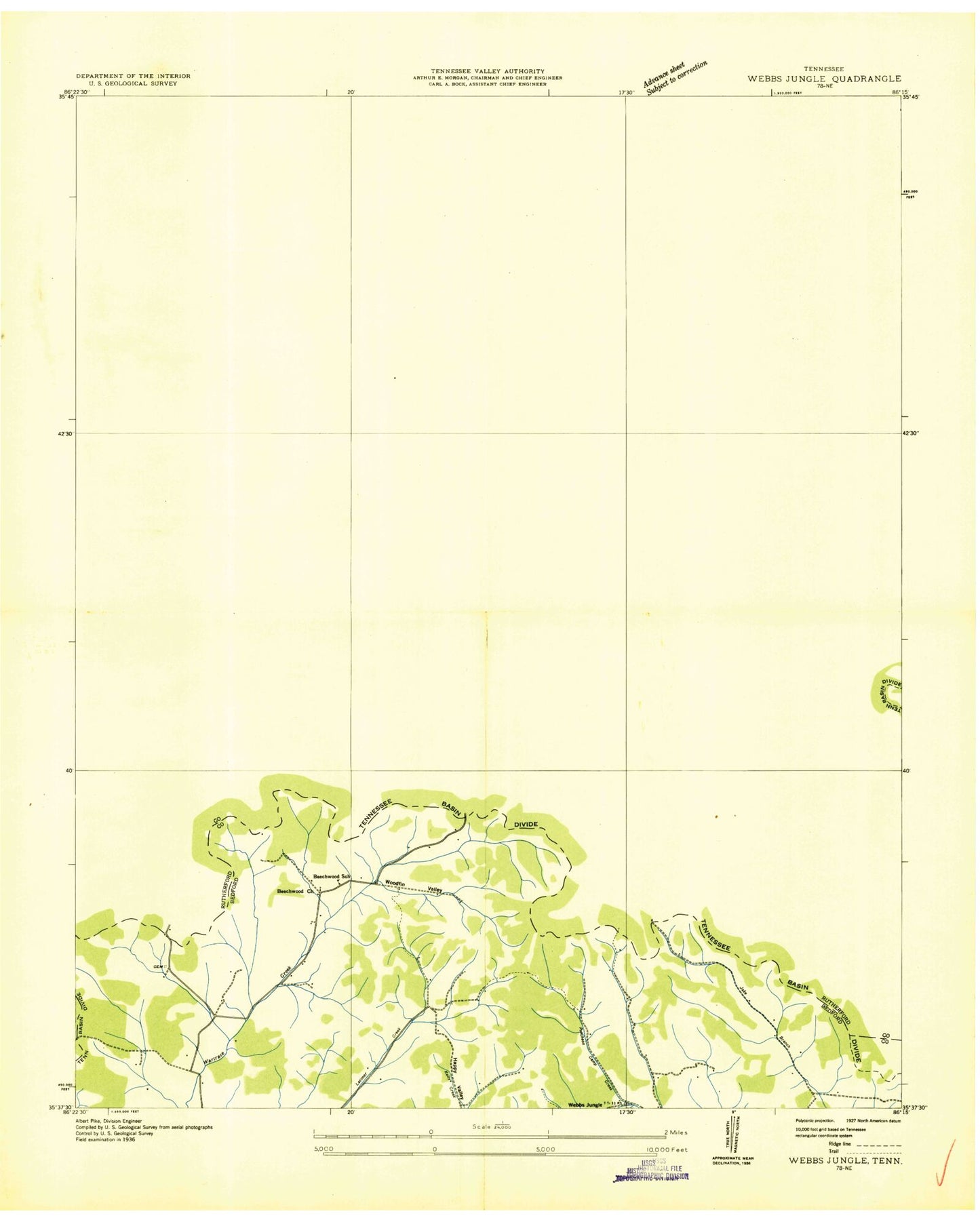
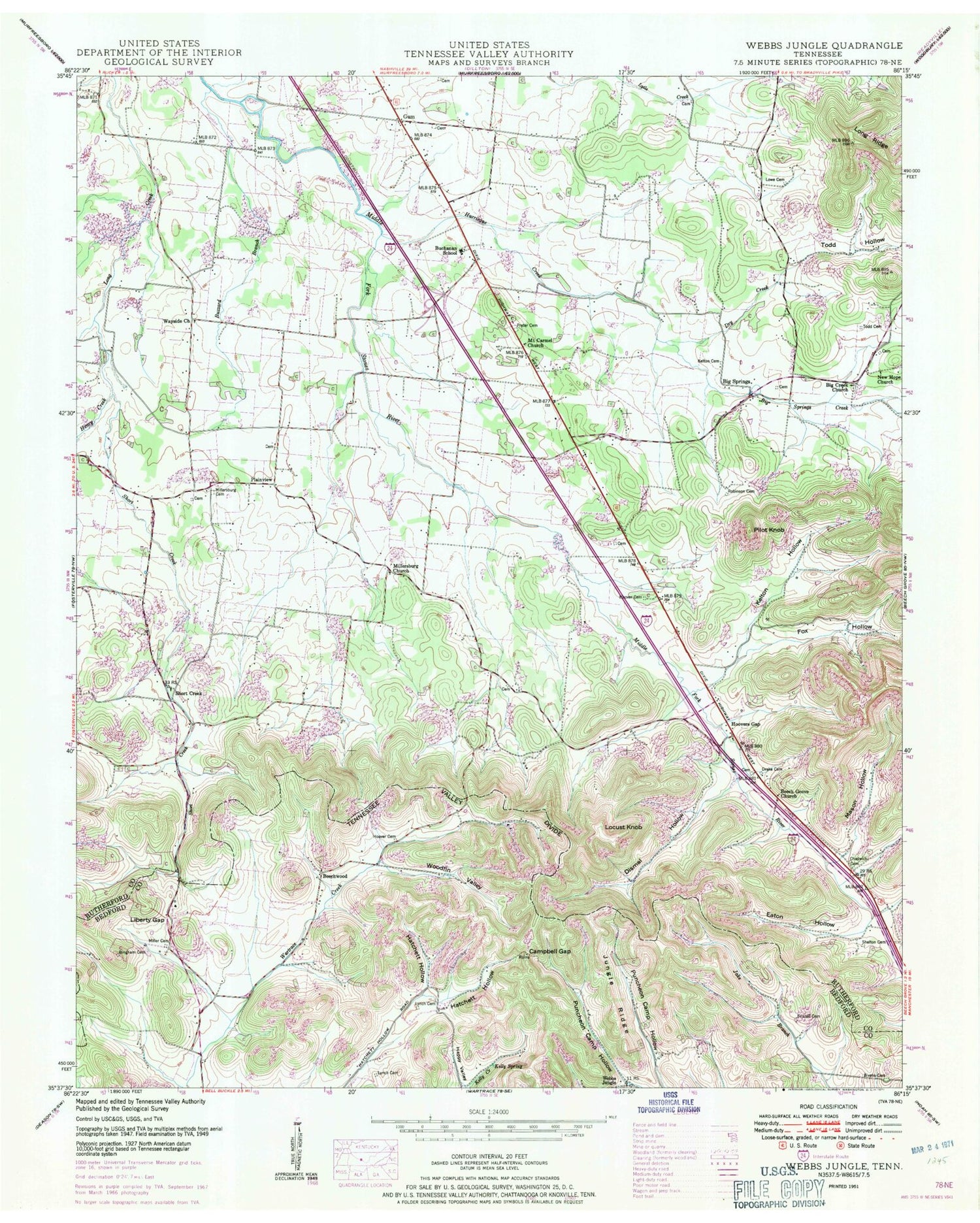
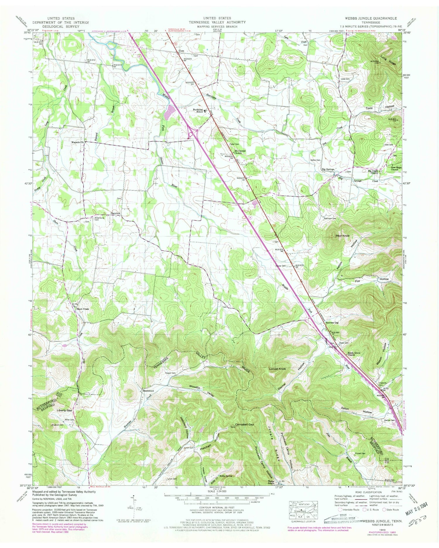
Classic USGS Webbs Jungle Tennessee 7.5'x7.5' Topo Map
Couldn't load pickup availability
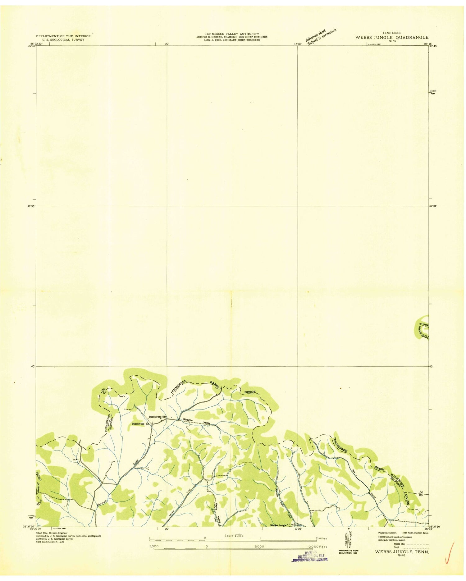
Historical USGS topographic quad map of Webbs Jungle in the state of Tennessee. Typical map scale is 1:24,000, but may vary for certain years, if available. Print size: 24" x 27"
This quadrangle is in the following counties: Bedford, Rutherford.
The map contains contour lines, roads, rivers, towns, and lakes. Printed on high-quality waterproof paper with UV fade-resistant inks, and shipped rolled.
Contains the following named places: Long Ridge, Shelton Cemetery, Short Creek, Todd Cemetery, Todd Hollow, Woodfin Valley, Beech Grove Church, Bingham Cemetery, Bivens Cemetery, Buchannan School, Buzzard Branch, Campbell Gap, Chadwick Cemetery, Dismal Hollow, Drake Cemetery, Dry Creek, Eaton Hollow, Fox Hollow, Frizzell Cemetery, Gum, Hatchett Hollow, Hatchett Hollow, Henry Creek, Hoover Cemetery, Hoover Cemetery, Hoovers Gap, Hurricane Creek, Jungle Ridge, Kelly Spring, Kelton Cemetery, Kelton Hollow, Liberty Gap, Locust Knob, Lowe Cemetery, Lynch Cemetery, Lynch Cemetery, Mason Hollow, Miller Cemetery, Old Millersburg Cemetery, Millersburg Church, Mount Carmel Church, New Hope Baptist Church, Pilot Knob, Plainview, Prater Cemetery, Robinson Cemetery, Wayside Church, Big Creek Church, Big Springs, Big Springs Creek, Knox Branch, Mount Olivet (historical), Short Creek, Webbs Jungle, Beechwood, Beechwood Church, Beechwood School (historical), Bigham Cemetery, Clark Cemetery, Hatchett Cemetery, Jernigan Cemetery, Kelly Cemetery, Robinson Cemetery, Stephenson Cemetery, Stinnett Cemetery, Liberty Church (historical), Precitt School (historical), Rutherford College (historical), Smiths Old Mill (historical), Big Creek Cemetery, Big Spring, Bowman Cemetery, Delbridge Cemetery, Fox-Hoover Cemetery, Hoover Cemetery, Howland Cemetery, Jameson Cemetery, Knox Cemetery, Lowe Cemetery, Lowe-Daniel Cemetery, Mankin Cemetery, Mankin Cemetery, Marlin Cemetery, Mayfield Cemetery, McKee Cemetery, McNeil Cemetery, New Hope Cemetery, Newman Cemetery, Old Millersburg (historical), Pearson Cemetery, Pruett Cemetery, Short Creek Baptist Church, Todd Cemetery, Wood - Adcock Cemetery, Commissioner District 6, Christiana Volunteer Fire Department, Cedar Glade Aerodrome, Long Ridge, Shelton Cemetery, Short Creek, Todd Cemetery, Todd Hollow, Woodfin Valley, Beech Grove Church, Bingham Cemetery, Bivens Cemetery, Buchannan School, Buzzard Branch, Campbell Gap, Chadwick Cemetery, Dismal Hollow, Drake Cemetery, Dry Creek, Eaton Hollow, Fox Hollow, Frizzell Cemetery, Gum, Hatchett Hollow, Hatchett Hollow, Henry Creek, Hoover Cemetery, Hoover Cemetery, Hoovers Gap, Hurricane Creek, Jungle Ridge, Kelly Spring, Kelton Cemetery, Kelton Hollow, Liberty Gap, Locust Knob, Lowe Cemetery, Lynch Cemetery, Lynch Cemetery, Mason Hollow, Miller Cemetery, Old Millersburg Cemetery, Millersburg Church, Mount Carmel Church, New Hope Baptist Church, Pilot Knob, Plainview, Prater Cemetery, Robinson Cemetery, Wayside Church, Big Creek Church, Big Springs, Big Springs Creek, Knox Branch, Mount Olivet (historical), Short Creek, Webbs Jungle, Beechwood, Beechwood Church, Beechwood School (historical), Bigham Cemetery, Clark Cemetery, Hatchett Cemetery, Jernigan Cemetery, Kelly Cemetery, Robinson Cemetery, Stephenson Cemetery, Stinnett Cemetery, Liberty Church (historical), Precitt School (historical), Rutherford College (historical), Smiths Old Mill (historical), Big Creek Cemetery, Big Spring, Bowman Cemetery, Delbridge Cemetery, Fox-Hoover Cemetery, Hoover Cemetery, Howland Cemetery, Jameson Cemetery, Knox Cemetery, Lowe Cemetery, Lowe-Daniel Cemetery, Mankin Cemetery, Mankin Cemetery, Marlin Cemetery, Mayfield Cemetery, McKee Cemetery, McNeil Cemetery, New Hope Cemetery, Newman Cemetery, Old Millersburg (historical), Pearson Cemetery, Pruett Cemetery, Short Creek Baptist Church, Todd Cemetery, Wood - Adcock Cemetery, Commissioner District 6, Christiana Volunteer Fire Department, Cedar Glade Aerodrome
