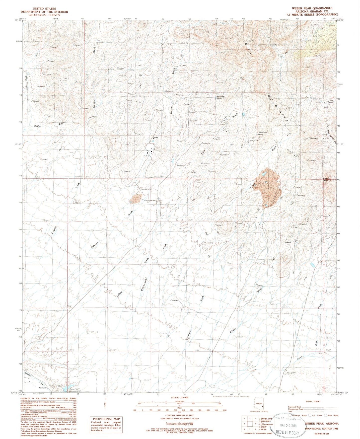
MyTopo
Classic USGS Weber Peak Arizona 7.5'x7.5' Topo Map
Regular price
$16.95
Regular price
Sale price
$16.95
Unit price
per
Couldn't load pickup availability
Historical USGS topographic quad map of Weber Peak in the state of Arizona. Map scale may vary for some years, but is generally around 1:24,000. Print size is approximately 24" x 27"
This quadrangle is in the following counties: Graham.
The map contains contour lines, roads, rivers, towns, and lakes. Printed on high-quality waterproof paper with UV fade-resistant inks, and shipped rolled.
Contains the following named places: Bear Spring, Ben Hur Mine, Cottonwood Spring, Graham, Graham Cemetery, Grant Morris Dam, Hackberry Spring, Safford Morence Trail, San Juan Mine, Talley Spring, Walnut Springs, Weber Peak, West Ranch