MyTopo
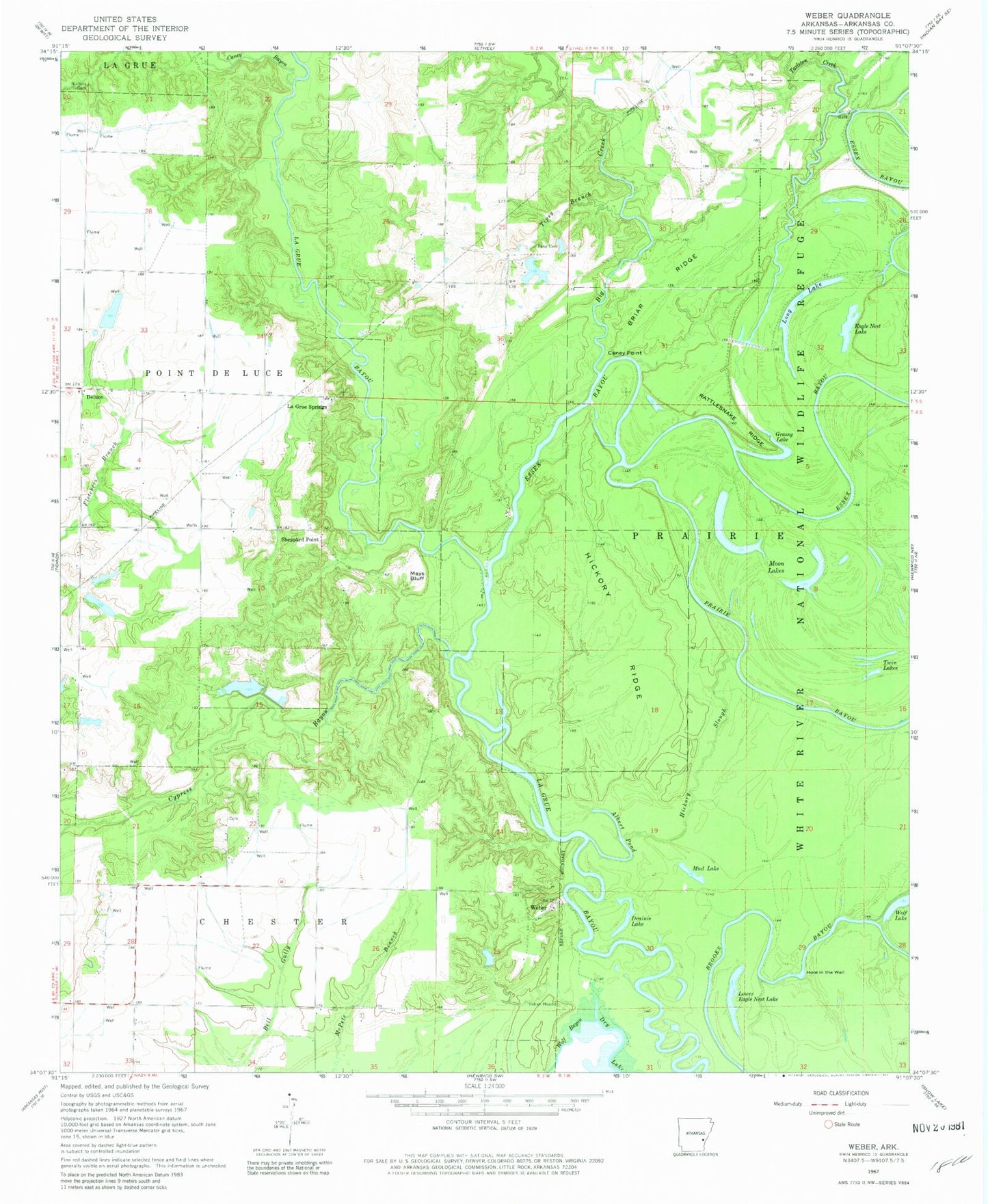
Classic USGS Weber Arkansas 7.5'x7.5' Topo Map
Couldn't load pickup availability
Historical USGS topographic quad map of Weber in the state of Arkansas. Typical map scale is 1:24,000, but may vary for certain years, if available. Print size: 24" x 27"
This quadrangle is in the following counties: Arkansas.
The map contains contour lines, roads, rivers, towns, and lakes. Printed on high-quality waterproof paper with UV fade-resistant inks, and shipped rolled.
Contains the following named places: Albert Pond, Big Creek, Briar Ridge, Brooks Bayou, Caney Bayou, Caney Point, Cypress Bayou, Essex Bayou, Hickory Ridge, Hickory Slough, Mays Bluff, Nichols Cemetery, Prairie Bayou, Rattlesnake Ridge, Tarleton Creek, Tipsy Branch, Tipsy Cemetery, Sheppard Point, Weber, Church of God (historical), Malcolm School (historical), Oakdale School (historical), Payne School (historical), Union School (historical), Williams School (historical), Deluce, Drainie Lake, Eagle Nest Lake, Grassy Lake, Hole in the Wall, Long Lake, Lower Eagle Nest Lake, Moon Lakes, Mud Lake, Twin Lakes, Wolf Lake, La Grue Springs, Wright Lake Dam, Wright Lake, Dudley Lake Dam, Dudley Lake, Potlatch Pond Number One Dam, Bradberry Pond, Potlatch Pond Number Two Dam, Potlatch Pond Number Two


