MyTopo
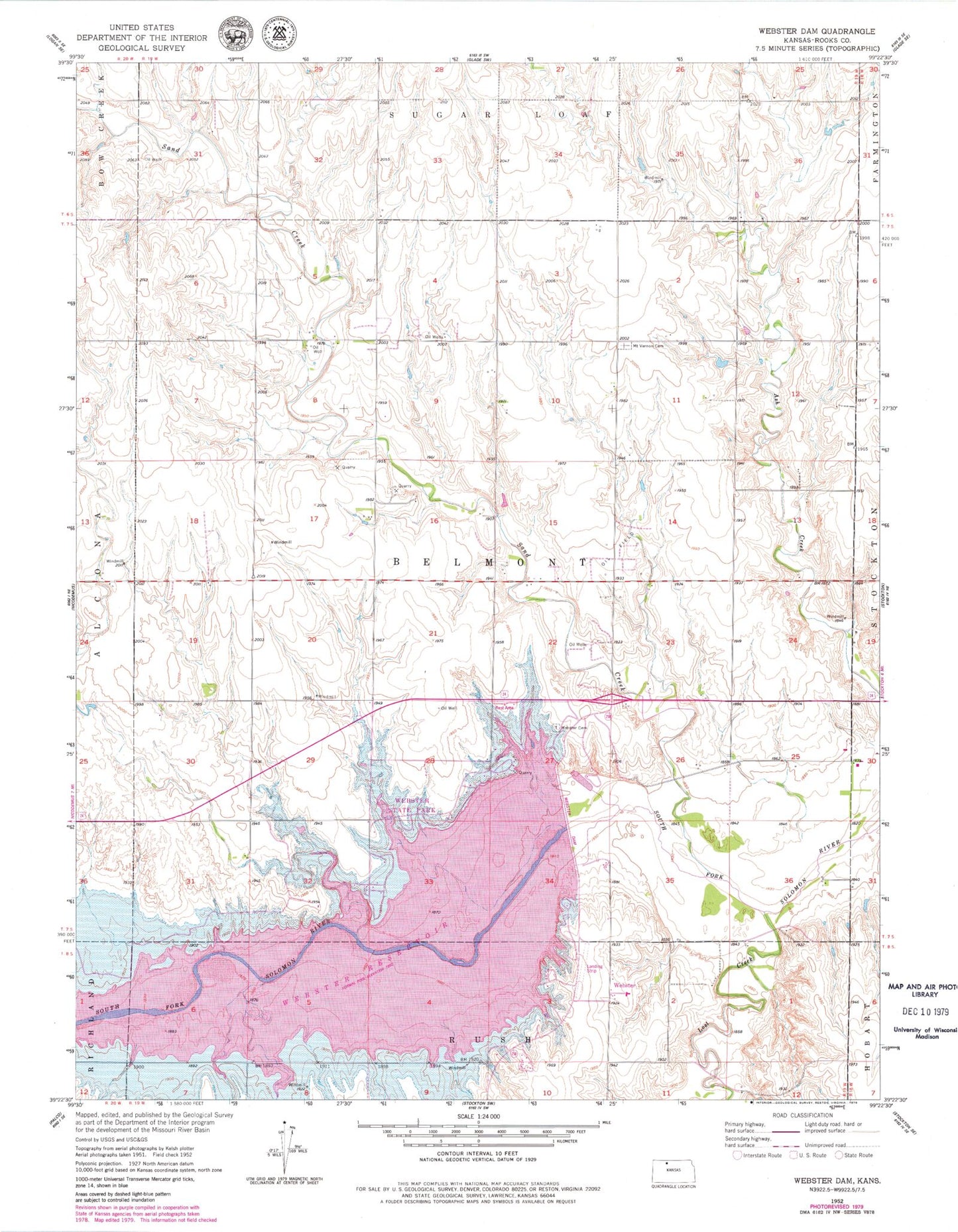
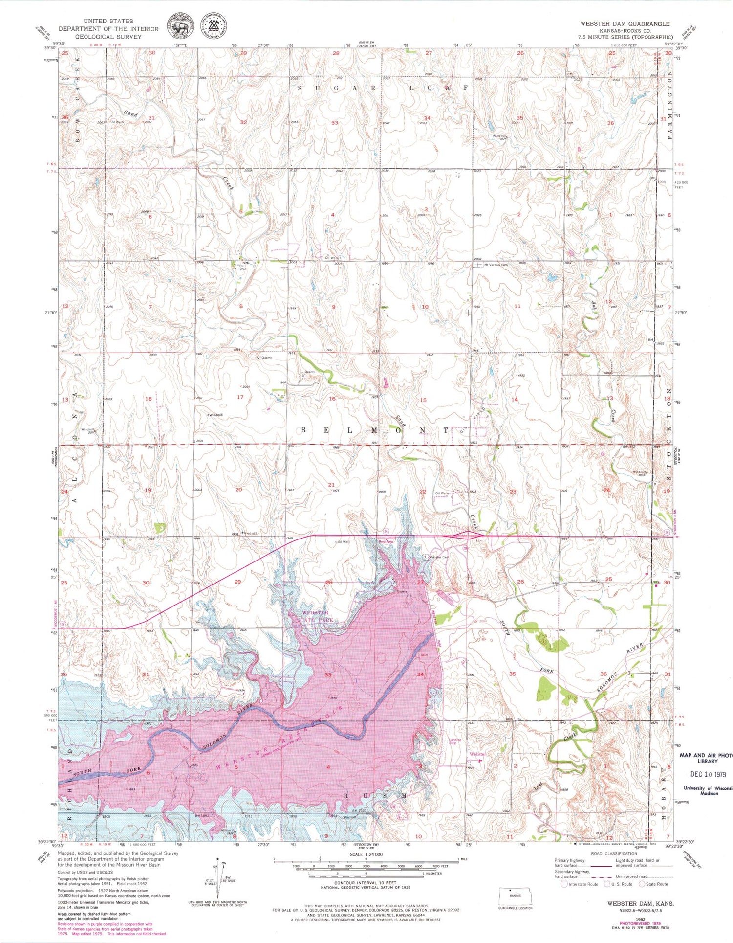
Classic USGS Webster Dam Kansas 7.5'x7.5' Topo Map
Couldn't load pickup availability
Historical USGS topographic quad map of Webster Dam in the state of Kansas. Map scale may vary for some years, but is generally around 1:24,000. Print size is approximately 24" x 27"
This quadrangle is in the following counties: Rooks.
The map contains contour lines, roads, rivers, towns, and lakes. Printed on high-quality waterproof paper with UV fade-resistant inks, and shipped rolled.
Contains the following named places: Lost Creek, Mount Vernon Cemetery, Mount Vernon Community Hall, Sand Creek, Township 6, Webster, Webster Cemetery, Webster Dam, Webster Reservoir Airstrip, Webster State Park, Webster State Park Canada Campground, Webster State Park Eagle Landing Campground, Webster State Park Lake View Camping Area, Webster State Park Law Enforcement, Webster State Park Marina Point Campground, Webster State Park Mushroom Camping Area, Webster State Park Office Building, Webster State Park Old Marina Campground, Webster State Park Rock Point Campground