MyTopo
Classic USGS Webster NW Montana 7.5'x7.5' Topo Map
Regular price
$16.95
Regular price
Sale price
$16.95
Unit price
per
Couldn't load pickup availability
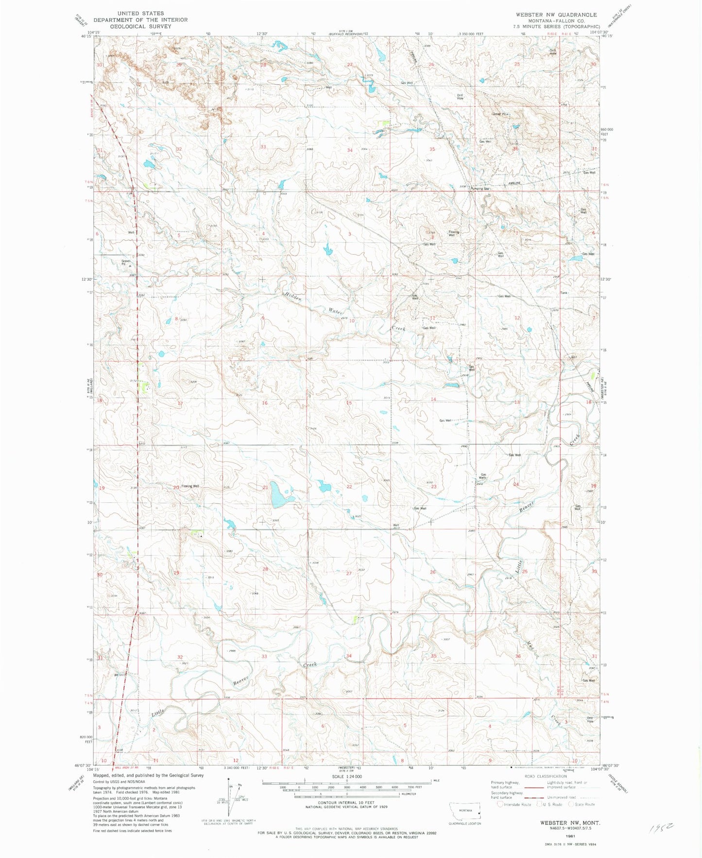
Historical USGS topographic quad map of Webster NW in the state of Montana. Map scale may vary for some years, but is generally around 1:24,000. Print size is approximately 24" x 27"
This quadrangle is in the following counties: Fallon.
The map contains contour lines, roads, rivers, towns, and lakes. Printed on high-quality waterproof paper with UV fade-resistant inks, and shipped rolled.
Contains the following named places: 05N60E05BB__01 Well, 05N60E06AD__01 Well, 05N60E08CC__01 Well, 05N60E17BCB_01 Well, 05N60E20DC__01 Well, 05N60E21DB__01 Well, 05N60E29BB__01 Well, 05N60E34AB__01 Well, Hidden Water Creek, Mud Creek, Richards Creek, Violet Post Office