MyTopo
Classic USGS Webster Springs SW West Virginia 7.5'x7.5' Topo Map
Couldn't load pickup availability
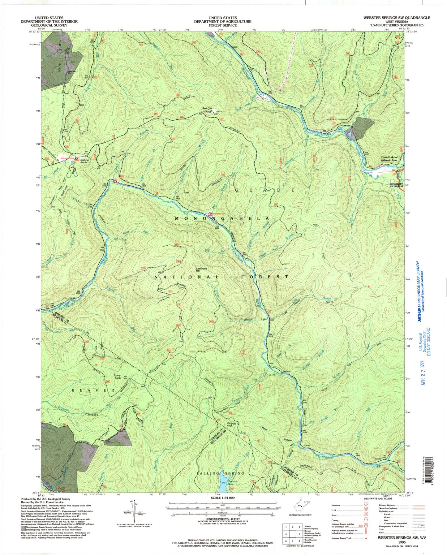
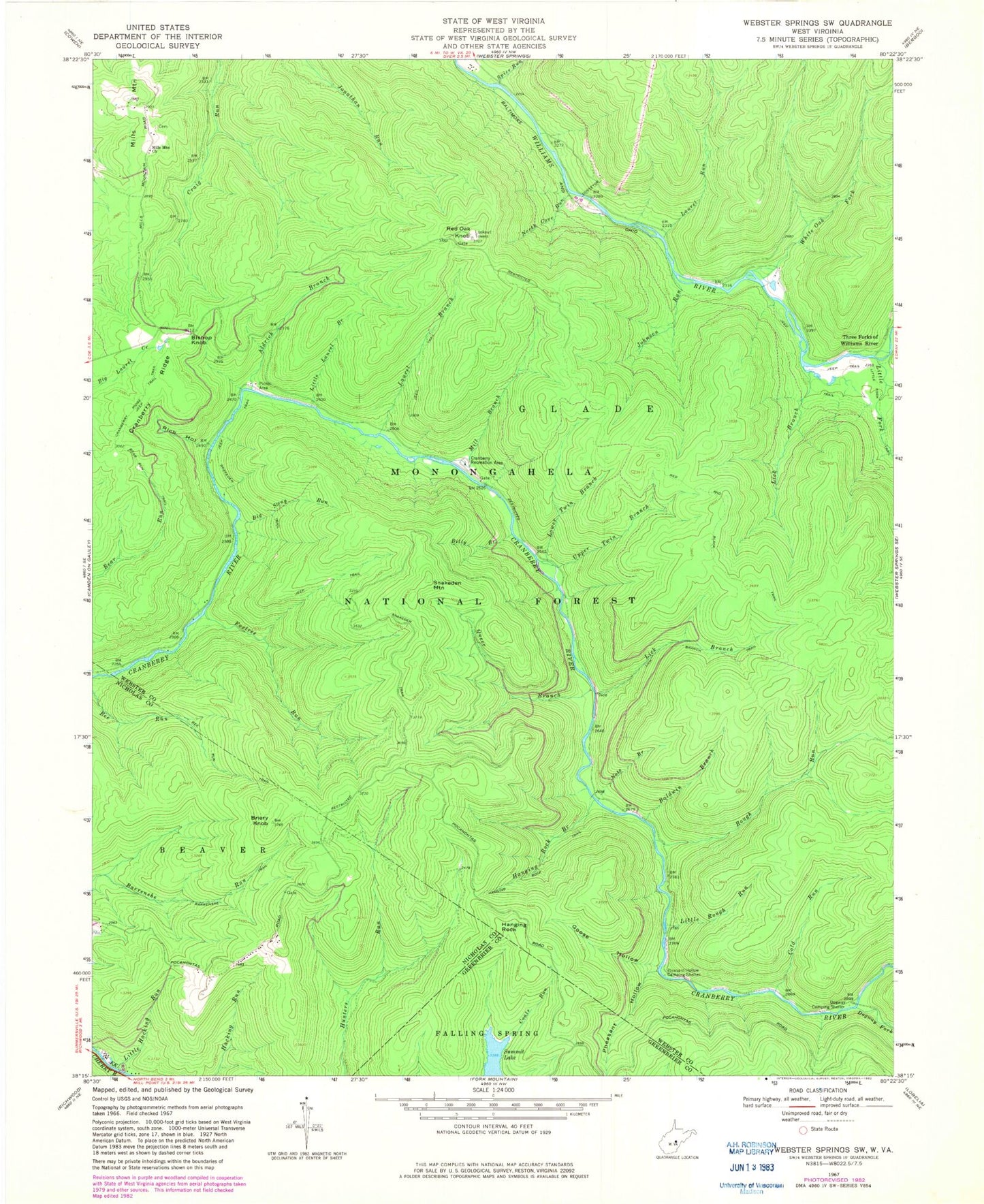
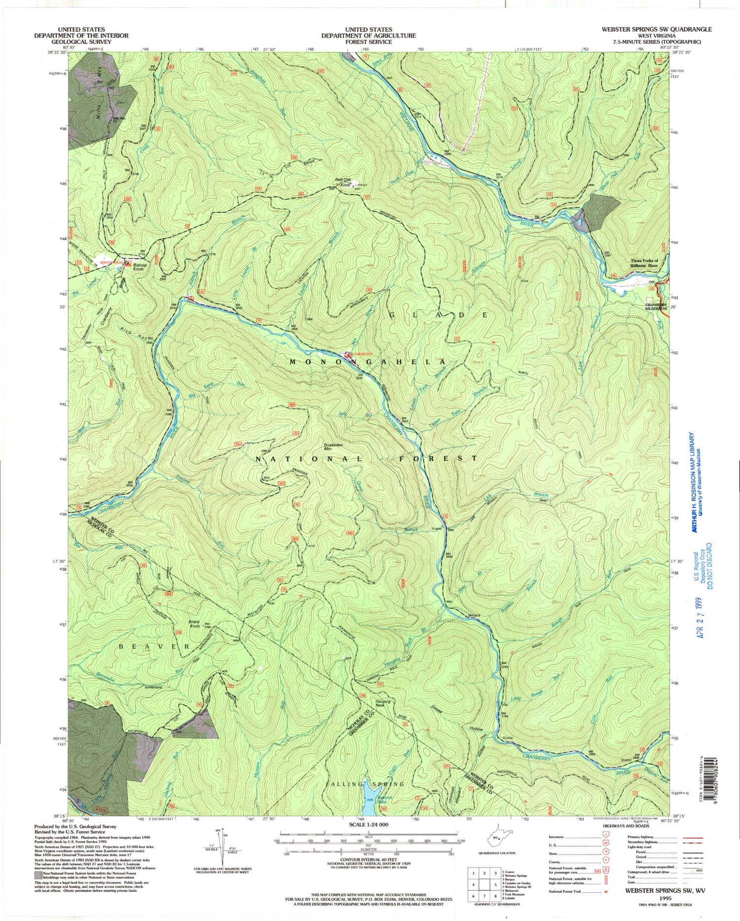
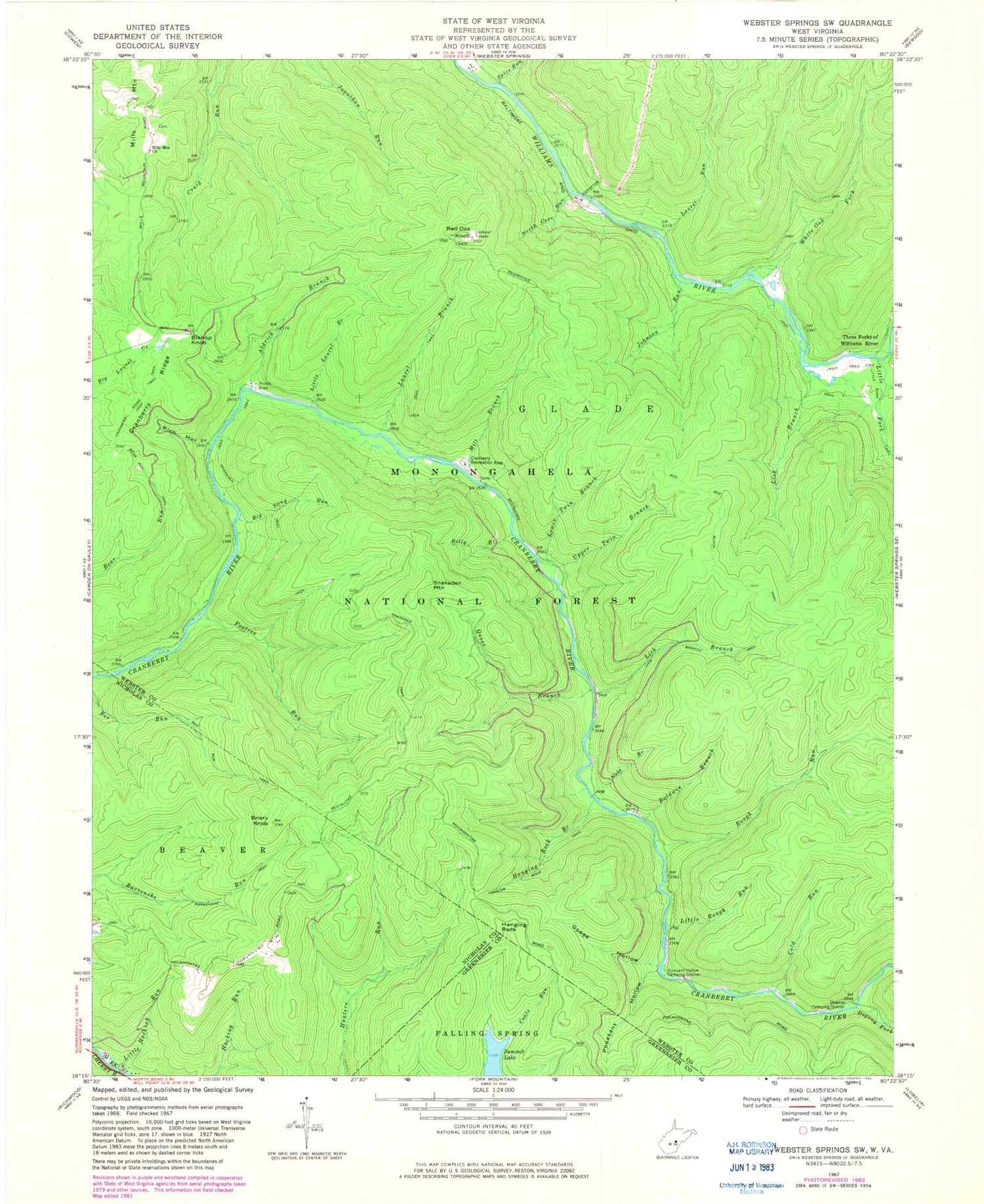
Historical USGS topographic quad map of Webster Springs SW in the state of West Virginia. Typical map scale is 1:24,000, but may vary for certain years, if available. Print size: 24" x 27"
This quadrangle is in the following counties: Greenbrier, Nicholas, Webster.
The map contains contour lines, roads, rivers, towns, and lakes. Printed on high-quality waterproof paper with UV fade-resistant inks, and shipped rolled.
Contains the following named places: Aldrich Branch, Baldwin Branch, Barrenshe Trail, Bear Run Trail, Bee Run Trail, Big Swag Run, Billy Branch, Briery Knob, Cold Run, Cranberry Campground, Cranberry Ridge, Dogway Camping Shelter, Dogway Fork, Foxtree Run, Goose Hollow, Hanging Rock Branch, Hanging Rock Trail, Johnson Run, Laurel Branch, Laurel Run, Lick Branch, Lick Branch, Lick Branch Trail, Little Fork, Little Hacking Run, Little Laurel Branch, Little Rough Run, Lower Twin Branch, Middle Fork Williams River, Mill Branch, Mills Mountain, Mills Mountain Church, North Cove Run, Note Branch, Pheasant Hollow, Pleasant Hollow Camping Shelter, Queer Branch, Red Oak Knob, Rich Hollow, Rough Run, Snakeden Trail, Spice Run, Summit Lake, Three Forks of Williams River, Upper Twin Branch, White Oak Fork, Cranberry Back Country, Bishop Knob, Hanging Rock, Snakeden Mountain, Bishop Knob Recreation Area, Red Oak Lookout Tower, Central District, Cranberry Wildlife Management Area, Blacks Chapel Cemetery


