MyTopo
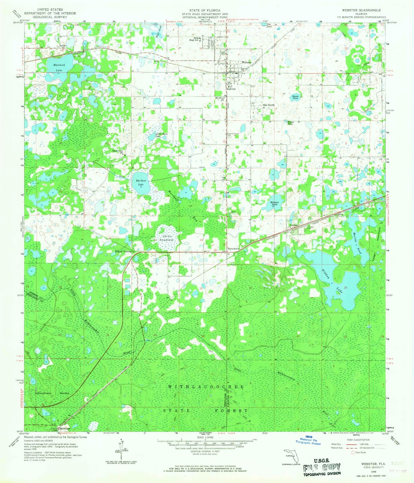
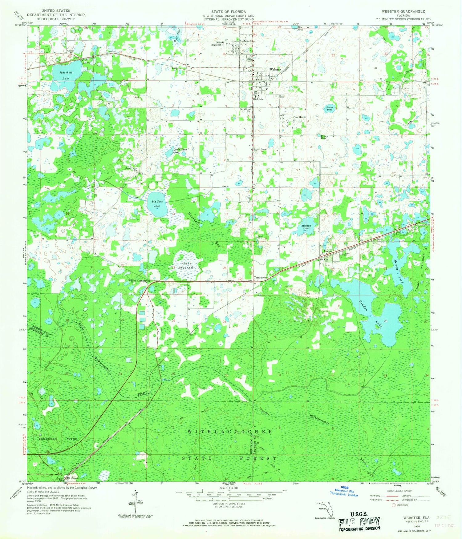
Classic USGS Webster Florida 7.5'x7.5' Topo Map
Couldn't load pickup availability
Historical USGS topographic quad map of Webster in the state of Florida. Map scale may vary for some years, but is generally around 1:24,000. Print size is approximately 24" x 27"
This quadrangle is in the following counties: Hernando, Sumter.
The map contains contour lines, roads, rivers, towns, and lakes. Printed on high-quality waterproof paper with UV fade-resistant inks, and shipped rolled.
Contains the following named places: Akins Sawgrass, Beulah Baptist Church, Big Gant Lake, Brown Pond, Bushnell-Center Hill Division, Cedar Hammock, Christian Love Center Church of God, City of Center Hill, City of Webster, City of Webster Water Tower, Cow Camp, E C Rowell Public Library, First Baptist Church, First Baptist Church of Webster, Flag Ford, Gant Lake Baptist Church, Garden of Memories Cemetery, Giddon Lake, Head Swamp, Indianhouse Swamp, Lake - Sumter Emergency Medical Services Station 451, Linden, Linden Cemetery, Linden Church of God, Linden United Methodist Church, Little Gant Lake, Marshall Bay, Matchett Cemetery, Matchett Lake, Merritt Pond, Morgan Pond, Mount Olive Missionary Baptist Church, Mount Pisgah African Methodist Episcopal Church, New Life Church of God in Christ, Oak Grove, Refuge Church of Our Lord, Richloam, Richloam Wildlife Management Area, South Sumter Middle School, Staten Pond, Stewart Chapel Cemetery, Sumter County Farmers Market, Sumter County Fire and EMS Station 12 - Webster, Sumter County Fire and Rescue Department Station 12 Webster Fire District, Tarrytown, Webster, Webster Community Hall, Webster Elementary School, Webster Mobile Home and Travel Park, Webster Police Department, Webster Post Office, Webster United Methodist Church, Williams Chapel Church of God by Faith, Wilson Corners, Wolf Pond, ZIP Code: 33597


