MyTopo
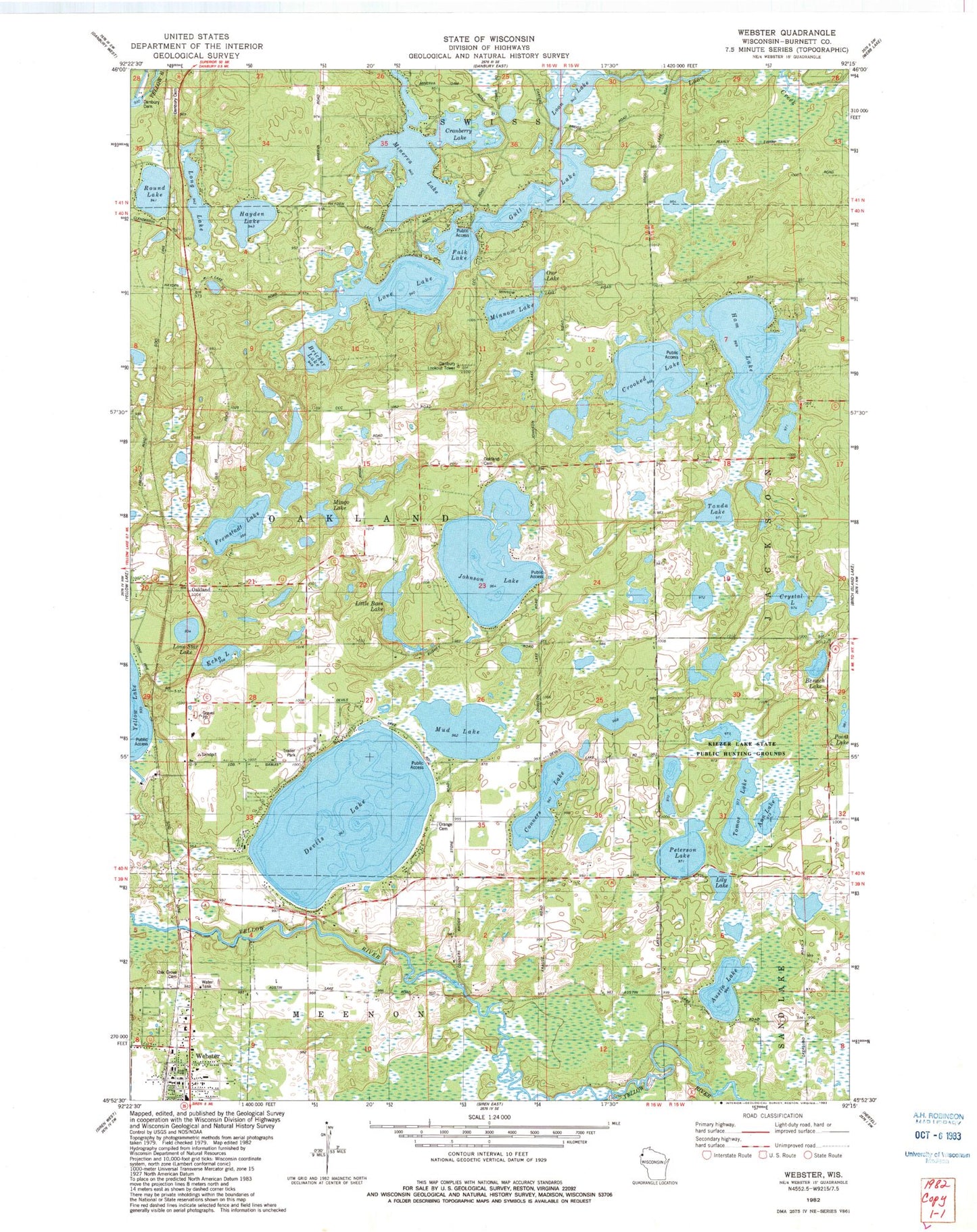
Classic USGS Webster Wisconsin 7.5'x7.5' Topo Map
Couldn't load pickup availability
Historical USGS topographic quad map of Webster in the state of Wisconsin. Typical map scale is 1:24,000, but may vary for certain years, if available. Print size: 24" x 27"
This quadrangle is in the following counties: Burnett.
The map contains contour lines, roads, rivers, towns, and lakes. Printed on high-quality waterproof paper with UV fade-resistant inks, and shipped rolled.
Contains the following named places: Austin Lake, Benach Lake, Conners Lake, Cranberry Lake, Crooked Lake, Crystal Lake, Danbury Cemetery, Devils Lake, Echo Lake, Falk Lake, Fremstadt Lake, Gull Lake, Ham Lake, Hayden Lake, Jackson School, Johnson Lake, Lily Lake, Little Bass Lake, Lone Pine School, Lone Star Lake, Long Lake, Love Lake, Minerva Lake, Mingo Lake, Minnow Lake, Mud Lake, Oakland, Oakland Cemetery, Orange Cemetery, Orange School, Our Lake, Peterson Lake, Round Lake, Tanda Lake, Tomoe Lake, Webster, Danbury Lookout Tower, Town of Oakland, Village of Webster, Danbury 2WP696 Dam, Minerva 2WP503 Dam, Ann Lake, Bricher Lake, Kiezer Lake State Public Hunting Grounds, Oak Grove Cemetery, Connor's Lake Landing, Dahlberg Lake, Webster Fire Department, North Memorial Ambulance Burnett County, Webster High School, Webster Middle School, Webster Police Department, Kiezer Lake, Webster Post Office


