MyTopo
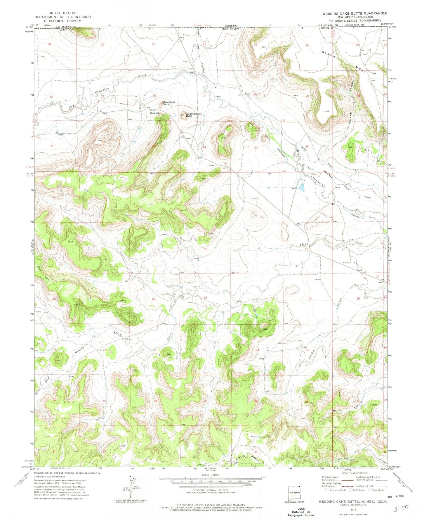
Classic USGS Wedding Cake Butte New Mexico 7.5'x7.5' Topo Map
Regular price
$16.95
Regular price
Sale price
$16.95
Unit price
per
Couldn't load pickup availability
Historical USGS topographic quad map of Wedding Cake Butte in the state of New Mexico. Map scale may vary for some years, but is generally around 1:24,000. Print size is approximately 24" x 27"
This quadrangle is in the following counties: Las Animas, Union.
The map contains contour lines, roads, rivers, towns, and lakes. Printed on high-quality waterproof paper with UV fade-resistant inks, and shipped rolled.
Contains the following named places: Berry Ditch, Bontz Canyon, Heyen, Pinon Ridge, Sheep Pen Canyon, Shiprock, Sloan Canyon, South Beheimer Ditch, Steamboat Butte, Wedding Cake Butte, Wedding Cake Ranch Airport, Williams Canyon