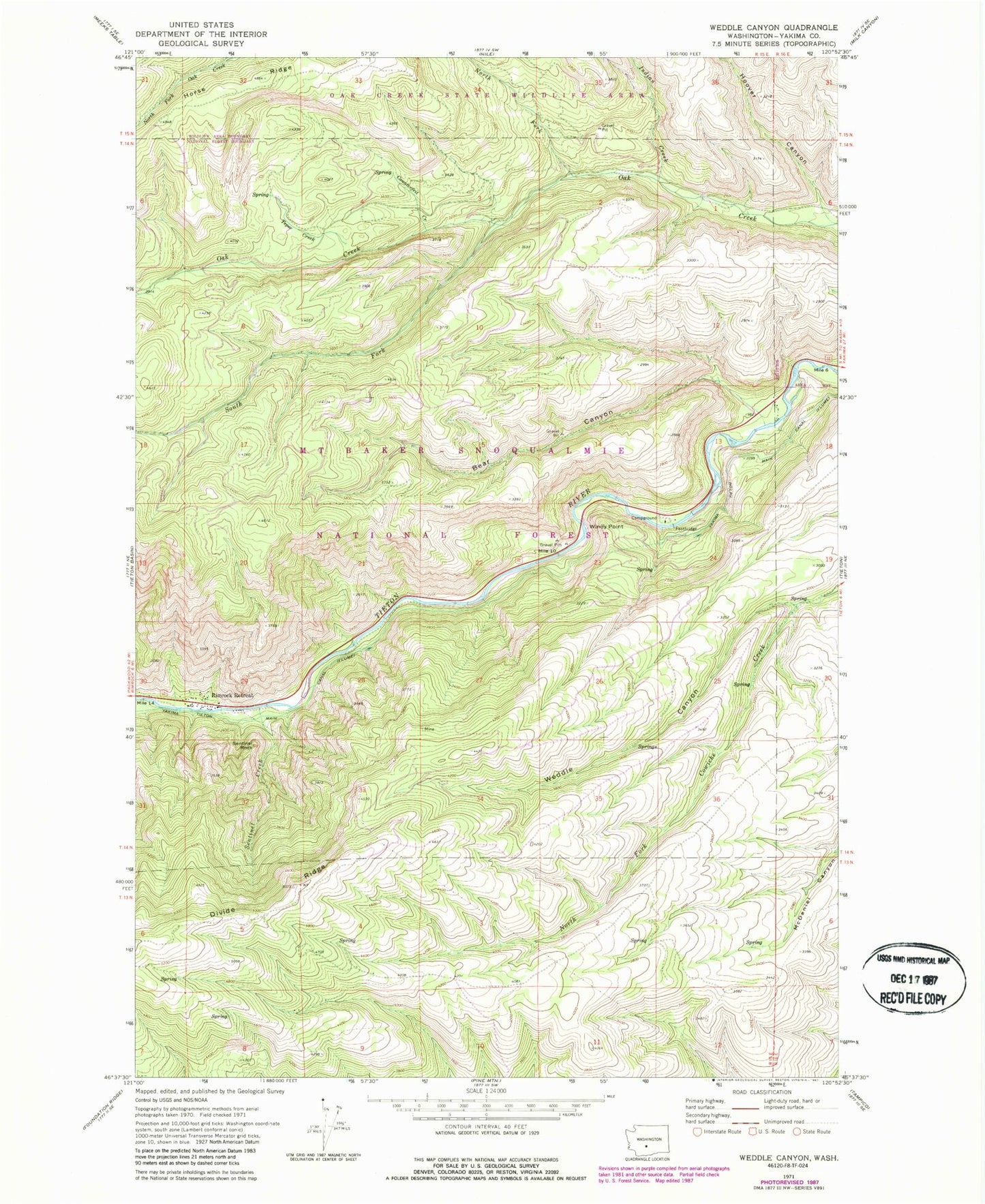
MyTopo
Classic USGS Weddle Canyon Washington 7.5'x7.5' Topo Map
Regular price
$16.95
Regular price
Sale price
$16.95
Unit price
per
Couldn't load pickup availability
Historical USGS topographic quad map of Weddle Canyon in the state of Washington. Typical map scale is 1:24,000, but may vary for certain years, if available. Print size: 24" x 27"
This quadrangle is in the following counties: Yakima.
The map contains contour lines, roads, rivers, towns, and lakes. Printed on high-quality waterproof paper with UV fade-resistant inks, and shipped rolled.
Contains the following named places: Bear Canyon, Counterfeit Creek, Hoover Canyon, Indian Creek, North Fork Oak Creek, Rimrock Retreat, Sentinel Creek, Sentinel Rock, South Fork Oak Creek, Tepee Creek, Weddle Canyon, Windy Point, Yakima Tieton Main Canal, Windy Point Campground, Trout Lodge