MyTopo
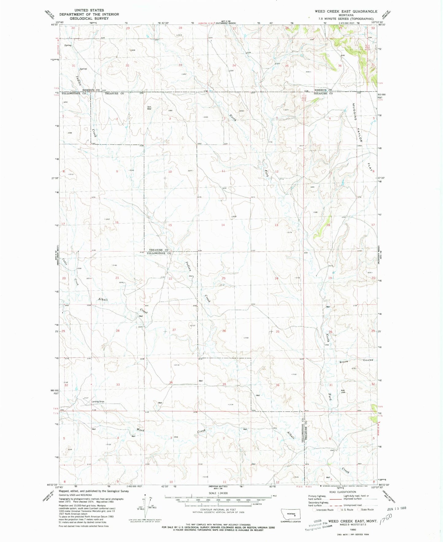
Classic USGS Weed Creek East Montana 7.5'x7.5' Topo Map
Regular price
$16.95
Regular price
Sale price
$16.95
Unit price
per
Couldn't load pickup availability
Historical USGS topographic quad map of Weed Creek East in the state of Montana. Map scale may vary for some years, but is generally around 1:24,000. Print size is approximately 24" x 27"
This quadrangle is in the following counties: Rosebud, Treasure, Yellowstone.
The map contains contour lines, roads, rivers, towns, and lakes. Printed on high-quality waterproof paper with UV fade-resistant inks, and shipped rolled.
Contains the following named places: 07N33E06DBD_01 Well, 08N33E05BDBD01 Well, 08N33E19BCDD01 Well, Cabin Creek, Indian Creek, Injun Creek, McLane School, Stove Coulee, Weed Creek