MyTopo
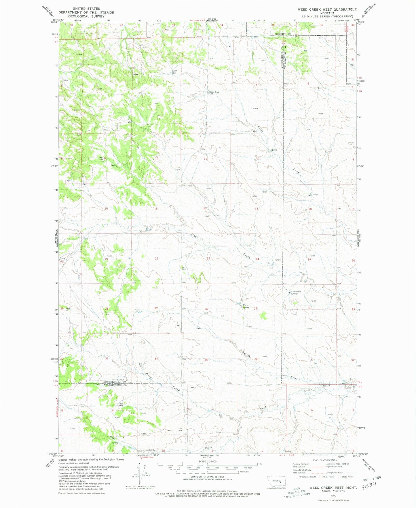
Classic USGS Weed Creek West Montana 7.5'x7.5' Topo Map
Regular price
$16.95
Regular price
Sale price
$16.95
Unit price
per
Couldn't load pickup availability
Historical USGS topographic quad map of Weed Creek West in the state of Montana. Map scale may vary for some years, but is generally around 1:24,000. Print size is approximately 24" x 27"
This quadrangle is in the following counties: Musselshell, Rosebud, Yellowstone.
The map contains contour lines, roads, rivers, towns, and lakes. Printed on high-quality waterproof paper with UV fade-resistant inks, and shipped rolled.
Contains the following named places: 07N31E02BBBB01 Well, 08N31E02CDDD01 Well, 08N31E29DBC_01 Well, 08N31E36DDDD01 Well, 08N31E36DDDD02 Well, 08N31E36DDDD03 Well, Cabin Creek Cemetery, Lemonade Spring, Rock Spring, Spring Creek, Wolf Spring Creek