MyTopo
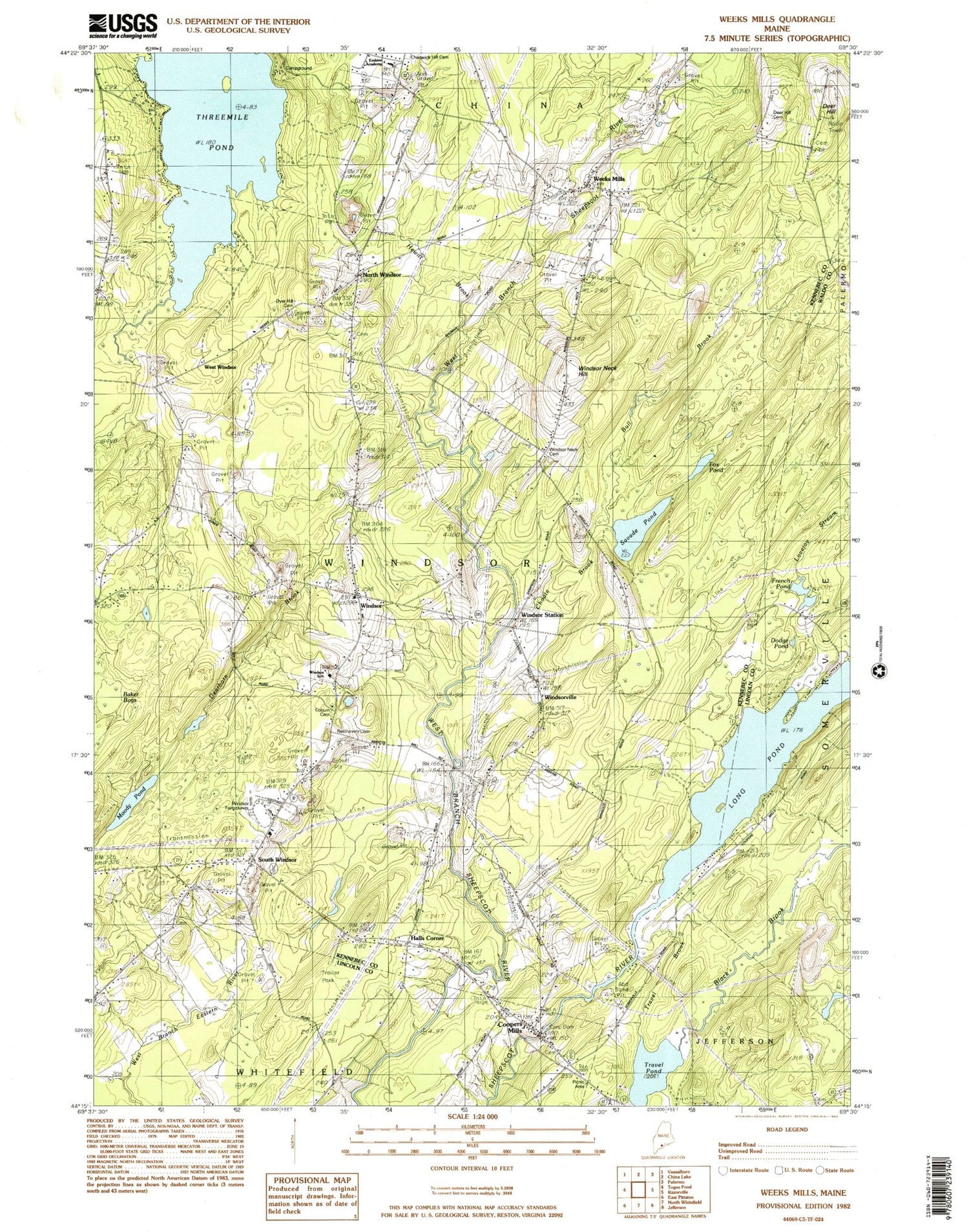
Classic USGS Weeks Mills Maine 7.5'x7.5' Topo Map
Couldn't load pickup availability
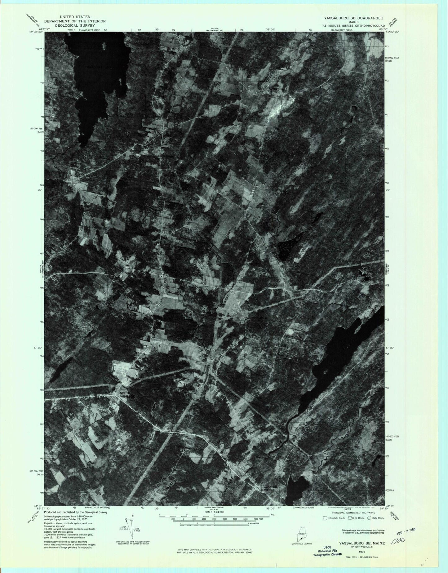
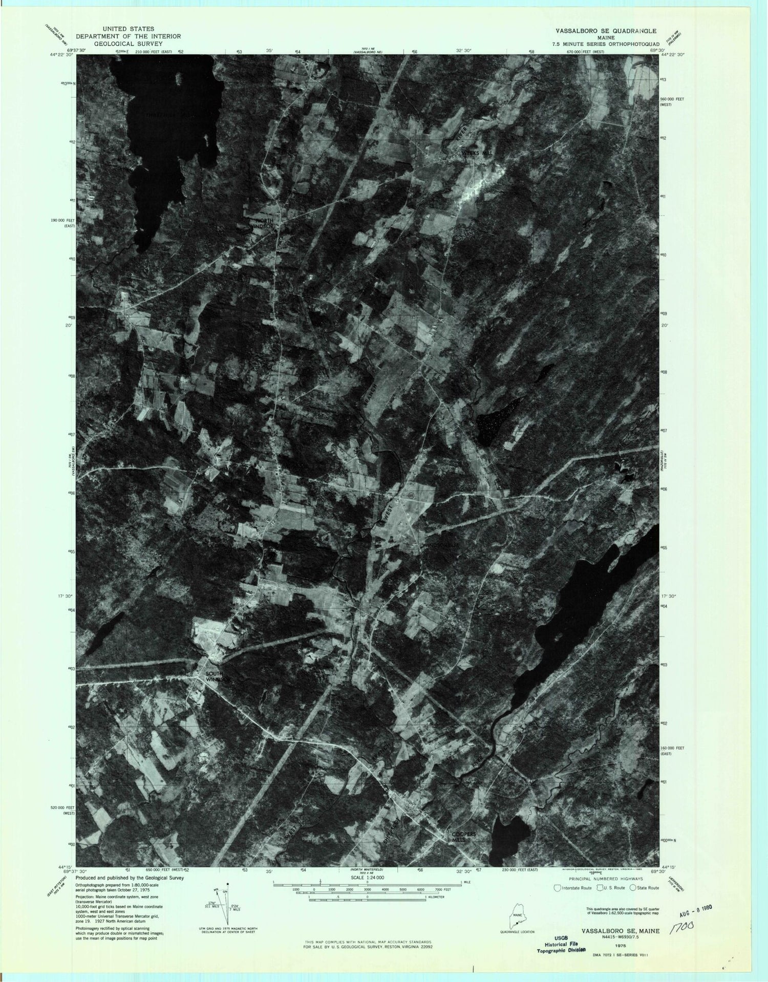
Historical USGS topographic quad map of Weeks Mills in the state of Maine. Map scale may vary for some years, but is generally around 1:24,000. Print size is approximately 24" x 27"
This quadrangle is in the following counties: Kennebec, Lincoln, Waldo.
The map contains contour lines, roads, rivers, towns, and lakes. Printed on high-quality waterproof paper with UV fade-resistant inks, and shipped rolled.
Contains the following named places: Black Brook, Blackman Cemetery, Brann Brook, Bull Brook, China Volunteer Fire Department Weeks Mills Station, Choate Brook, Coburn Cemetery, Coopers Mills, Coopers Mills Dam, Coopers Mills Fire Department, Cooper's Mills Post Office, Dearborn Brook, Deer Hill, Deer Hill Cemetery, Dodge Pond, Dyer Hill Cemetery, Erskine Academy, Fox Pond, French Pond, Halls Corner, Hewitt Brook, Long Pond, Lovejoy Stream, Meadow Brook, Moody Pond, North Windsor, North Windsor Cemetery, Resthaven Cemetery, Savade Pond, South Windsor, Threemile Pond, Town of Windsor, Travel Brook, Travel Pond, Weeks Mills, Weeks Mills Cemetery, West Windsor, Windsor, Windsor Elementary School, Windsor Fairgrounds, Windsor Neck Cemetery, Windsor Neck Hill, Windsor Post Office, Windsor Station, Windsor Volunteer Fire Department, Windsorville, ZIP Code: 04363