MyTopo
Classic USGS Weeksville Montana 7.5'x7.5' Topo Map
Regular price
$16.95
Regular price
Sale price
$16.95
Unit price
per
Couldn't load pickup availability
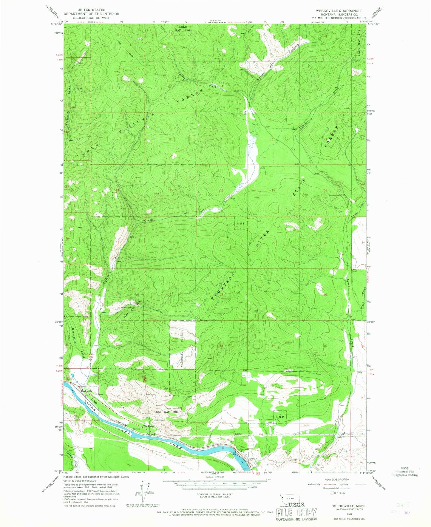
Historical USGS topographic quad map of Weeksville in the state of Montana. Map scale may vary for some years, but is generally around 1:24,000. Print size is approximately 24" x 27"
This quadrangle is in the following counties: Sanders.
The map contains contour lines, roads, rivers, towns, and lakes. Printed on high-quality waterproof paper with UV fade-resistant inks, and shipped rolled.
Contains the following named places: 20N26W03DCDA01 Well, 20N26W08BACD01 Well, 20N26W09CCBD01 Well, 20N27W01CBCD01 Well, Buffalo Bill Creek, Cedar Creek, Clark Creek, Hinchwood Creek, Smiley Creek, The Pines, Weeksville, Weeksville Creek