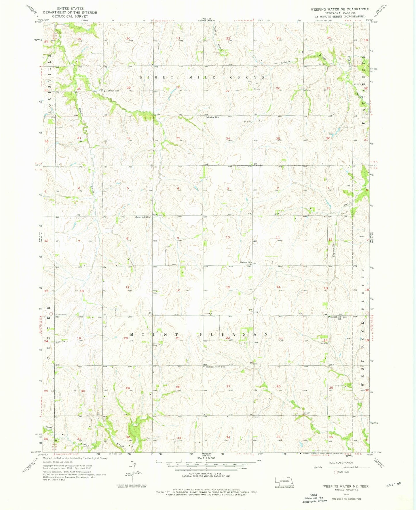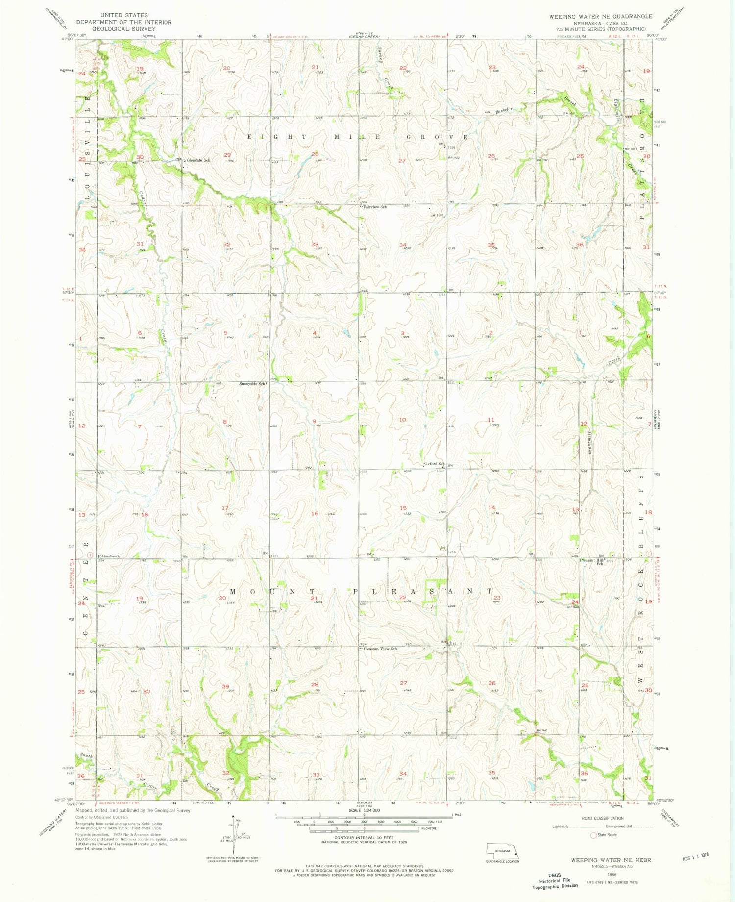
MyTopo
Classic USGS Weeping Water NE Nebraska 7.5'x7.5' Topo Map
Couldn't load pickup availability
Historical USGS topographic quad map of Weeping Water NE in the state of Nebraska. Map scale may vary for some years, but is generally around 1:24,000. Print size is approximately 24" x 27"
This quadrangle is in the following counties: Cass.
The map contains contour lines, roads, rivers, towns, and lakes. Printed on high-quality waterproof paper with UV fade-resistant inks, and shipped rolled.
Contains the following named places: Bachelor Branch, Fairview School, Glendale Post Office, Glendale School, Jameson Dam, Jameson Reservoir, Mount Pleasant Election Precinct, Oxford School, Pleasant Hill School, Pleasant View School, Sunnyside School, Township of Eight Mile Grove, Township of Mount Pleasant, Township of Plattsmouth