MyTopo
Classic USGS Weigand Reservoir Montana 7.5'x7.5' Topo Map
Regular price
$16.95
Regular price
Sale price
$16.95
Unit price
per
Couldn't load pickup availability
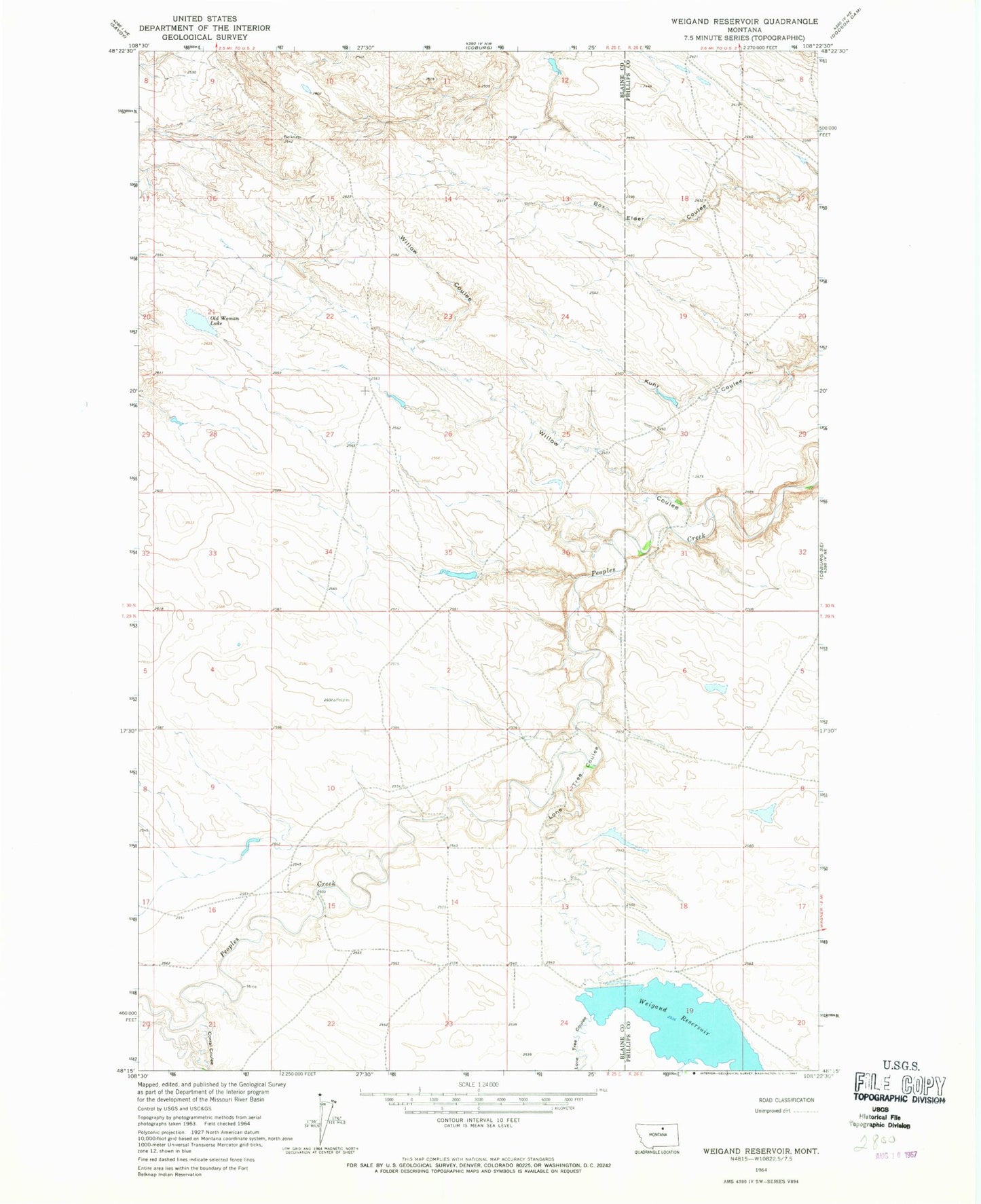
Historical USGS topographic quad map of Weigand Reservoir in the state of Montana. Map scale may vary for some years, but is generally around 1:24,000. Print size is approximately 24" x 27"
This quadrangle is in the following counties: Blaine, Phillips.
The map contains contour lines, roads, rivers, towns, and lakes. Printed on high-quality waterproof paper with UV fade-resistant inks, and shipped rolled.
Contains the following named places: 29N25E12CADA01 Well, 29N25E12DBCB01 Well, 29N25E13BDAA01 Well, 29N25E24ABD_01 Well, 29N25E24BAD_01 Well, Corral Coulee, Dodson District, Fort Belknap Number 40 Dam, Lone Tree Coulee, Old Woman Lake, Weigand Reservoir, Weigand Reservoir Dam, Willow Coulee