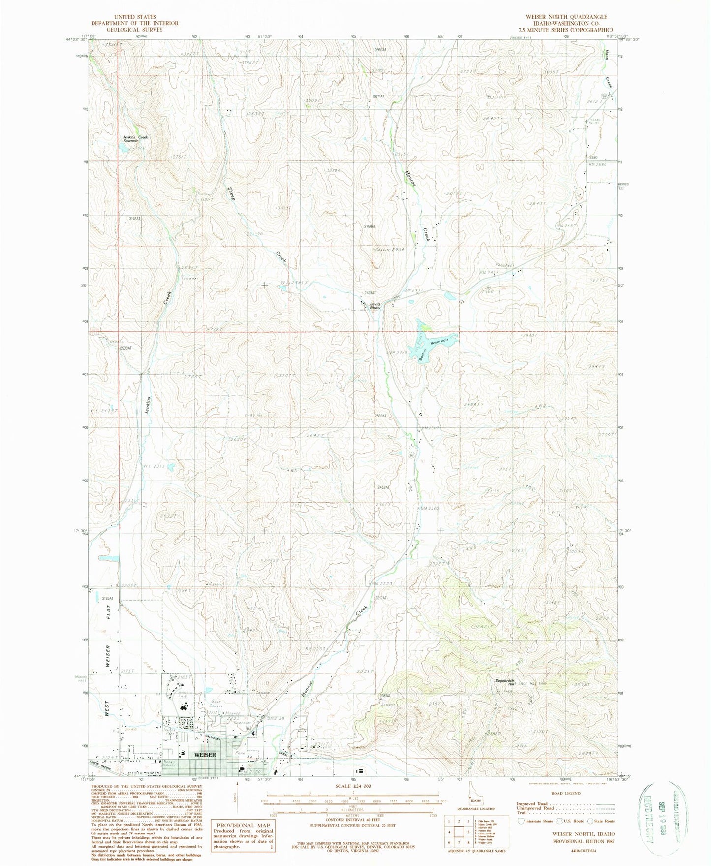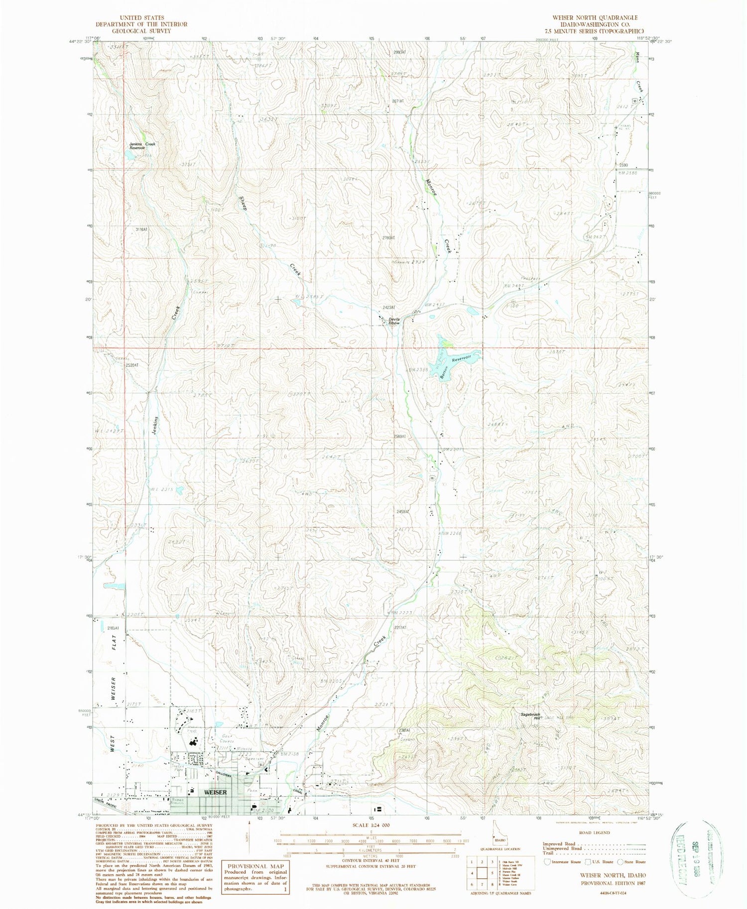
MyTopo
Classic USGS Weiser North Idaho 7.5'x7.5' Topo Map
Couldn't load pickup availability
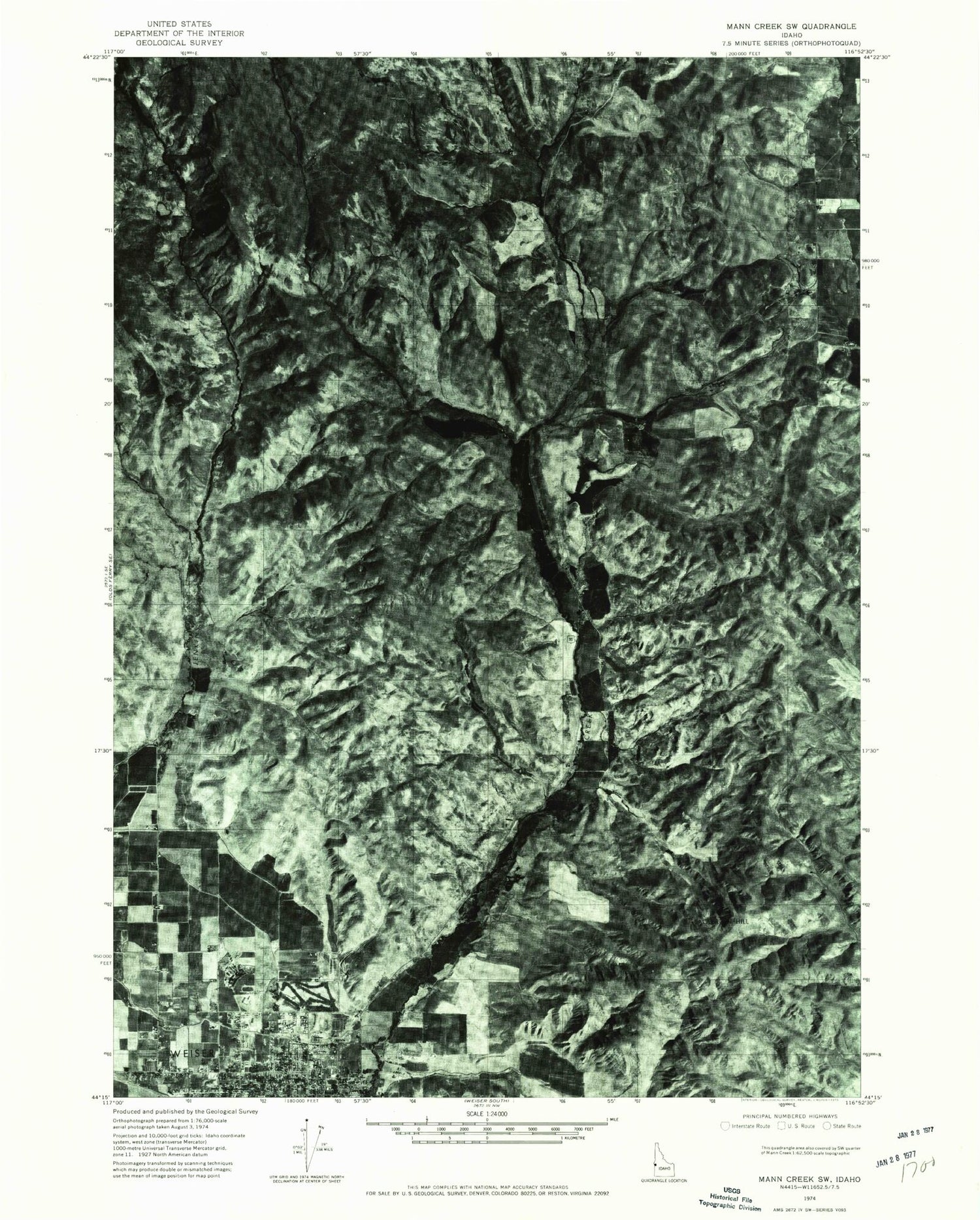
Historical USGS topographic quad map of Weiser North in the state of Idaho. Map scale may vary for some years, but is generally around 1:24,000. Print size is approximately 24" x 27"
This quadrangle is in the following counties: Washington.
The map contains contour lines, roads, rivers, towns, and lakes. Printed on high-quality waterproof paper with UV fade-resistant inks, and shipped rolled.
Contains the following named places: Barton Dam, Barton Reservoir, City of Weiser, Devils Elbow, Galloway Canal, Jenkins Creek Dam, Jenkins Creek Ranch Airport, Jenkins Creek Reservoir, Park Intermediate School, Pioneer Primary School, Sagebrush Hill, Sheep Creek, Weiser, Weiser Division, Weiser High School, Weiser Middle School, ZIP Code: 83672