MyTopo
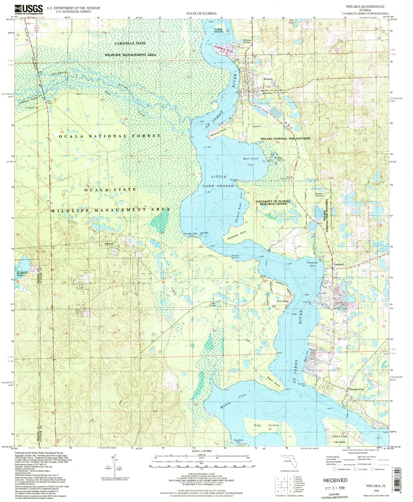
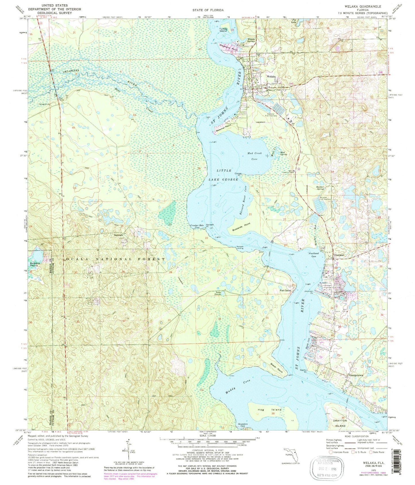
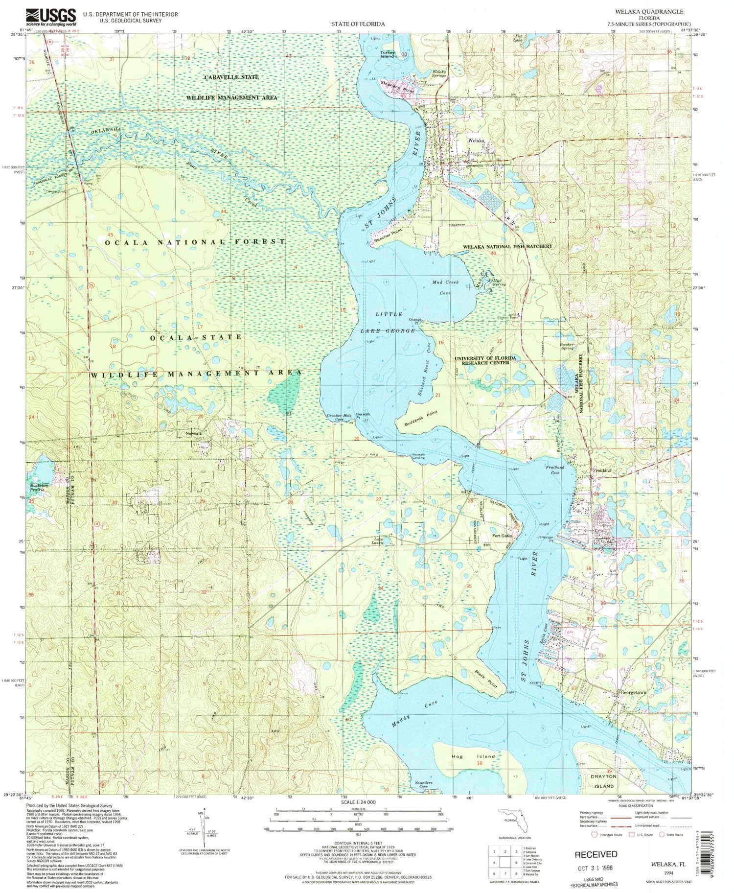
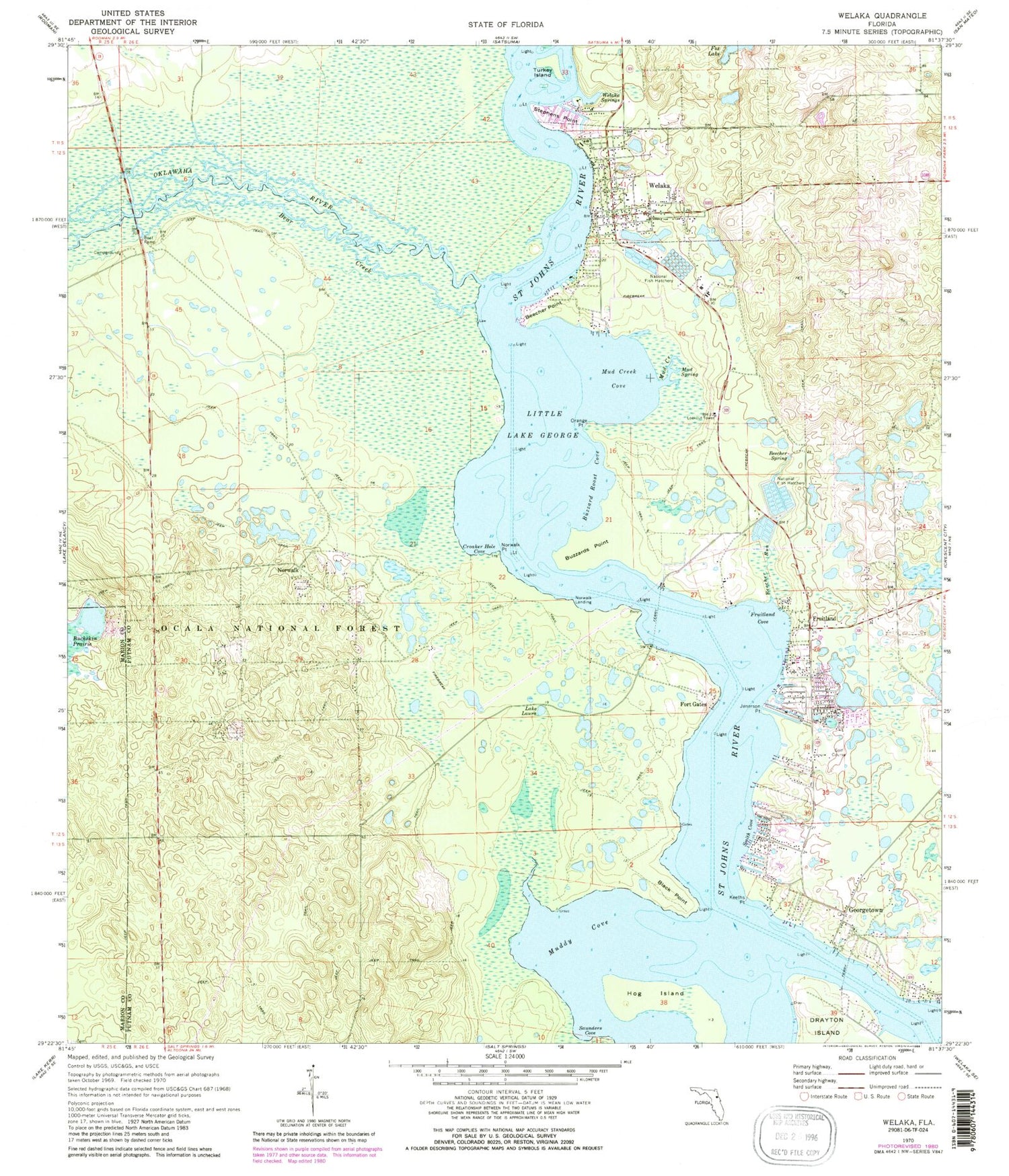
Classic USGS Welaka Florida 7.5'x7.5' Topo Map
Couldn't load pickup availability
Historical USGS topographic quad map of Welaka in the state of Florida. Typical map scale is 1:24,000, but may vary for certain years, if available. Print size: 24" x 27"
This quadrangle is in the following counties: Marion, Putnam.
The map contains contour lines, roads, rivers, towns, and lakes. Printed on high-quality waterproof paper with UV fade-resistant inks, and shipped rolled.
Contains the following named places: Bear Creek, Beecher Point, Beecher Run, Beecher Spring, Black Point, Buckskin Prairie, Buzzard Roost Cove, Buzzards Point, Croaker Hole Cove, Fort Gates, Fox Lake, Fruitland, Fruitland Cove, Georgetown, Hog Island, Jenerson Point, Keeths Point, Laura Lake, Little Lake George, Mud Creek, Mud Creek Cove, Mud Spring, Muddy Cove, Norwalk, Norwalk Landing, Norwalk Point, Orange Point, Saunders Cove, Smith Cove, Stephens Point, Turkey Island, Welaka, Welaka Springs, Welaka Tower, Johns Ferry, Juan Perchman Grant, Francis P Sanchez Grant, William Gardner Grant, E Hudnal Grant, H S Dexter Grant, S Petty Grant, Antonio J Triay Grant, Island, Johnson Field Recreation Site, Ocklawaha River, Cat Head Pond, Syracuse Island, Little Lake George Wilderness, Welaka Police Department, Salt Springs Cemetery, Town of Welaka, Welaka Baptist Church, Welaka United Methodist Church, Georgetown Marina, Woodmont Country Club, Welaka Volunteer Fire Department, Saint James African Methodist Episcopal Church, Church of God By Faith, Welaka Town Hall, Emmanuel Episcopal Church, Welaka Town Park, First Baptist Church, Georgetown Fruitland Volunteer Fire Department, Georgetown Post Office, Georgetown United Methodist Church, Georgetown Cemetery, Pleasant Grove African Methodist Episcopal Church, Mount Royal Airport, Welaka National Fish Hatchery, Welaka Post Office


