MyTopo
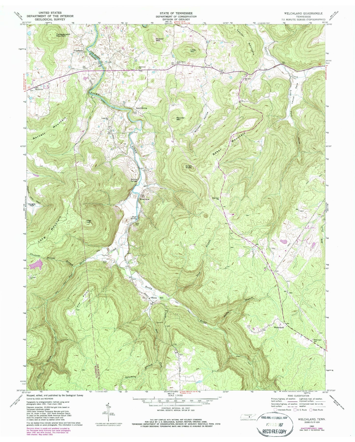
Classic USGS Welchland Tennessee 7.5'x7.5' Topo Map
Couldn't load pickup availability
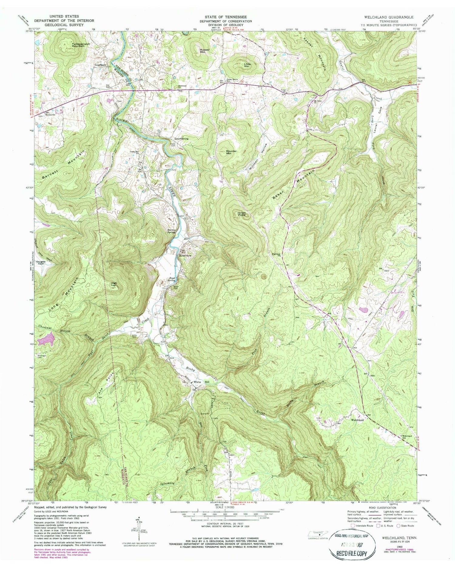
Historical USGS topographic quad map of Welchland in the state of Tennessee. Typical map scale is 1:24,000, but may vary for certain years, if available. Print size: 24" x 27"
This quadrangle is in the following counties: Van Buren, Warren.
The map contains contour lines, roads, rivers, towns, and lakes. Printed on high-quality waterproof paper with UV fade-resistant inks, and shipped rolled.
Contains the following named places: Sycamore Branch, Turkeyscratch Mountain, Welchland, Welchland School, White Hill, Ace Point, Baker Mountain, Barnett Mountain, Boyd Cemetery, Boyd Spring, Cedar Grove School, Chestnut Hollow Branch, Drake Cemetery, Dyer Gulch Creek, Eureka Church, Grove Point, Harmony Church, High Top, Highland Church, Hillis Cemetery, Keener Mountain, Laurel Cove, Little Mountain, Long Church, Long Fork Creek, Long Mountain, McGregor Cemetery, Mitchell Hollow, Moulder Mountain, Mount Elim Church, Norton Spring, Pine Branch, Rocky Branch, Russell Mountain, Boyd Brothers Lake Dam, Boyd Brothers Lake, Bee Fork, Crain Hill Church, Caneridge (historical), Cedar Grove, Dyer Gulch, Laurel Cove (historical), Sopha (historical), Goodbars, Laurelburg, Riverview, New Rocky Cemetery, Cane Ridge Church (historical), Cane Ridge School (historical), Cedar Grove Community Center, Crain Hill Cemetery, Goodbar Bridge, Harmony School (historical), Laurelburg Bridge, Long Cemetery, Rocky Branch Mine, Welchland Baptist Church, White Hill Cemetery, White Hill School (historical), Hillis (historical), Harmony, Narrow Cove, Rocky River Volunteer Fire Department, Cedar Grove Volunteer Fire Department


