MyTopo
Classic USGS Welchs Creek Kentucky 7.5'x7.5' Topo Map
Couldn't load pickup availability
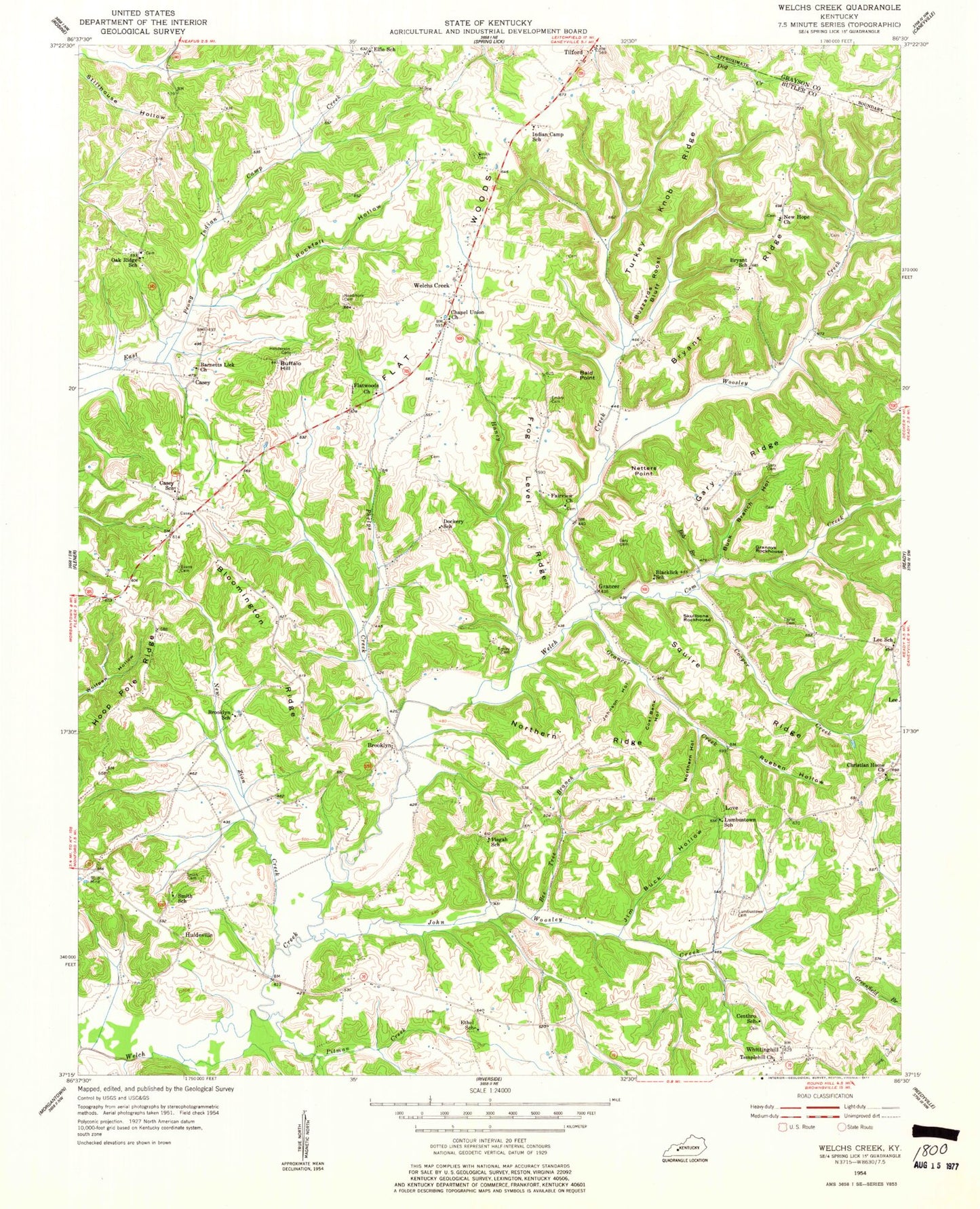
Historical USGS topographic quad map of Welchs Creek in the state of Kentucky. Map scale may vary for some years, but is generally around 1:24,000. Print size is approximately 24" x 27"
This quadrangle is in the following counties: Butler, Grayson.
The map contains contour lines, roads, rivers, towns, and lakes. Printed on high-quality waterproof paper with UV fade-resistant inks, and shipped rolled.
Contains the following named places: 4th District Volunteer Fire Station, Bald Point, Barnetts Lick Baptist Church, Bee Tree Branch, Blacklick School, Bloomington Ridge, Bob Branch, Brooklyn, Brooklyn School, Bryant Ridge, Bryant School, Buck Branch Hollow, Buffalo Hill, Buzzards Roost Bluff, Casey, Casey School, Centhro, Centhro School, Chapel Union Church, Christian Home Church, Coal Bank Hollow, Com Creek, Cooper Creek, Dockery School, Elfie, Elfie School, Embry Cemetery, Ethel School, Fairview Church, Fifth District Fire Department, Flat Woods, Flatwoods Church, Frog Level Ridge, Gary Cemetery, Gary Ridge, Grancer, Grancer Creek, Haney Fork, Harrison Fork Welch Creek, Henderson Cemetery, Hoop Pole Ridge, Huldeville, Indian Camp School, Isiah Evans Cemetery, Jetson Post Office, Jim Buck Hollow, John Woosley Creek, Johnson Hollow, Lawson Embry Cemetery, Lee School, Love, Lumbustown Cemetery, Lumbustown School, Morgan - Smith Cemetery, Needmore Cemetery, Netters Point, New Hope Church, New Zion Creek, Northern Hollow, Northern Ridge, Oak Ridge, Oak Ridge School, Phelps Creek, Pisgah School, Pitman Creek, Rockfall Hollow, Rueben Hollow, Smith Home Cemetery, Smith School, Squire Ridge, Taylor Cemetery, Temple View, Templehill Church, Tilford, Turkey Knob Ridge, Welchs Creek, Whittinghill, Woosley Creek


