MyTopo
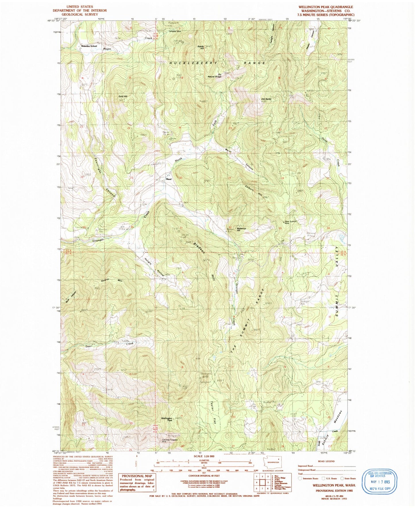
Classic USGS Wellington Peak Washington 7.5'x7.5' Topo Map
Couldn't load pickup availability
Historical USGS topographic quad map of Wellington Peak in the state of Washington. Map scale may vary for some years, but is generally around 1:24,000. Print size is approximately 24" x 27"
This quadrangle is in the following counties: Stevens.
The map contains contour lines, roads, rivers, towns, and lakes. Printed on high-quality waterproof paper with UV fade-resistant inks, and shipped rolled.
Contains the following named places: Bradeen Hill, Burnt Canyon, Buttercup Hill, Colburn Hill, Columbia Tungsten Mine, Courtright Canyon, Glendale School, Gold Hill, Goose Heaven, Hungry Hollow, Keedy Hill, Maud, North Fork Stranger Creek, Old Baldy, Quartz Mountain, Schmid Meadows, Silver Summit Mine, Stranger Creek Cemetery, Summit Valley, Taylor Flat, Tempest Mine, The Natural Bridge, The Summit Range, Waterloo, Waterloo School, Wellington Peak