MyTopo
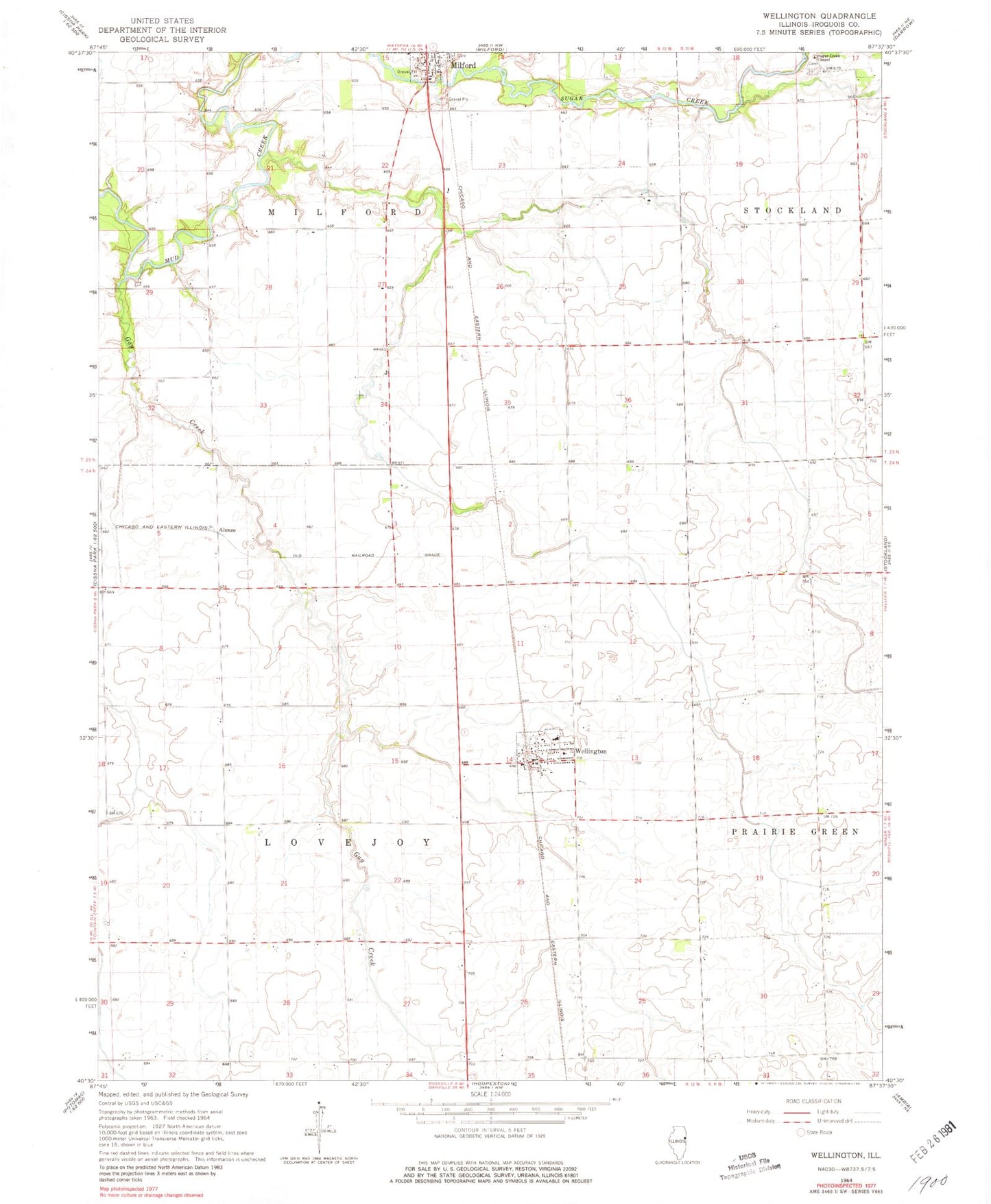
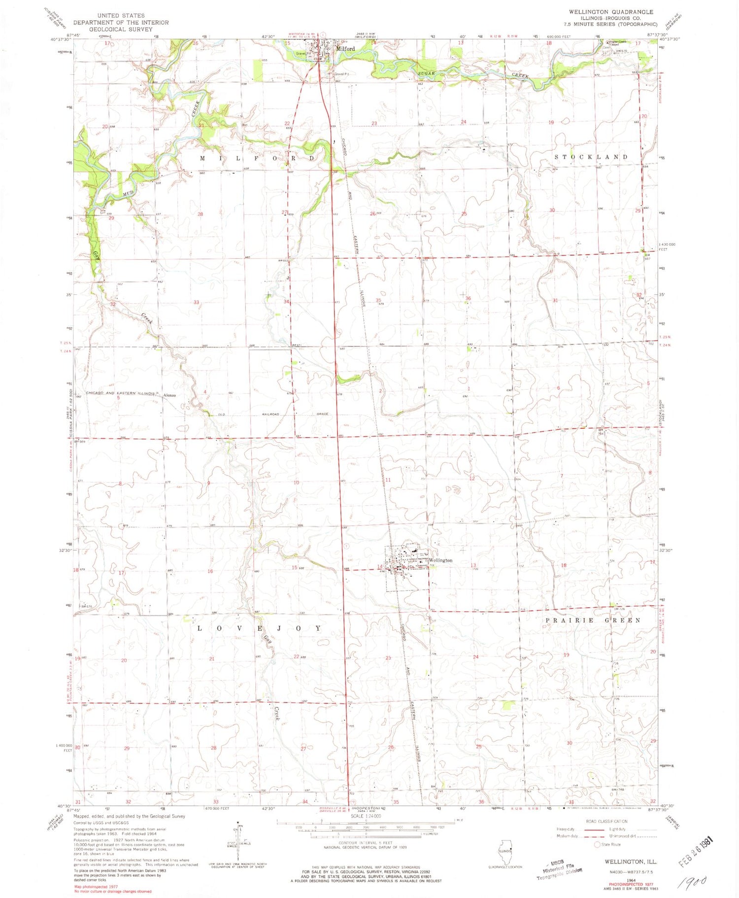
Classic USGS Wellington Illinois 7.5'x7.5' Topo Map
Couldn't load pickup availability
Historical USGS topographic quad map of Wellington in the state of Illinois. Map scale may vary for some years, but is generally around 1:24,000. Print size is approximately 24" x 27"
This quadrangle is in the following counties: Iroquois.
The map contains contour lines, roads, rivers, towns, and lakes. Printed on high-quality waterproof paper with UV fade-resistant inks, and shipped rolled.
Contains the following named places: Adsit Farms, Alonzo, Ard Farms, Carlson Farms, Chapman School, Cherry Grove School, Cissna Junction, College Center School, Crawford Farm, Evans School, Fairview School, Flag Farm, Freeland Junction, Gay Creek, Gay Creek School, Lamont School, Milford Fire Protection District, Milquois Farm, Morts Farms, New Gothic School, Old Milford Cemetery, Pleasant Valley School, Sugar Creek Cemetery, Sugar Creek Chapel, Township of Lovejoy, Victor School, Village of Wellington, Wellington, Wellington - Greer Fire Protection District, Wellington High School, Wellington Post Office, White School, ZIP Code: 60973