MyTopo
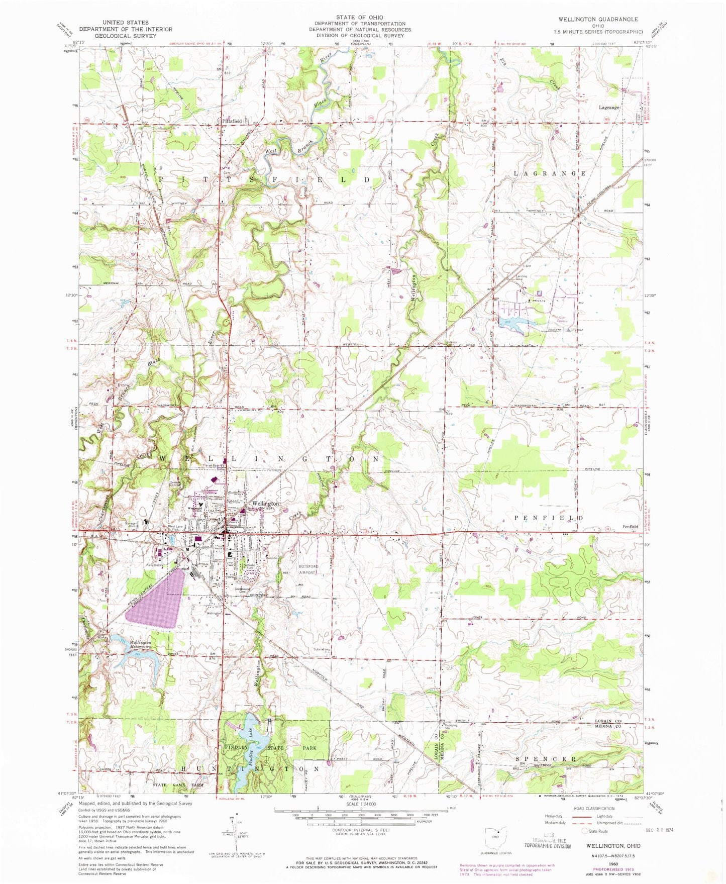
Classic USGS Wellington Ohio 7.5'x7.5' Topo Map
Couldn't load pickup availability
Historical USGS topographic quad map of Wellington in the state of Ohio. Map scale may vary for some years, but is generally around 1:24,000. Print size is approximately 24" x 27"
This quadrangle is in the following counties: Lorain, Medina.
The map contains contour lines, roads, rivers, towns, and lakes. Printed on high-quality waterproof paper with UV fade-resistant inks, and shipped rolled.
Contains the following named places: Brookside Mobile Home Park, Charlemont Creek, Church of Christ, Church of the Nazarene, East Cemetery, Findley Lake, Findley Lake Dam, Findley State Park, First Baptist Church, First Congregational Church, Greenwood Cemetery, Jackson Cemetery, La Grange Cemetery, Lorain County Fairgrounds, McCormick Elementary School, New Life Assembly of God Church, Pheasant Run Airport, Pheasant Run Census Designated Place, Pheasant Run Village, Pioneer Cemetery, Pittsfield, Pittsfield Post Office, Pittsfield United Church, Ponderosa Pines Lake, Ponderosa Pines Lake Dam, Reader-Botsford Airport, Saint Patricks Church, Smith's Mobile Home Park, South Lorain County Ambulance, South Pittsfield Cemetery, Township of Pittsfield, Township of Wellington, Village of Wellington, Wellington, Wellington Center Historic District, Wellington Community Fire District, Wellington Community Fire District Station 1, Wellington Community Hospital, Wellington Community Hospital Heliport, Wellington High School, Wellington Historic District, Wellington Mobile Home Park, Wellington Police Department, Wellington Post Office, Wellington Reservoir Number Two, Wellington Reservoir Number Two Dam, Wellington Reservoirs, Wellington Upground Reservoir, Wellington Upground Reservoir Dam, West Lake Park, Westwood Elementary School, ZIP Codes: 44050, 44090