
MyTopo
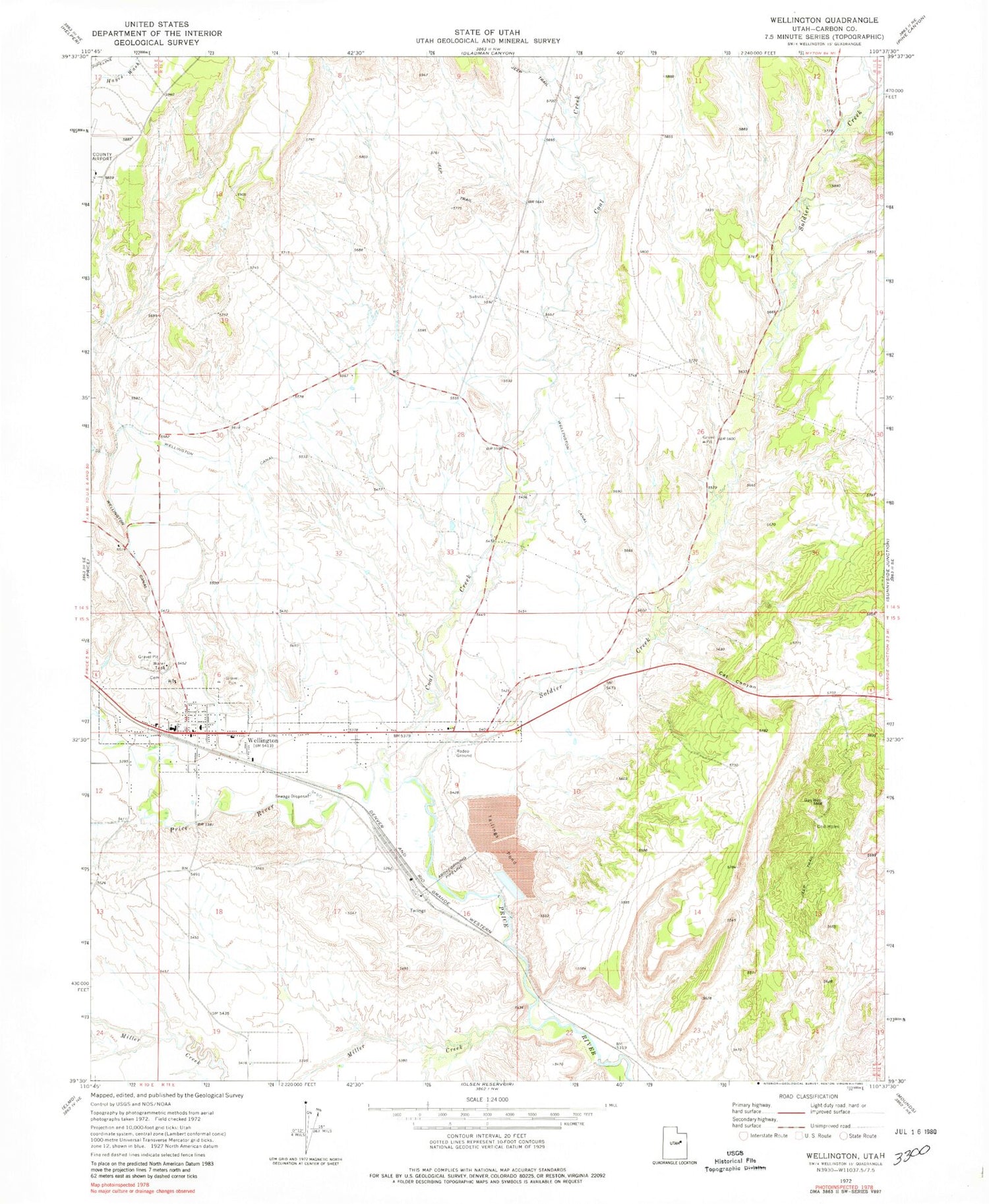
Classic USGS Wellington Utah 7.5'x7.5' Topo Map
Couldn't load pickup availability
Historical USGS topographic quad map of Wellington in the state of Utah. Map scale may vary for some years, but is generally around 1:24,000. Print size is approximately 24" x 27"
This quadrangle is in the following counties: Carbon.
The map contains contour lines, roads, rivers, towns, and lakes. Printed on high-quality waterproof paper with UV fade-resistant inks, and shipped rolled.
Contains the following named places: Castle Valley, Cat Canyon, City of Wellington, Coal Creek, First Baptist Church, Hillview RV Park Campground, Miller Creek, Soldier Creek, The Church of Jesus Christ of Latter Day Saints, U S Steel Corp Storage Dam, U S Steel Corp Storage Reservoir, Wellington, Wellington Canal, Wellington City Cemetery, Wellington Elementary School, Wellington Police Department, Wellington Post Office, Wellington Volunteer Fire Department, ZIP Code: 84542


