MyTopo
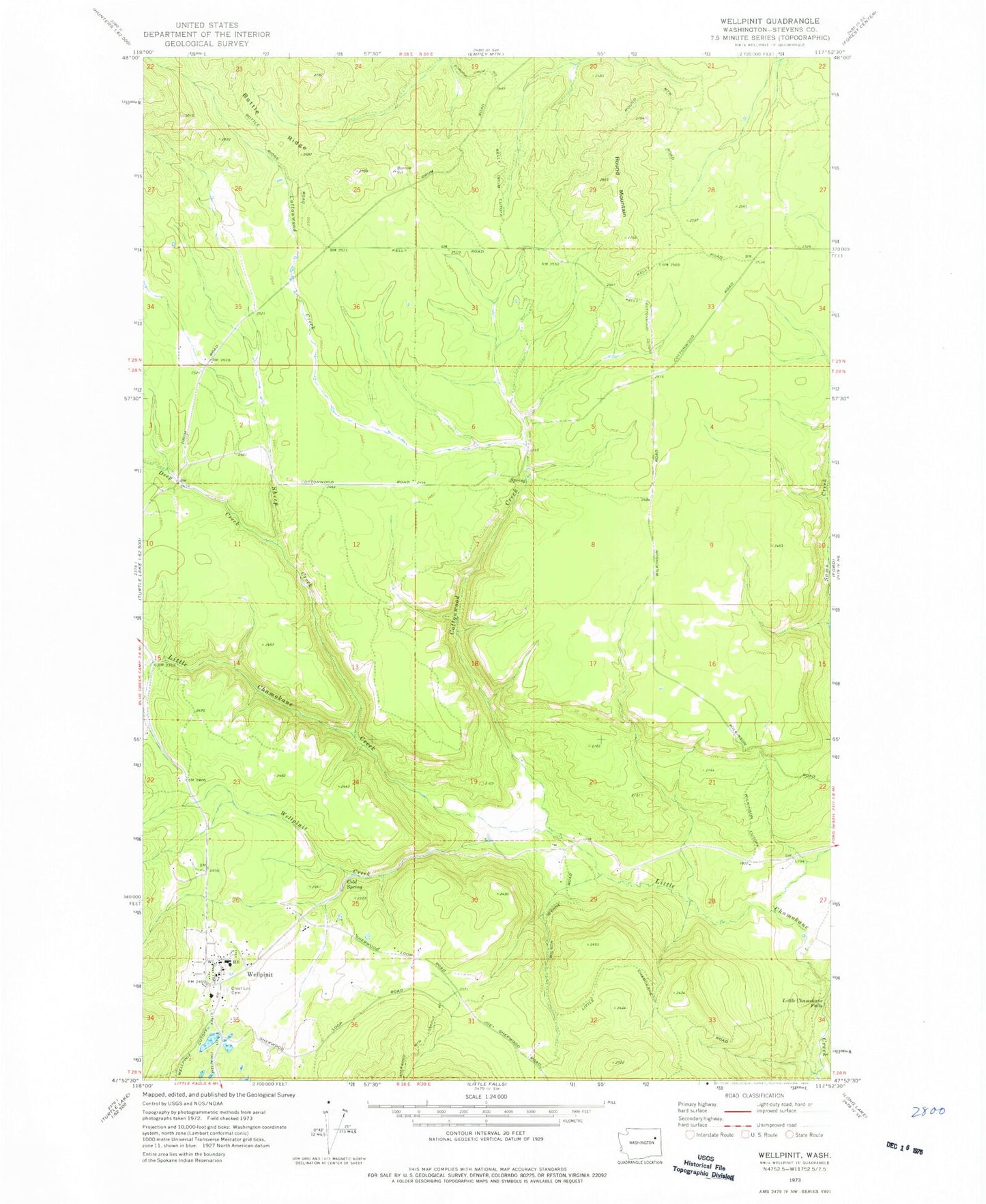
Classic USGS Wellpinit Washington 7.5'x7.5' Topo Map
Couldn't load pickup availability
Historical USGS topographic quad map of Wellpinit in the state of Washington. Map scale may vary for some years, but is generally around 1:24,000. Print size is approximately 24" x 27"
This quadrangle is in the following counties: Stevens.
The map contains contour lines, roads, rivers, towns, and lakes. Printed on high-quality waterproof paper with UV fade-resistant inks, and shipped rolled.
Contains the following named places: Bottle Ridge, Chief Lot Cemetery, Cottonwood Creek, Deep Creek, Little Chamokane Falls, Round Mountain, Sams Creek, Sheep Creek, Spokane Tribal Ambulance, Spokane Tribal Fire Department, Spokane Tribe of Indians Child Care Center, Wellpinit, Wellpinit Census Designated Place, Wellpinit Creek, Wellpinit High School, Wellpinit Police Department, Wellpinit Sanitation and Maintenance Wastewater Treatment Plant, Willipit Post Office