MyTopo
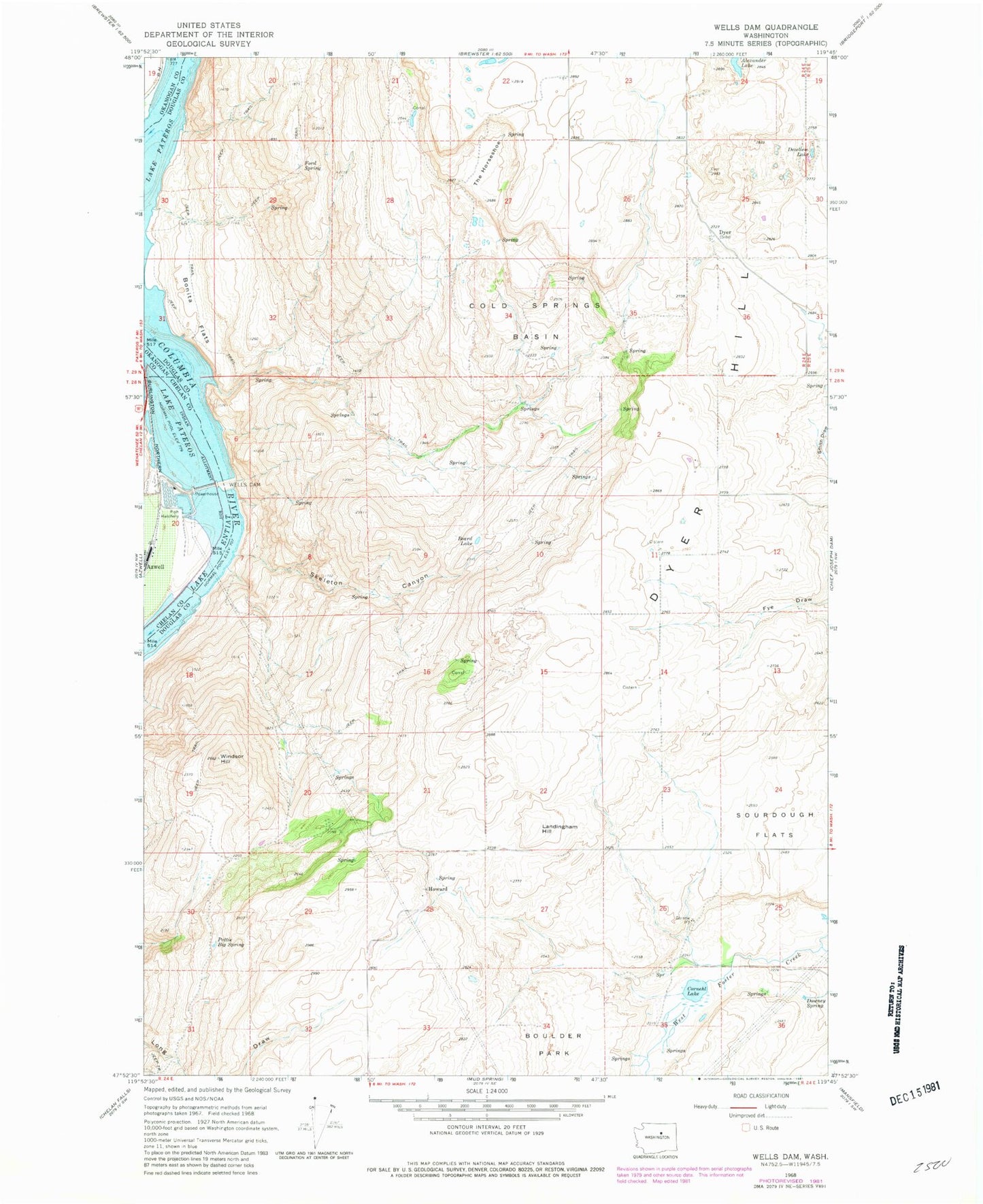
Classic USGS Wells Dam Washington 7.5'x7.5' Topo Map
Regular price
$16.95
Regular price
Sale price
$16.95
Unit price
per
Couldn't load pickup availability
Historical USGS topographic quad map of Wells Dam in the state of Washington. Map scale may vary for some years, but is generally around 1:24,000. Print size is approximately 24" x 27"
This quadrangle is in the following counties: Chelan, Douglas, Okanogan.
The map contains contour lines, roads, rivers, towns, and lakes. Printed on high-quality waterproof paper with UV fade-resistant inks, and shipped rolled.
Contains the following named places: Beard Lake, Bonita, Bonita Flats, Boulder Park, Cold Springs Basin, Cornehl Lake, Dezellem Lake, Downey Spring, Dyer, Dyer Hill, Ford Spring, Howard, Landingham Hill, Pattie Big Spring, Skeleton Canyon, Sourdough Flats, The Horseshoe, Wells Dam, Windsor Hill