MyTopo
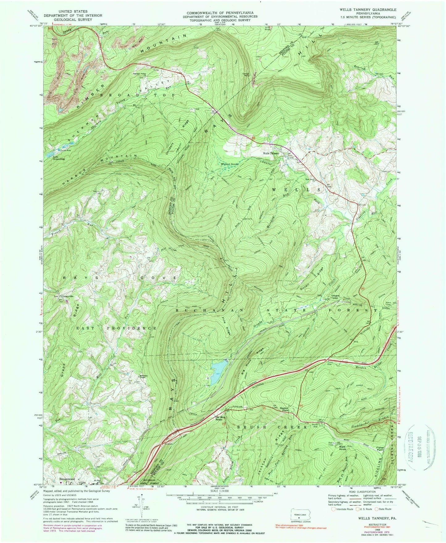
Classic USGS Wells Tannery Pennsylvania 7.5'x7.5' Topo Map
Couldn't load pickup availability
Historical USGS topographic quad map of Wells Tannery in the state of Pennsylvania. Typical map scale is 1:24,000, but may vary for certain years, if available. Print size: 24" x 27"
This quadrangle is in the following counties: Bedford, Fulton.
The map contains contour lines, roads, rivers, towns, and lakes. Printed on high-quality waterproof paper with UV fade-resistant inks, and shipped rolled.
Contains the following named places: Sideling Hill, Bald Knob, Big Fill Trail, Big Wood Ridge, Childers Ridge, Cornelius Trail, Duvall Ridge, Duvall Trail, Fisher Point, Garlick Mine, Graceville, Grape Ridge, Lake Groundhog, Harbor Mountain, Horton Jeep Trail, Huckleberry Trail, Jackson Ridge, Jerry Trail, Kimber Mountain, Laidig Spring Trail, Laurel Fork, Meredith Run, Meredith Trail, Moseby Trail, Mount Zion Church, Mountain Chapel, Oregon Camp, Oregon Creek, Pine Grove Church, Pine Ridge, Rays Hill Tunnel, Red Bank Trail, Sherman Valley Church, Shortys Place, Snowfield Trail, Sproat Trail, Tower Trail, Waterflat Trail, Wells Tannery, Wishart Swamp, Prop Trail, Sideling Hill Tunnel, Pa-32 Dam, Valley-Hi Eagle Lake, Sandy Run, Jerkwater, Valley-Hi, Union School (historical), Mountain School (historical), Warsing School (historical), Pine Grove School, Bills Place (historical), Budds Place, Beaverdam Pond, Old Mountain House, Sandy Run School (historical), Childers Ridge Trail, Glendale, Township of Wells, Borough of Valley-Hi, Breezewood Volunteer Fire Department - Station 40, Pennsylvania Conservation and Natural Resources District 2 Buchanan Sideling Hill Trail, Graceville Lutheran Church Cemetery, Hinish Cemetery, Mount Zion Lutheran Church Cemetery, Mountain Chapel Church Cemetery, Shermans Valley Church Graveyard, Wells Tannery Post Office


