MyTopo
Classic USGS Wellston Oklahoma 7.5'x7.5' Topo Map
Couldn't load pickup availability
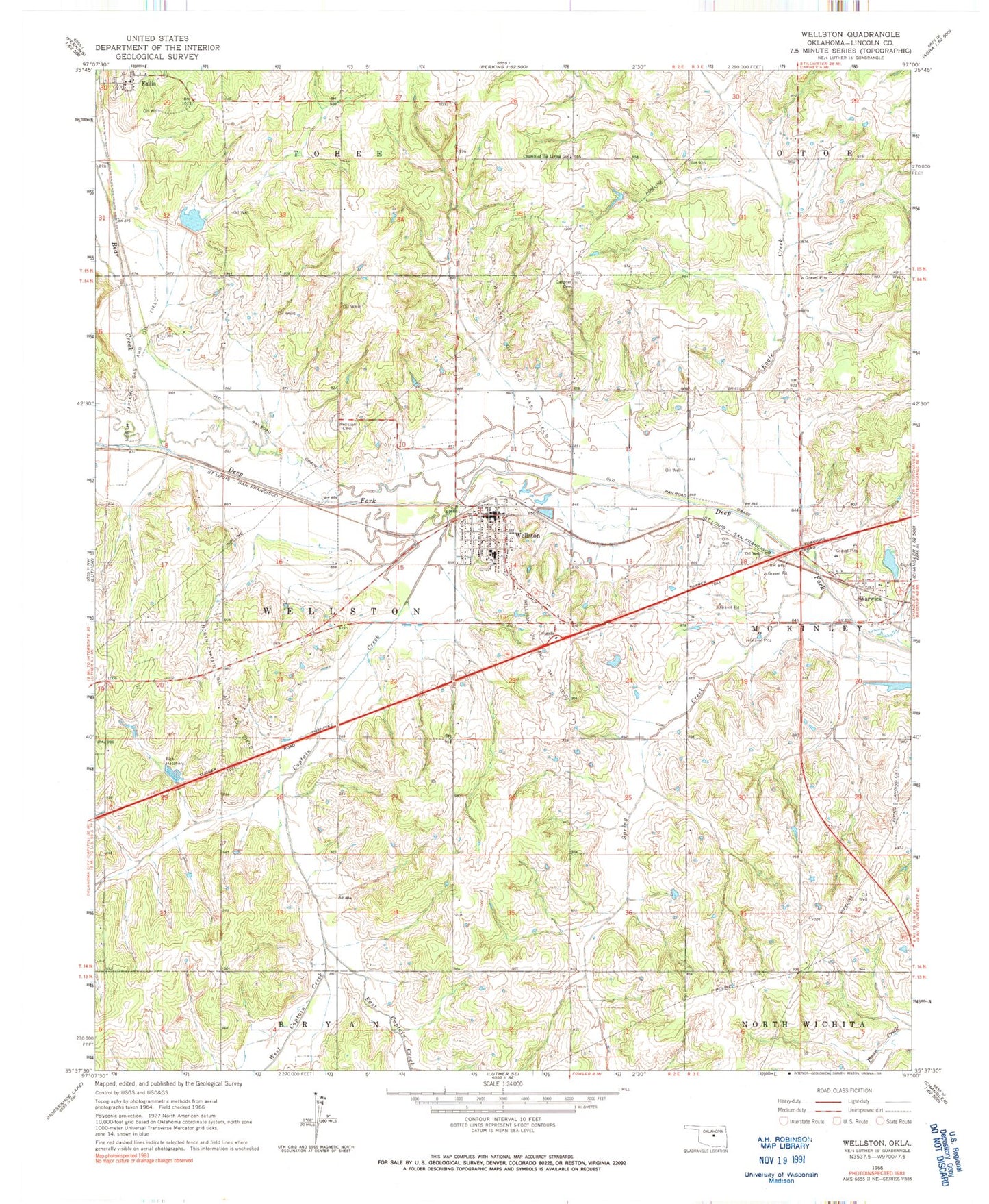
Historical USGS topographic quad map of Wellston in the state of Oklahoma. Map scale may vary for some years, but is generally around 1:24,000. Print size is approximately 24" x 27"
This quadrangle is in the following counties: Lincoln.
The map contains contour lines, roads, rivers, towns, and lakes. Printed on high-quality waterproof paper with UV fade-resistant inks, and shipped rolled.
Contains the following named places: Bear Creek, Bear Fall Coon Creek Site 1 Dam, Bear Fall Coon Creek Site 1 Reservoir, Biggs Skypatch Airport, Captain Creek, Church of the Living God, Eagle Creek, East Captain Creek, Fallis, Fallis Fire Department, Gardner Cemetery, Ingram, North Captain Oil and Gas Field, Saint Pauls Lutheran Church, Spring Creek, Town of Fallis, Town of Warwick, Town of Wellston, Township of Wellston, Warwick, Wellston, Wellston Ambulance Service, Wellston Cemetery, Wellston Division, Wellston Elementary School, Wellston Fire Department Main Station, Wellston Fire Department Substation, Wellston High School, Wellston Middle School, Wellston Oil and Gas Field, Wellston Police Department, Wellston Post Office, West Captain Creek, ZIP Code: 74881