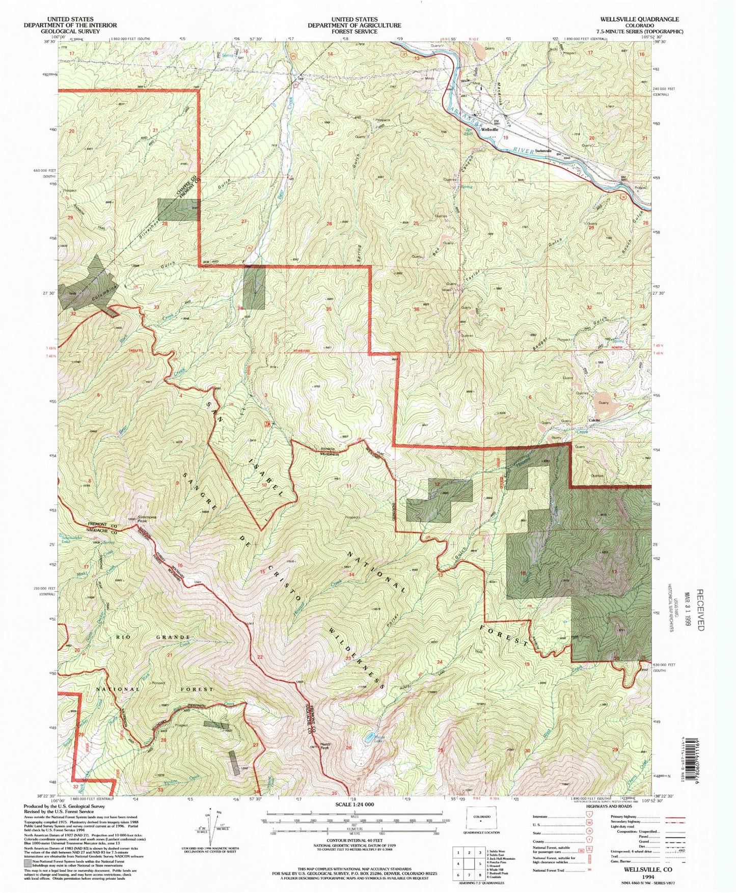
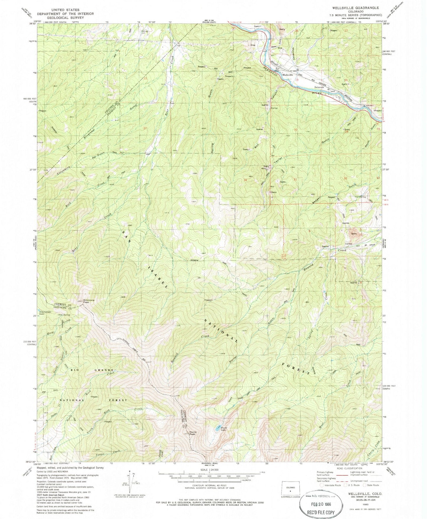
MyTopo
Classic USGS Wellsville Colorado 7.5'x7.5' Topo Map
Couldn't load pickup availability
Historical USGS topographic quad map of Wellsville in the state of Colorado. Typical map scale is 1:24,000, but may vary for certain years, if available. Print size: 24" x 27"
This quadrangle is in the following counties: Chaffee, Fremont, Saguache.
The map contains contour lines, roads, rivers, towns, and lakes. Printed on high-quality waterproof paper with UV fade-resistant inks, and shipped rolled.
Contains the following named places: Maverick Gulch, Wells Gulch, Hunts Lake Trail, Hunts Lake, Hunts Peak, Spring Creek, Box Canyon, Columbine Gulch, Taylor Gulch, Porter Gulch, Calcite, Rouch Gulch, Swissvale, Wellsville, Salamander Lake, Simmons Peak, Spring Gulch, Rock Creek, Silverheels Gulch, Florence Quarry, Thunder Mountain Quarry, Box Canyon Quarry, Swissvale Quarry, Taylor Gulch Quarry, Wellsville Warm Spring, Southmost Group Mine, Swissvale Warm Springs, Amy North Ditch, Amy South Ditch