MyTopo
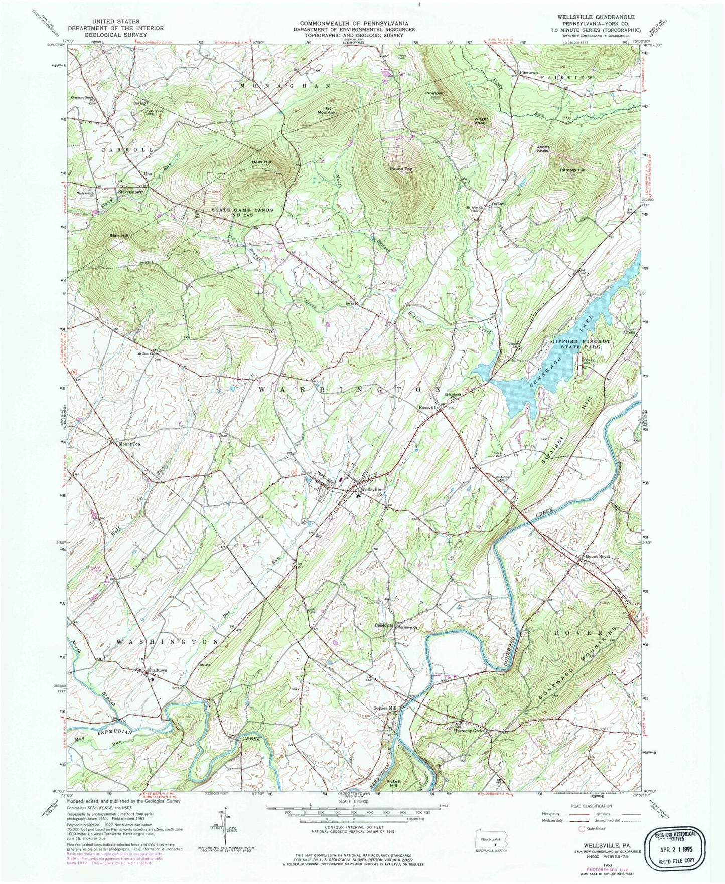
Classic USGS Wellsville Pennsylvania 7.5'x7.5' Topo Map
Couldn't load pickup availability
Historical USGS topographic quad map of Wellsville in the state of Pennsylvania. Typical map scale is 1:24,000, but may vary for certain years, if available. Print size: 24" x 27"
This quadrangle is in the following counties: York.
The map contains contour lines, roads, rivers, towns, and lakes. Printed on high-quality waterproof paper with UV fade-resistant inks, and shipped rolled.
Contains the following named places: Blair Hill, Chestnut Grove Church, Detters Mill, Flat Mountain, Fortney, Gifford Pinchot State Park, Harmony Grove, Johns Knob, Kralltown, Mount Airy Church, Mount Oliver Church, Mount Royal, Mount Zion Church, Mud Run, Myers Cemetery, Nells Hill, North Branch Beaver Creek, North Branch Bermudian Creek, Pickett Hill, Pinetown Hill, Ramsey Hill, Rocky Spring Camp, Roseville, Round Top, Saint Johns Church, Saint Michaels Church, Salem Evangelical Cemetery, Stevenstown, Straight Hill, Victory Church, Walgamuth Church, Wellsville, Wright Knob, Bermudian Creek, Pinchot Lake, State Game Lands Number 242, Kampel Airport, Shreveport North Airport, Doe Run, Balanced Rock, Old Toboggan Run Rocks, Benedicts, Mount Top, Pinetown, Uno, Ski Roundtop Ski Area, Boulder Point, Porters School, Big Rock School, Quaker Meetinghouse (historical), Salem Church (historical), Fortney P O (historical), Mount Airy, Elcock Schoolhouse, Minebank Schoolhouse (historical), Roler, Shafer Schoolhouse, Hall P O (historical), Mount Pleasant Schoolhouse, Weaver Schoolhouse, Borough of Wellsville, Township of Warrington, Township of Washington, Carroll Township Police Department, Wellsville Fire Company Station 66, Wellsville Post Office, Rossville Post Office, Carroll Township Police Department


