MyTopo
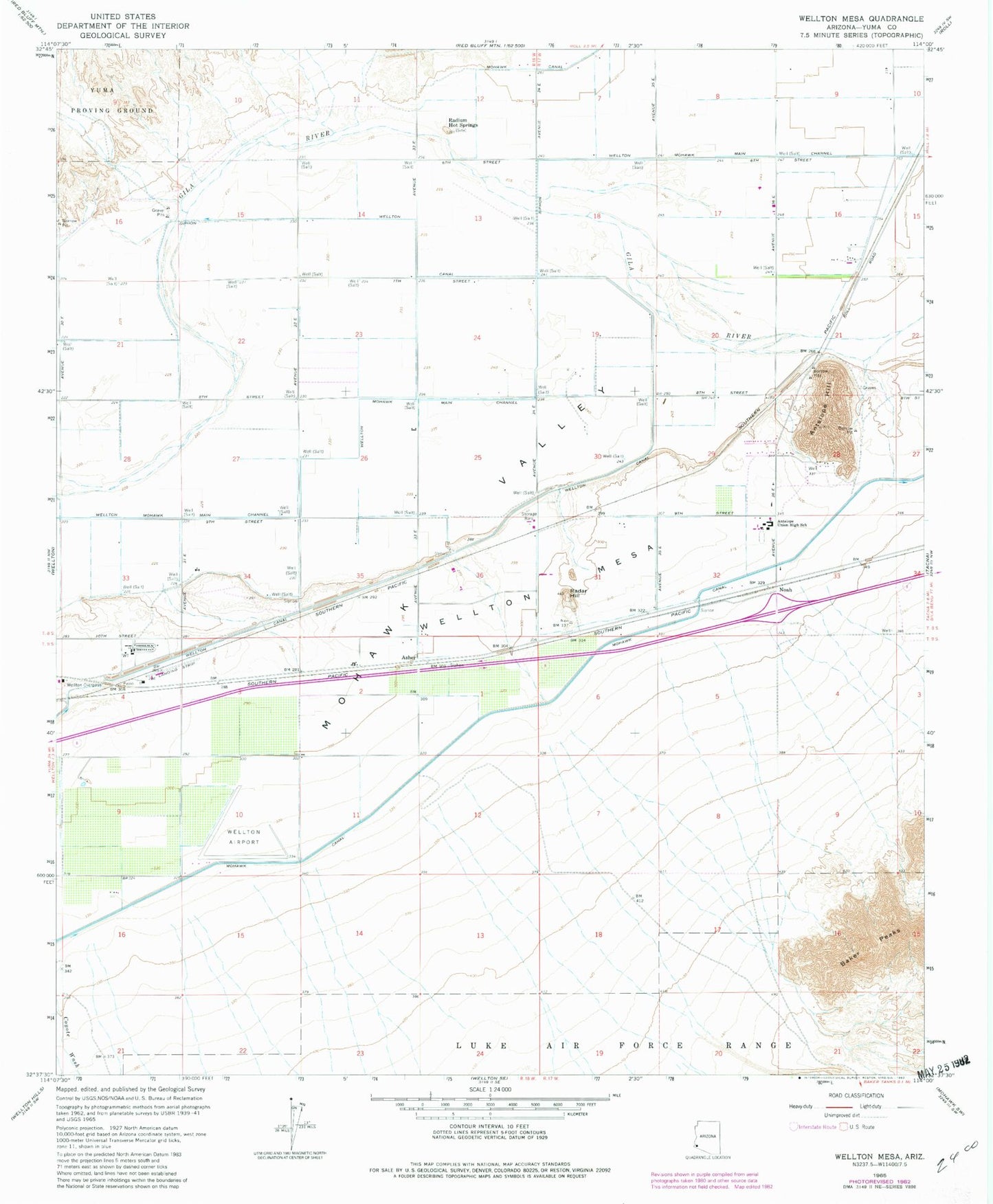
Classic USGS Wellton Mesa Arizona 7.5'x7.5' Topo Map
Couldn't load pickup availability
Historical USGS topographic quad map of Wellton Mesa in the state of Arizona. Map scale may vary for some years, but is generally around 1:24,000. Print size is approximately 24" x 27"
This quadrangle is in the following counties: Yuma.
The map contains contour lines, roads, rivers, towns, and lakes. Printed on high-quality waterproof paper with UV fade-resistant inks, and shipped rolled.
Contains the following named places: Antelope Hill, Antelope Ranch Airport, Antelope Union High School, Asher, Copper Mountain Landfill, Filibusters Camp, Gypsum Mine, Mohawk 6.3 Lateral, Mohawk 6.9 Lateral, Mohawk 7.9 Lateral, Mohawk 8.5 Lateral, Mohawk 9.1 Lateral, Mohawk 9.8 Lateral, Noah, Radar Hill, Radium Hot Springs, Saint Joseph the Worker Catholic Church, Wellton Airport, Wellton Canal, Wellton Lateral 7.7, Wellton Mesa, Wellton Overpass


