MyTopo
Classic USGS Welsh North Louisiana 7.5'x7.5' Topo Map
Regular price
$16.95
Regular price
Sale price
$16.95
Unit price
per
Couldn't load pickup availability
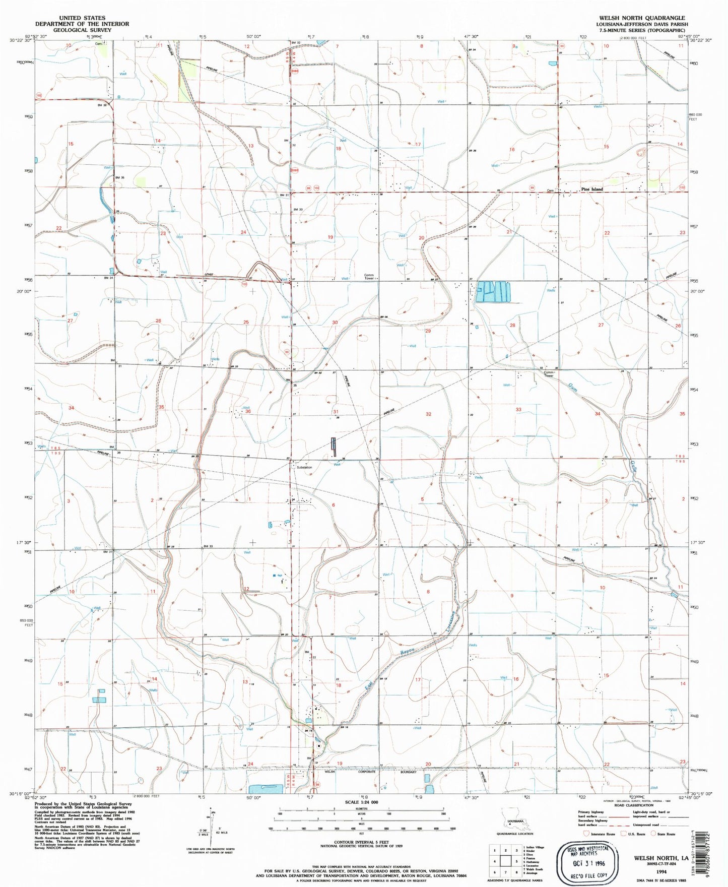
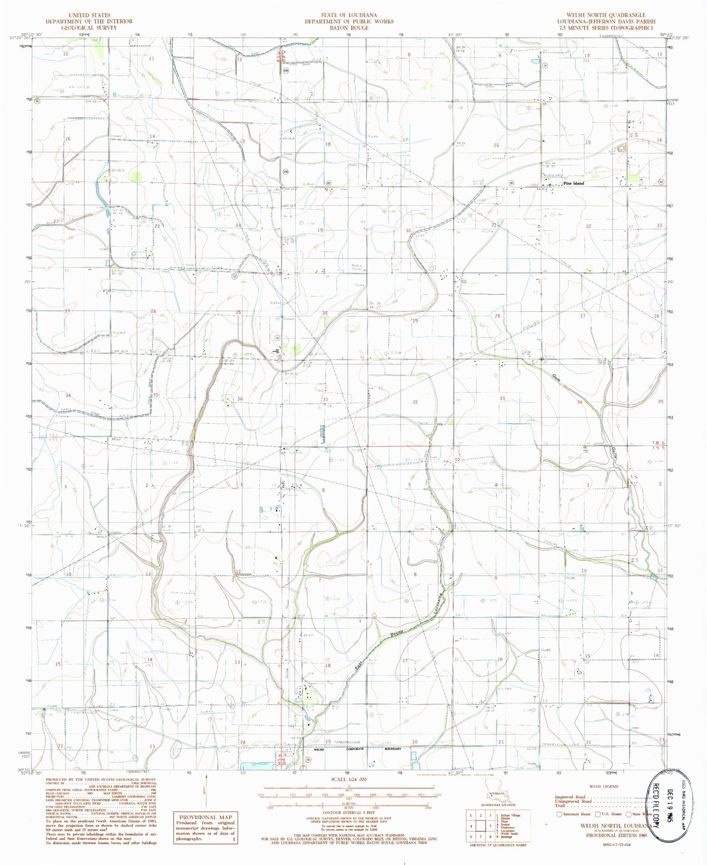
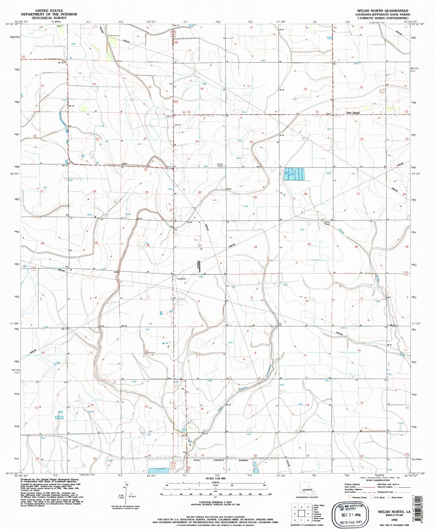
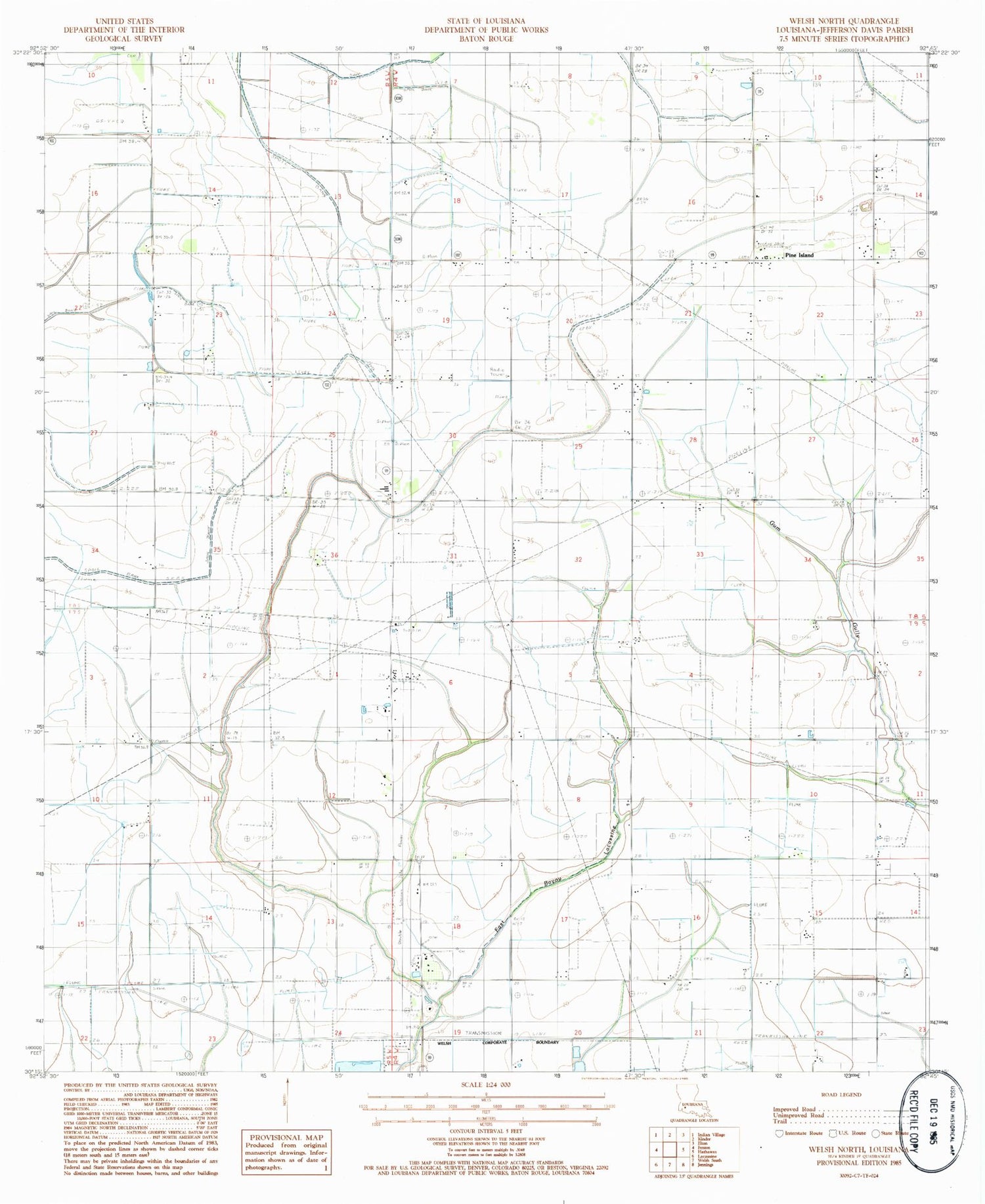
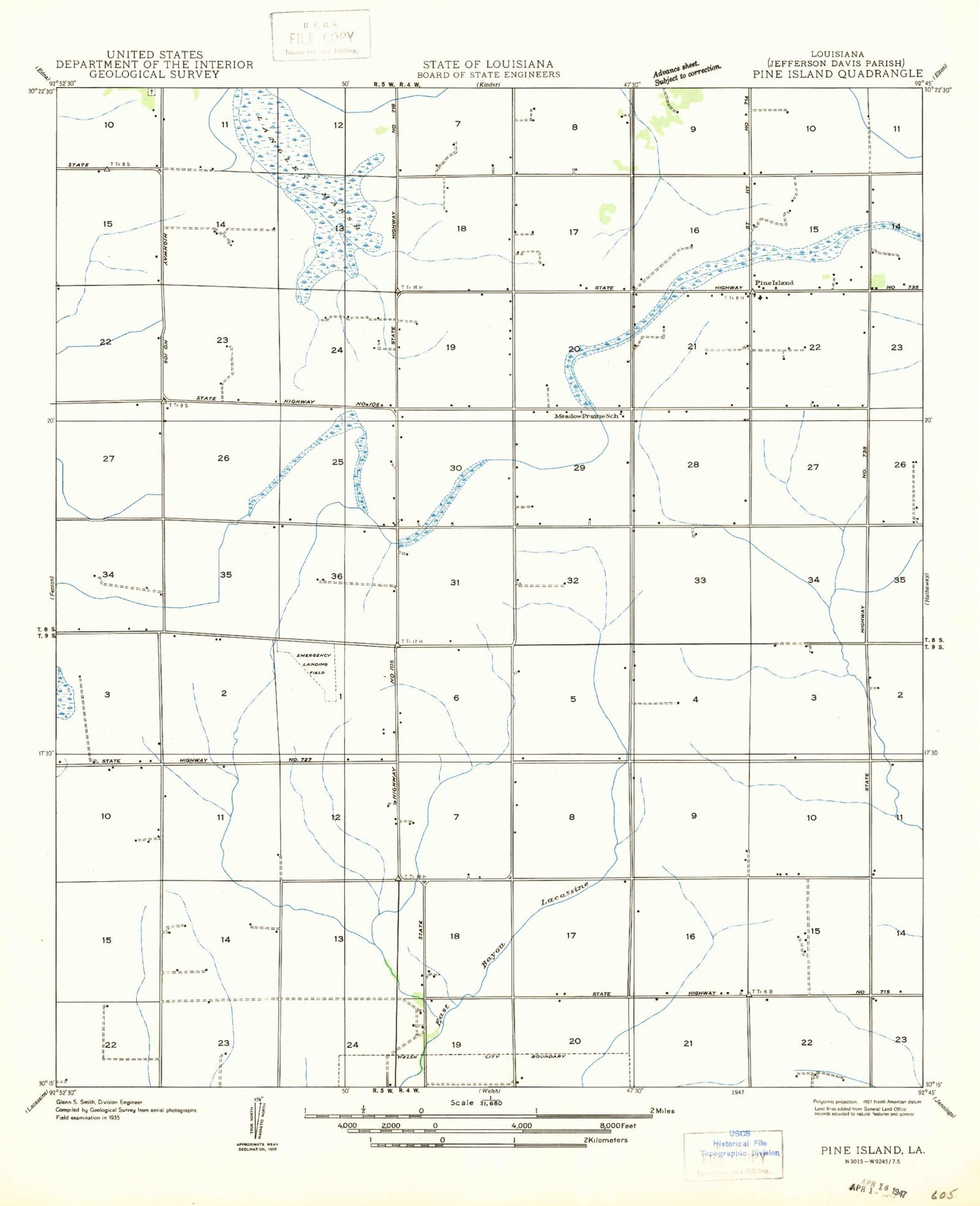
Historical USGS topographic quad map of Welsh North in the state of Louisiana. Map scale may vary for some years, but is generally around 1:24,000. Print size is approximately 24" x 27"
This quadrangle is in the following counties: Jefferson Davis.
The map contains contour lines, roads, rivers, towns, and lakes. Printed on high-quality waterproof paper with UV fade-resistant inks, and shipped rolled.
Contains the following named places: Jefferson Davis Parish, North Welsh Gas Field, Parish Governing Authority District 12, Pine Island, Ward Five, ZIP Code: 70591