MyTopo
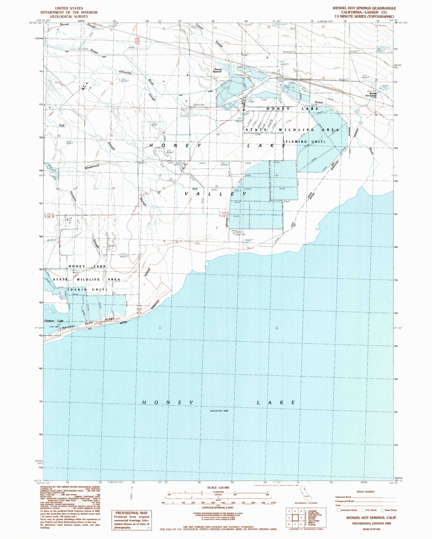
Classic USGS Wendel Hot Springs California 7.5'x7.5' Topo Map
Regular price
$16.95
Regular price
Sale price
$16.95
Unit price
per
Couldn't load pickup availability
Historical USGS topographic quad map of Wendel Hot Springs in the state of California. Map scale may vary for some years, but is generally around 1:24,000. Print size is approximately 24" x 27"
This quadrangle is in the following counties: Lassen.
The map contains contour lines, roads, rivers, towns, and lakes. Printed on high-quality waterproof paper with UV fade-resistant inks, and shipped rolled.
Contains the following named places: Dill Slough, Fleming Reservoir, Gilhooley Slough, Hartson Slough, Honey Lake State Wildlife Area, Honey Lake Waterfowl Management Area, Susan River, Tanner Slough, Tule Canal, Wendel Hot Springs, Whitehead Slough