MyTopo
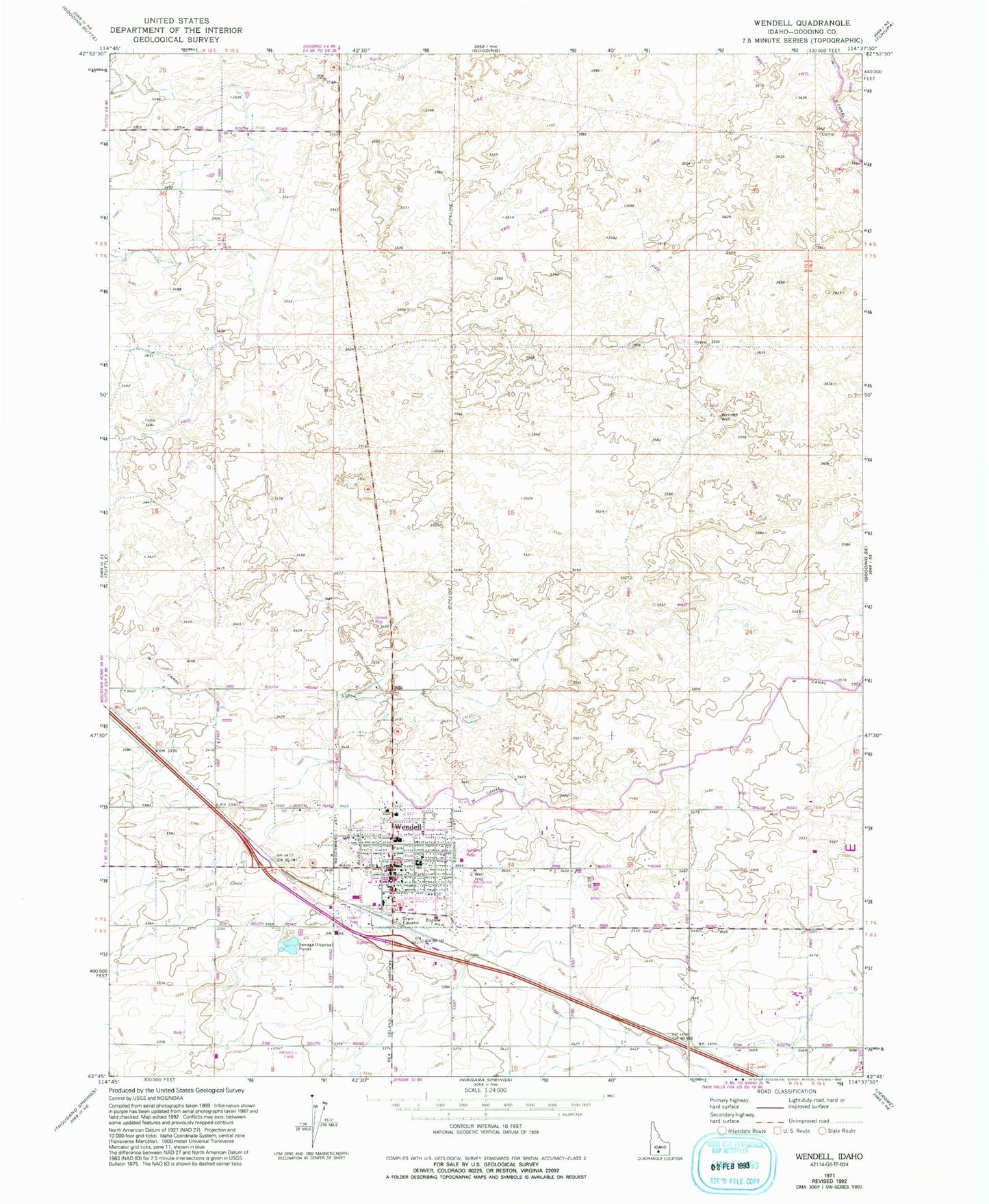
Classic USGS Wendell Idaho 7.5'x7.5' Topo Map
Couldn't load pickup availability
Historical USGS topographic quad map of Wendell in the state of Idaho. Map scale may vary for some years, but is generally around 1:24,000. Print size is approximately 24" x 27"
This quadrangle is in the following counties: Gooding.
The map contains contour lines, roads, rivers, towns, and lakes. Printed on high-quality waterproof paper with UV fade-resistant inks, and shipped rolled.
Contains the following named places: City of Wendell, Lateral S-12, Lateral S-2, Lateral S-33, Lateral W-19, Lateral W-20, Lateral W-3, Lateral W-33, Lateral W-53, Lateral W-7, Lateral W-9, Lateral X-1, Lateral X-3, Lateral X-31, Lateral X-7, McGinnis Park, W Canal, Wendell, Wendell Cemetery, Wendell Division, Wendell Elementary School, Wendell High School, Wendell Middle School, Wendell Physical Education Building, Wendell Police Department, Wendell Post Office, Wendell Rural Fire District / Wendell City Fire Department, Wendell Well, ZIP Code: 83355