MyTopo
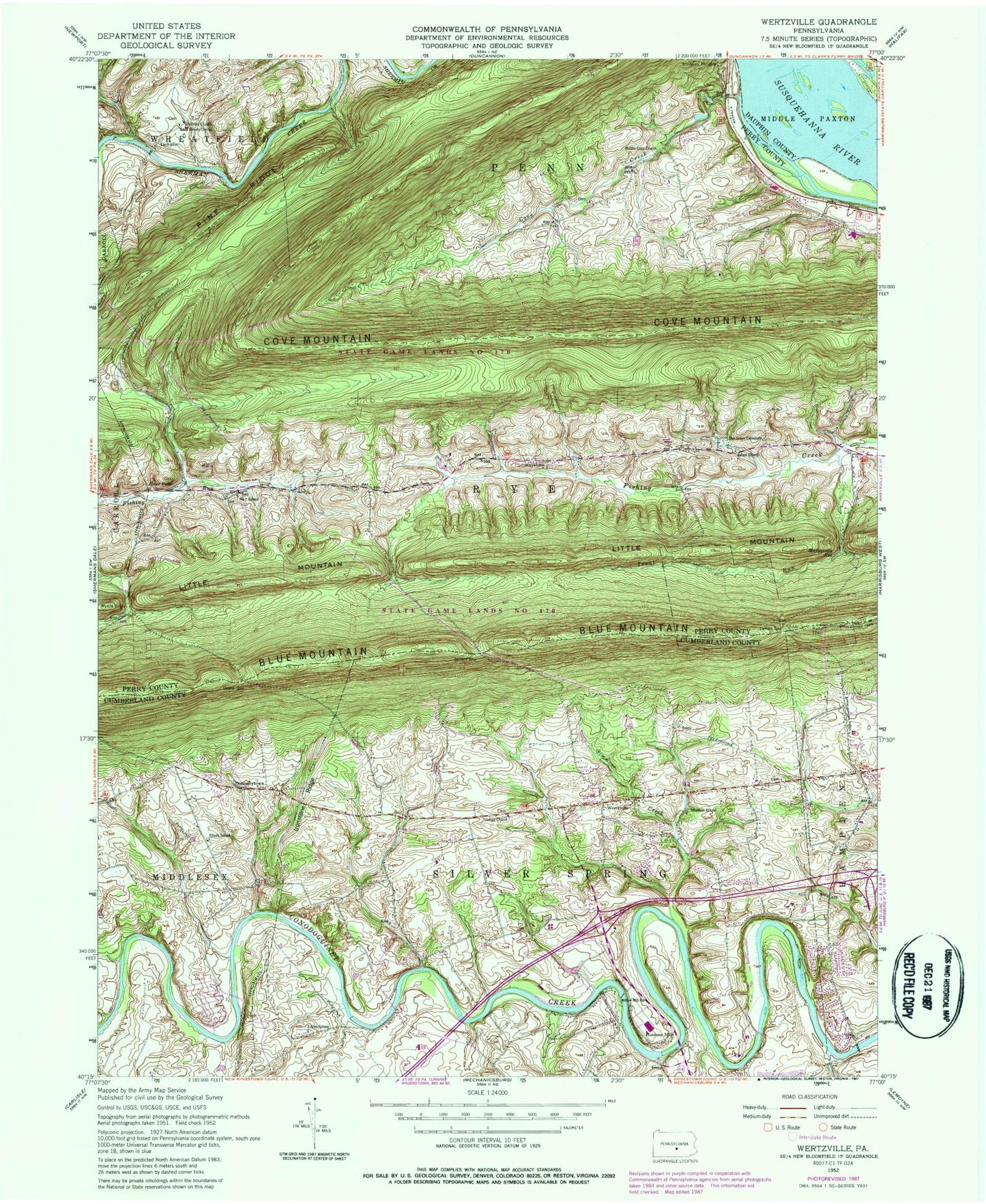
Classic USGS Wertzville Pennsylvania 7.5'x7.5' Topo Map
Couldn't load pickup availability
Historical USGS topographic quad map of Wertzville in the state of Pennsylvania. Typical map scale is 1:24,000, but may vary for certain years, if available. Print size: 24" x 27"
This quadrangle is in the following counties: Cumberland, Dauphin, Perry.
The map contains contour lines, roads, rivers, towns, and lakes. Printed on high-quality waterproof paper with UV fade-resistant inks, and shipped rolled.
Contains the following named places: North Country National Scenic Trail, Cove Creek, Cove Mountain, Cox Island, Deans Gap, Dellville, Dellville Church, Donnellytown, Fairview Hall School, Grier Point, Hogestown Run, Hustons Mill, Ironstone Ridge, Keystone, Kinkora Heights, Lambs Gap, Marysville Reservoir, Middle Cove Church, Millers Gap, Myers Gap, Oak Grove School Cemetery, Pleasant Grove School, Saint Davids Church, Saint Pauls Church, Salam Church, Simmons Creek, State Game Lands Number 170, Trindle Spring Run, Trout Run, Wertzville, Willow Mill Park, Youngs Church, Little Mountain, John P Hall Dam, Upper Dam, Cove Forge (historical), Rattling Run, Saint Pauls Church (historical), Number 2 School (historical), Fio Forge School (historical), Silver Spring Golf Course, Green Ridge Elementary School, Eckles School, Elliots School, Number 1 School, Simmons School, Township of Silver Spring, Township of Penn, Township of Rye, Deitch Airport, Silver Spring Township Police Department, Haunstein Airport, Kauffman Farm Graveyard, Youngs United Methodist Cemetery, Saint Pauls Evangelical Lutheran Cemetery


