MyTopo
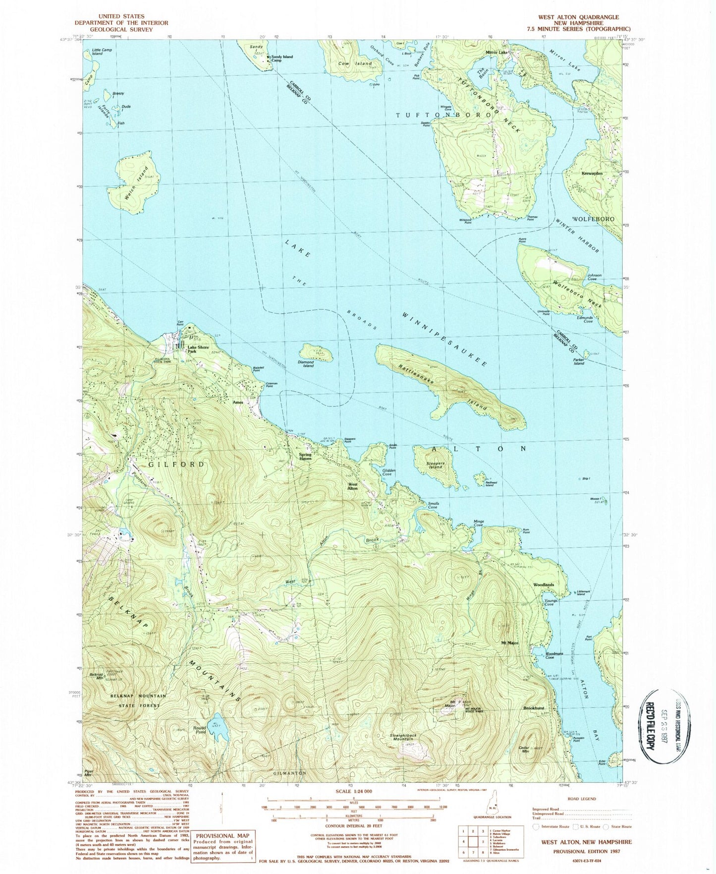
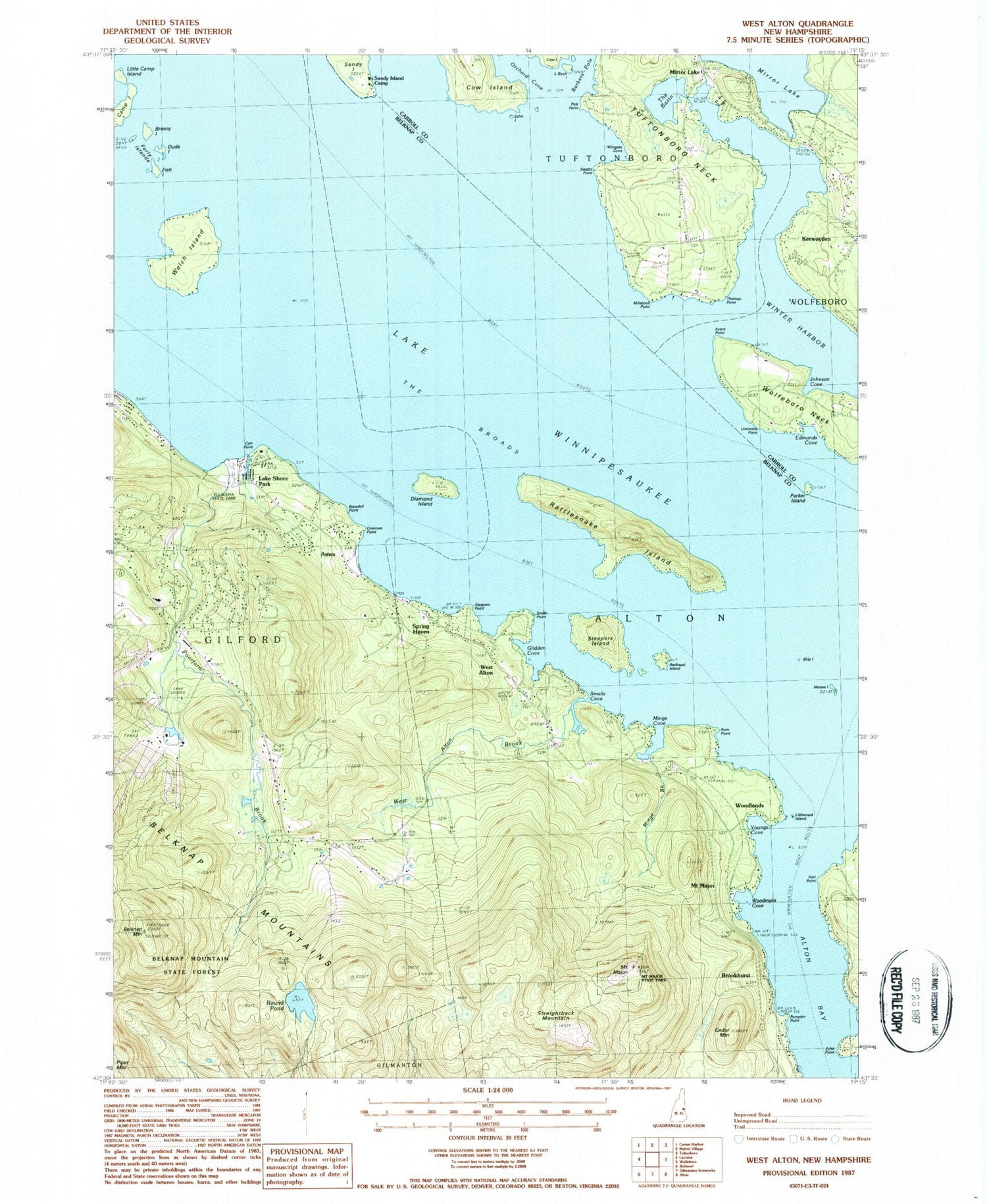
Classic USGS West Alton New Hampshire 7.5'x7.5' Topo Map
Couldn't load pickup availability
Historical USGS topographic quad map of West Alton in the state of New Hampshire. Typical map scale is 1:24,000, but may vary for certain years, if available. Print size: 24" x 27"
This quadrangle is in the following counties: Belknap, Carroll.
The map contains contour lines, roads, rivers, towns, and lakes. Printed on high-quality waterproof paper with UV fade-resistant inks, and shipped rolled.
Contains the following named places: Alton Bay, Ames, Ayers Point, Belknap Mountain, Belknap Mountains, Belknap Mountain State Forest, Breezy Island, Brookhurst, Camp Island, Carr Point, Cedar Mountain, Coleman Point, Diamond Island, Duds Island, Echo Island, Echo Point, Edmunds Cove, Fish Island, Forty Islands, Forty Point, Glidden Cove, Johnson Cove, Keewayden, Lake Shore Park, Little Birch Island, Little Camp Island, Littlemark Island, Mount Major, Millstone Point, Minge Brook, Minge Cove, Mirror Lake, Mirror Lake, Moose Island, Mount Major, Mount Washington Boat Route, Mount Washington Boat Route, Orchard Cove, Parker Island, Pick Point, Poorfarm Brook, Pumpkin Point, Rattlesnake Island, Redhead Island, Round Pond, Rum Point, Sandy Island, Sandy Island Camp, Ship Island, Sleepers Island, Sleepers Point, Smalls Cove, Smith Point, Spring Haven, Straightback Mountain, Swetts Cemetery, Swetts Point, The Basin, The Broads, Thomas Point, Tuftonboro Neck, Umbrella Point, Welch Island, West Alton, West Alton Brook, Wingate Cove, Lake Winnipesaukee, Winter Harbor, Wolfeboro Neck, Woodlands, Woodmans Cove, Youngs Cove, Lakes Region Airport (historical), Camp Islands, Alpine Ridge Ski Area, Cut Island, Ellacoya State Park, Ellacoya State Recreational Vehicle Park, Gunstock Acres, Gunstock Recreation Area, Mount Major State Park, Samoset, West Alton Cemetery, Yale Estates, Camp Ossipee, Libby Museum, Libby Park, Mirror Lake Post Office, West Alton Fire and Rescue Department, Tuftonboro Fire and Rescue, Stonybrook Farm, Gunstock Safety Service, Roberts Pond


