MyTopo
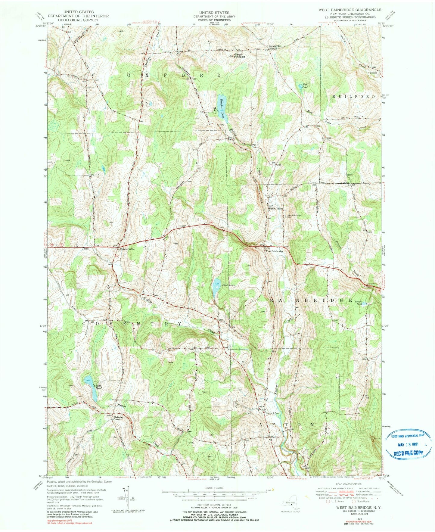
Classic USGS West Bainbridge New York 7.5'x7.5' Topo Map
Couldn't load pickup availability
Historical USGS topographic quad map of West Bainbridge in the state of New York. Map scale may vary for some years, but is generally around 1:24,000. Print size is approximately 24" x 27"
This quadrangle is in the following counties: Chenango.
The map contains contour lines, roads, rivers, towns, and lakes. Printed on high-quality waterproof paper with UV fade-resistant inks, and shipped rolled.
Contains the following named places: Blackesley Corner, Brackett Lake, Coventryville, Coventryville Cemetery, Echo Lake, First Congregational Church, Gibson Pinnacle, Kelsey Brook Trailer Court, Miller Field, Mud Pond, North Afton, North Afton Cemetery, North Afton Methodist Church, North Fork Airport, Puckerville Corners, Roberts Pond, Smith Pond, The New Echo Lake Resort, Union Valley, West Bainbridge, West Bainbridge Baptist Church, West Bainbridge Cemetery, Wilkins Brook, Yaleville Cemetery