MyTopo
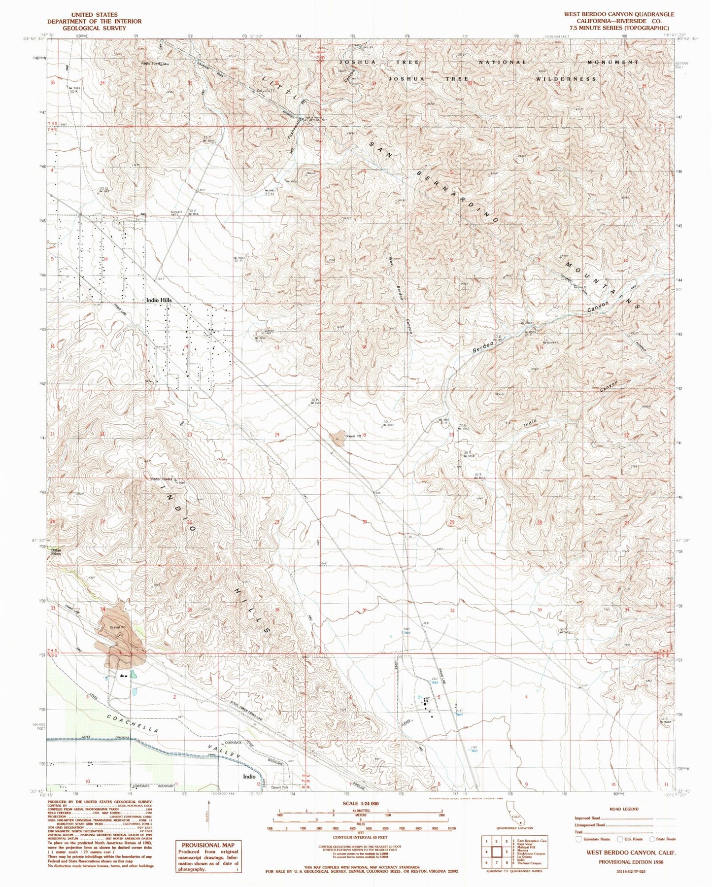
Classic USGS West Berdoo Canyon California 7.5'x7.5' Topo Map
Couldn't load pickup availability
Historical USGS topographic quad map of West Berdoo Canyon in the state of California. Map scale may vary for some years, but is generally around 1:24,000. Print size is approximately 24" x 27"
This quadrangle is in the following counties: Riverside.
The map contains contour lines, roads, rivers, towns, and lakes. Printed on high-quality waterproof paper with UV fade-resistant inks, and shipped rolled.
Contains the following named places: Berdoo Canyon, Dillon Road Pit, Indio Canyon, Indio Hills, Indio Hills Census Designated Place, KBZT-FM (La Quinta), KCHV-FM (Coachella), KCMJ-FM (Indio), KPLM-FM (Palm Springs), KPSC-FM (Palm Springs), KRCQ-FM (Indio), Pushawalla Canyon, West Berdoo Canyon, ZIP Code: 92203