MyTopo
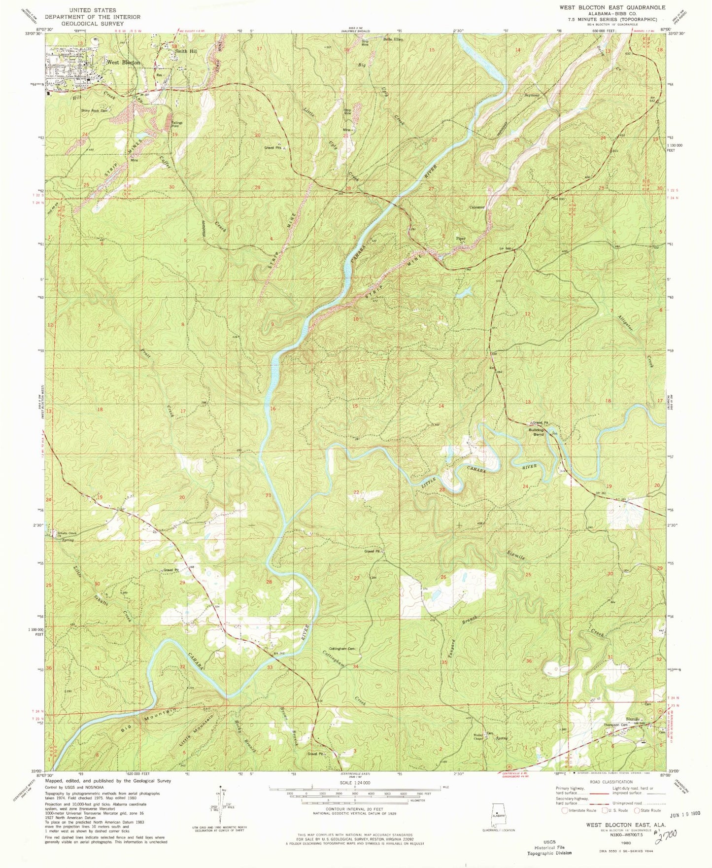
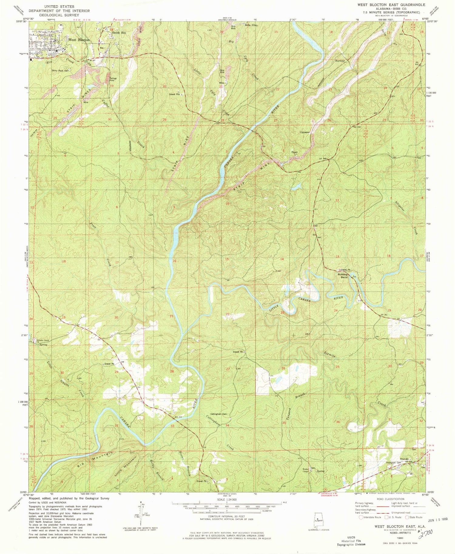
Classic USGS West Blocton East Alabama 7.5'x7.5' Topo Map
Couldn't load pickup availability
Historical USGS topographic quad map of West Blocton East in the state of Alabama. Map scale may vary for some years, but is generally around 1:24,000. Print size is approximately 24" x 27"
This quadrangle is in the following counties: Bibb.
The map contains contour lines, roads, rivers, towns, and lakes. Printed on high-quality waterproof paper with UV fade-resistant inks, and shipped rolled.
Contains the following named places: Alligator Creek, Ardela, Belle Ellen, Big Mountain, Big Ugly Creek, Blake Ford, Blocton, Brown Branch, Bucktown, Bulldog Bend, Cadle, Caffee Creek, Cahaba River National Wildlife Refuge, Cahaba Wildlife Management Area, Coleanor, Confederate Mine, Corinne, Cottingham Cemetery, Cottingham Church, Cottingham Creek, Desmans Camp, Elder School, Flat Top, Gardner Mine, Hargrove, Hargrove Shoals, Hawkinsville, Hill Creek, Island Ford, Italian Catholic Cemetery, Italian Town, Kimberly Clark Paper Company Lake, Kimberly Clark Paper Company Lake Dam, Light Ford, Little Cahaba River, Little Mountain, Little Schultz Creek, Little Ugly Creek, Nash Town, New Hargrove, Pilgrim Rest, Pine Island Creek, Pine Island Ford, Piper, Pratt Creek, Pratt Ferry, Pratt Ferry Bridge, Richs Ford, River Bend, Rock Institute, Rocky Branch, Schultz Creek Cemetery, Schultz Creek Church Spring, Schultz Creek Missionary Baptist Church, Serene Lake Number 7, Serene Lake Number 7 Dam, Seymour, Shiney Rock Cemetery, Six Mile Presbyterian Cemetery, Sixmile, Sixmile Creek, Sixmile Missionary Baptist Church, Sixmile School, Smith and Thomas Mill, Smith Hill, Smith Hill Baptist Church, Stacks Hill, Tanyard Branch, Thompson Cemetery, Tico, Wesley Chapel Cemetery, Wesley Chapel United Methodist Church, West Blocton, West Blocton Fire Department, West Blocton First Baptist Church, West Blocton Police Department, West Blocton Post Office


