MyTopo
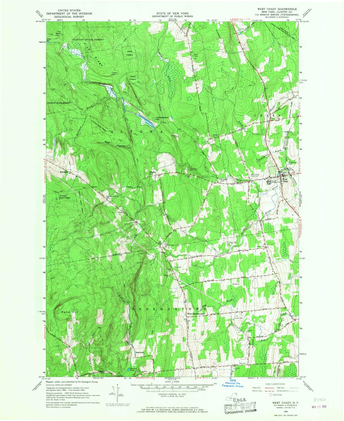
Classic USGS West Chazy New York 7.5'x7.5' Topo Map
Couldn't load pickup availability
Historical USGS topographic quad map of West Chazy in the state of New York. Map scale may vary for some years, but is generally around 1:24,000. Print size is approximately 24" x 27"
This quadrangle is in the following counties: Clinton.
The map contains contour lines, roads, rivers, towns, and lakes. Printed on high-quality waterproof paper with UV fade-resistant inks, and shipped rolled.
Contains the following named places: Bear Hollow, Beartown, Beartown School, Cobblestone Hill, Cold Brook, Dead Sea, Dodge Library, Douglas School, Douglass Cemetery, Duncan Pond, Farrell Brook, Negro Hill, Pine Ridge, Rand Hill, Robinson, Robinson Brook, Robinson District Cemetery, Saint Josephs Cemetery, School Number 2, School Number 4, School Number 5, School Number 8, Stony Acres Mobile Home Park, The Basin, Twin Ells Mobile Home Park, Vasile Field, WCFE-FM (Plattsburgh), West Beekmantown, West Chazy, West Chazy Census Designated Place, West Chazy Post Office, West Chazy Rural Cemetery, WGFB-FM (Plattsburgh), Witherill School, ZIP Codes: 12910, 12992


