
MyTopo
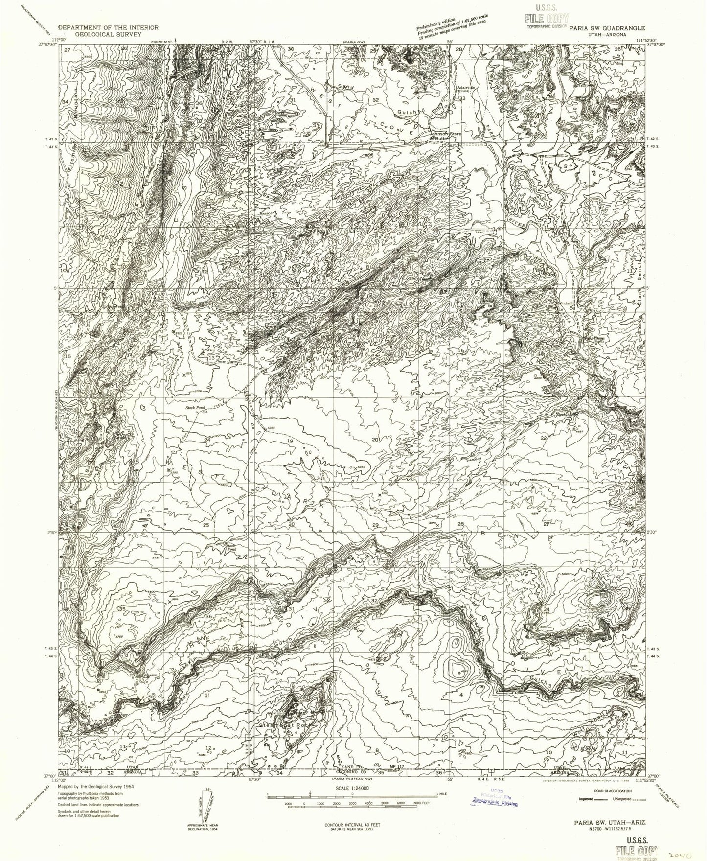
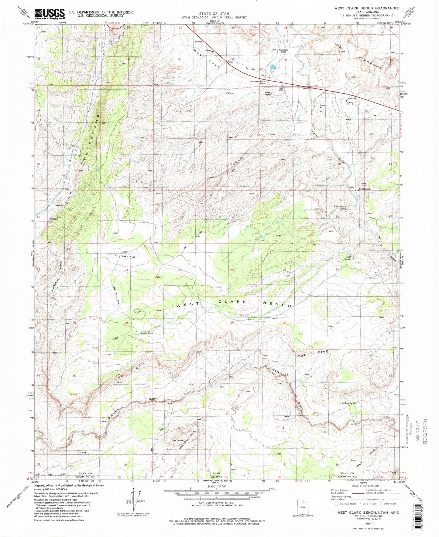
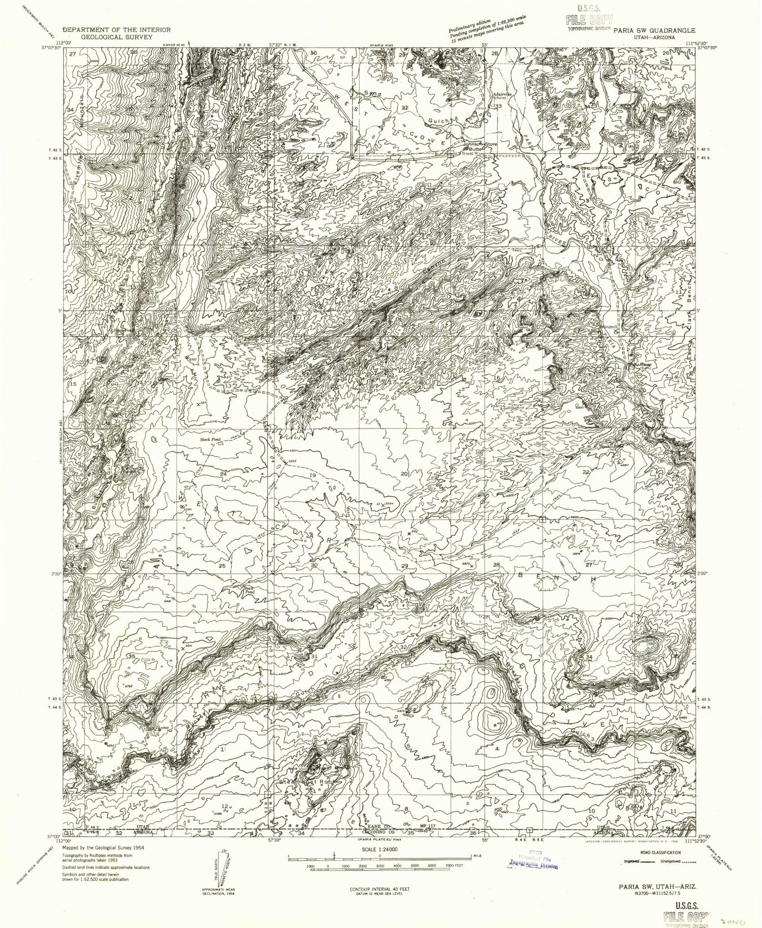
USGS Classic West Clark Bench Utah 7.5'x7.5' Topo Map
Couldn't load pickup availability
Historical USGS topographic quad map of West Clark Bench in the state of Utah. Scale: 1:24000. Print size: 24" x 27"
This quadrangle is in the following counties: Coconino, Kane.
The map contains contour lines, roads, rivers, towns, lakes, and grids including latitude / longitude and UTM / MGRS. Printed on high-quality waterproof paper with UV fade-resistant inks.
Contains the following named places: Fivemile Mountain, Adairville, East Cove, Fivemile Valley, Johnson Store Butte, Long Canyon, Pigeon Spring, Sand Gulch, Steamboat Rock, The Dive, West Clark Bench, West Cove, White House, Calf Spring, Dry Lake Flat, Paria Ranger Station, Rubin Tank, White House Spring, Whitehouse Trailhead, Cobra Arch, Adairville Cemetery