MyTopo
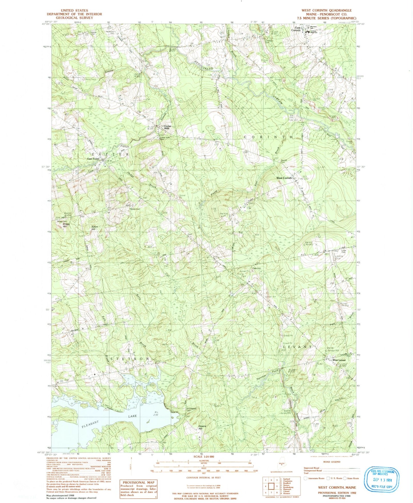
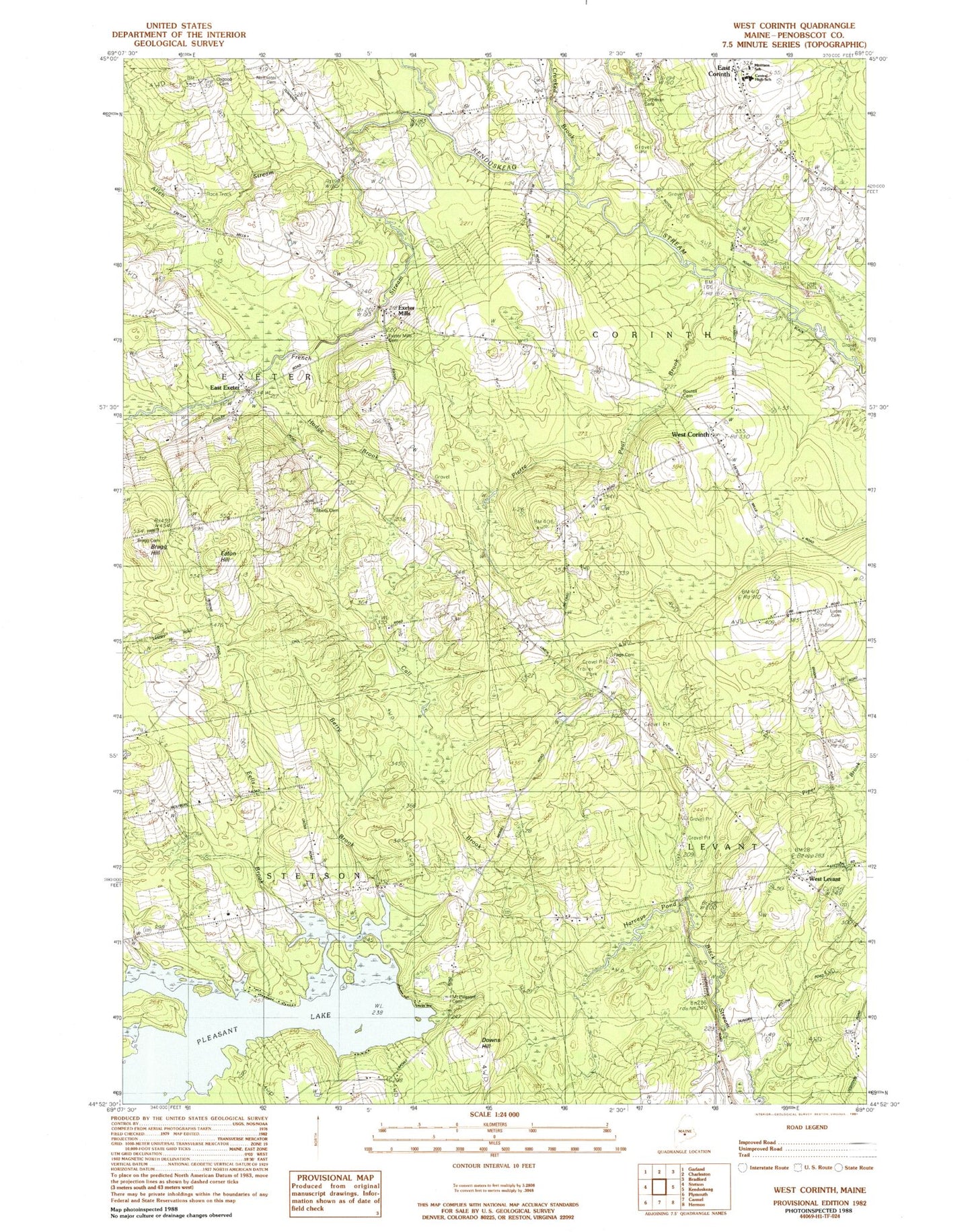
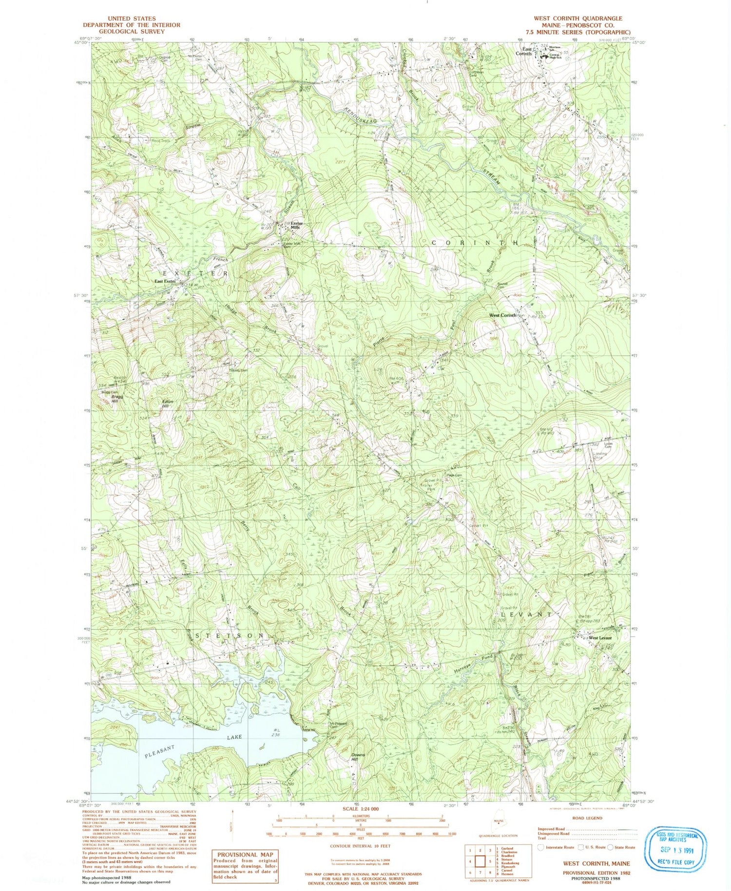
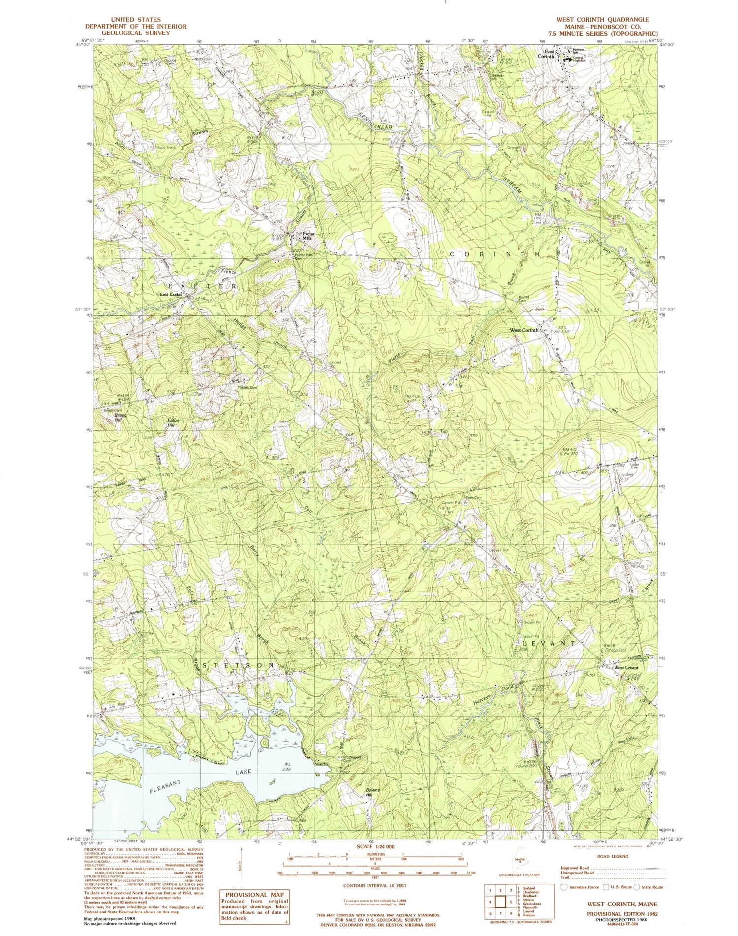
Classic USGS West Corinth Maine 7.5'x7.5' Topo Map
Couldn't load pickup availability
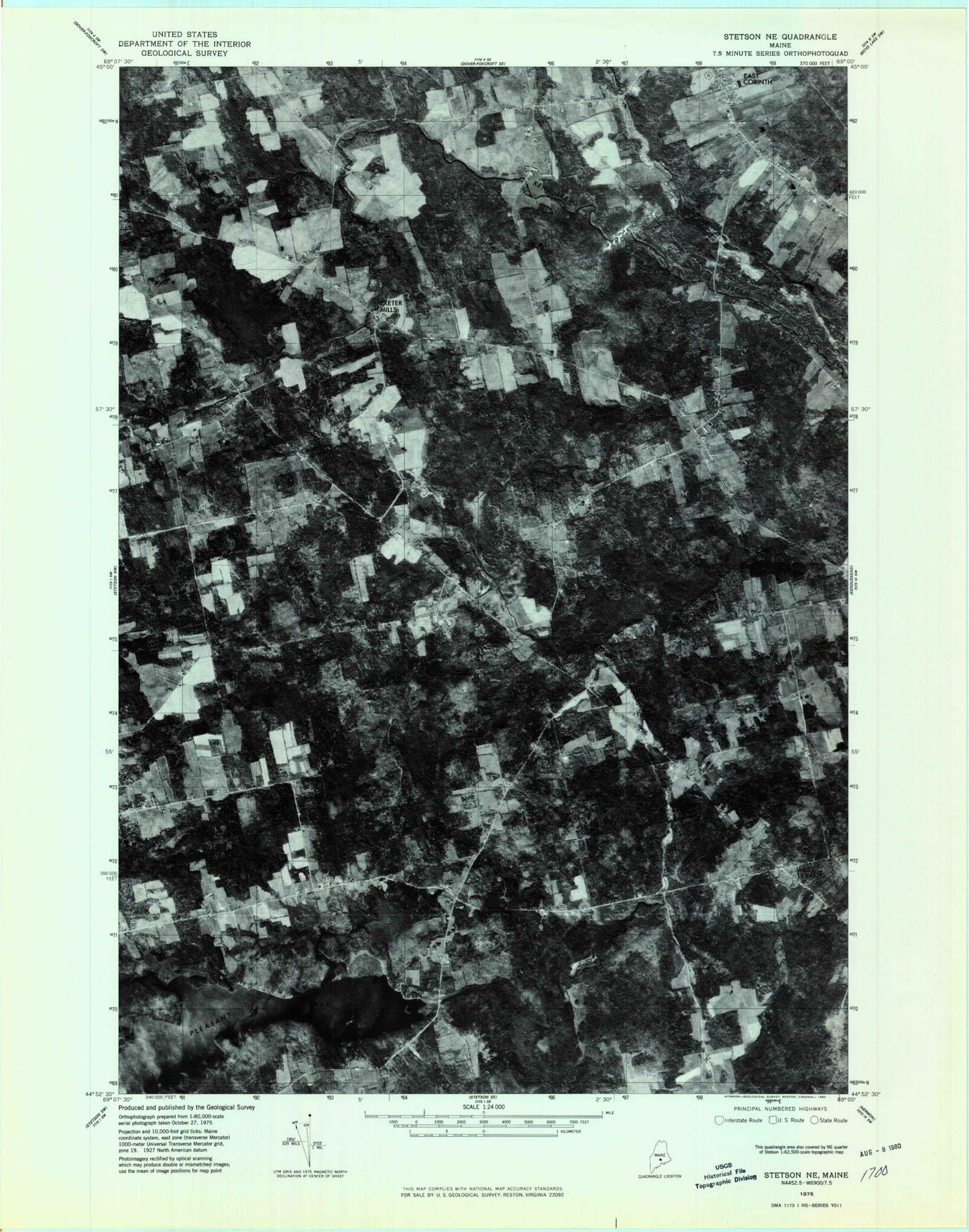
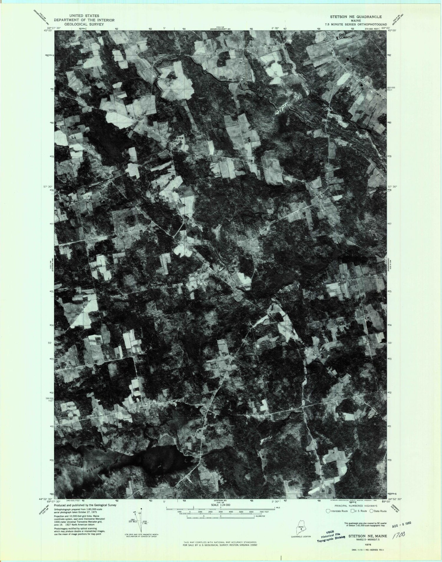
Historical USGS topographic quad map of West Corinth in the state of Maine. Map scale may vary for some years, but is generally around 1:24,000. Print size is approximately 24" x 27"
This quadrangle is in the following counties: Penobscot.
The map contains contour lines, roads, rivers, towns, and lakes. Printed on high-quality waterproof paper with UV fade-resistant inks, and shipped rolled.
Contains the following named places: Allen Stream, Boutell Cemetery, Bragg Cemetery, Central High School, Central Middle School, Corinthian Cemetery, Crooked Brook, East Exeter, Eaton Hill, Exeter Mills, Exeter Mills Cemetery, French Stream, Harveys Pond, Lucas Cemetery, McGregor Mill, Morison Memorial School, Mount Pleasant Cemetery, North American Family Institute Stetson Ranch School, Osgood Cemetery, Page Cemetery, Pierre Paul Brook, Pleasant Lake, Stetson Elementary School, Terra B & B Airport, Tibbets Cemetery, Town of Corinth, Town of Stetson, Vickery Cemetery, West Corinth, West Levant, West Levant Church of God, ZIP Code: 04427
