MyTopo
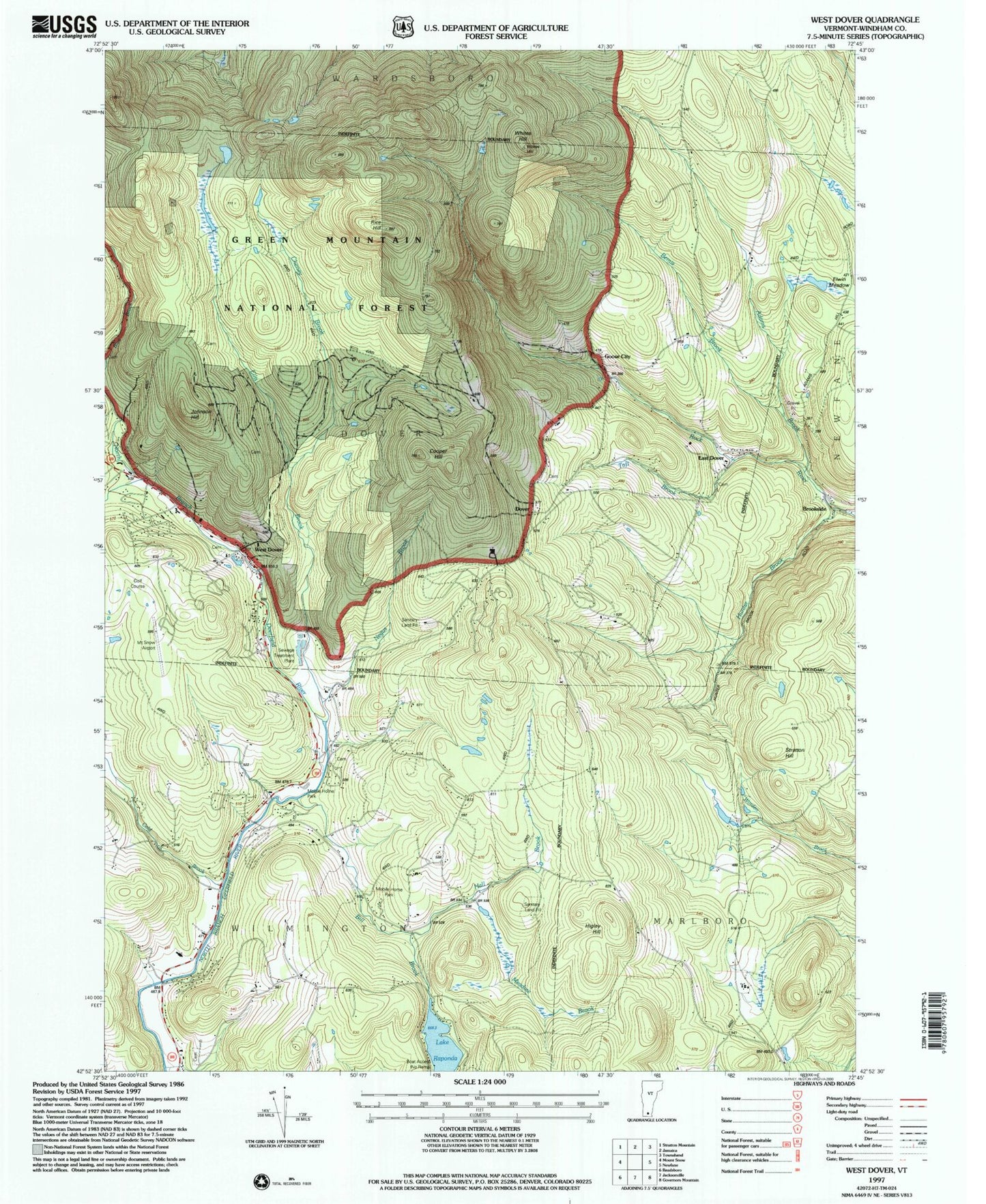
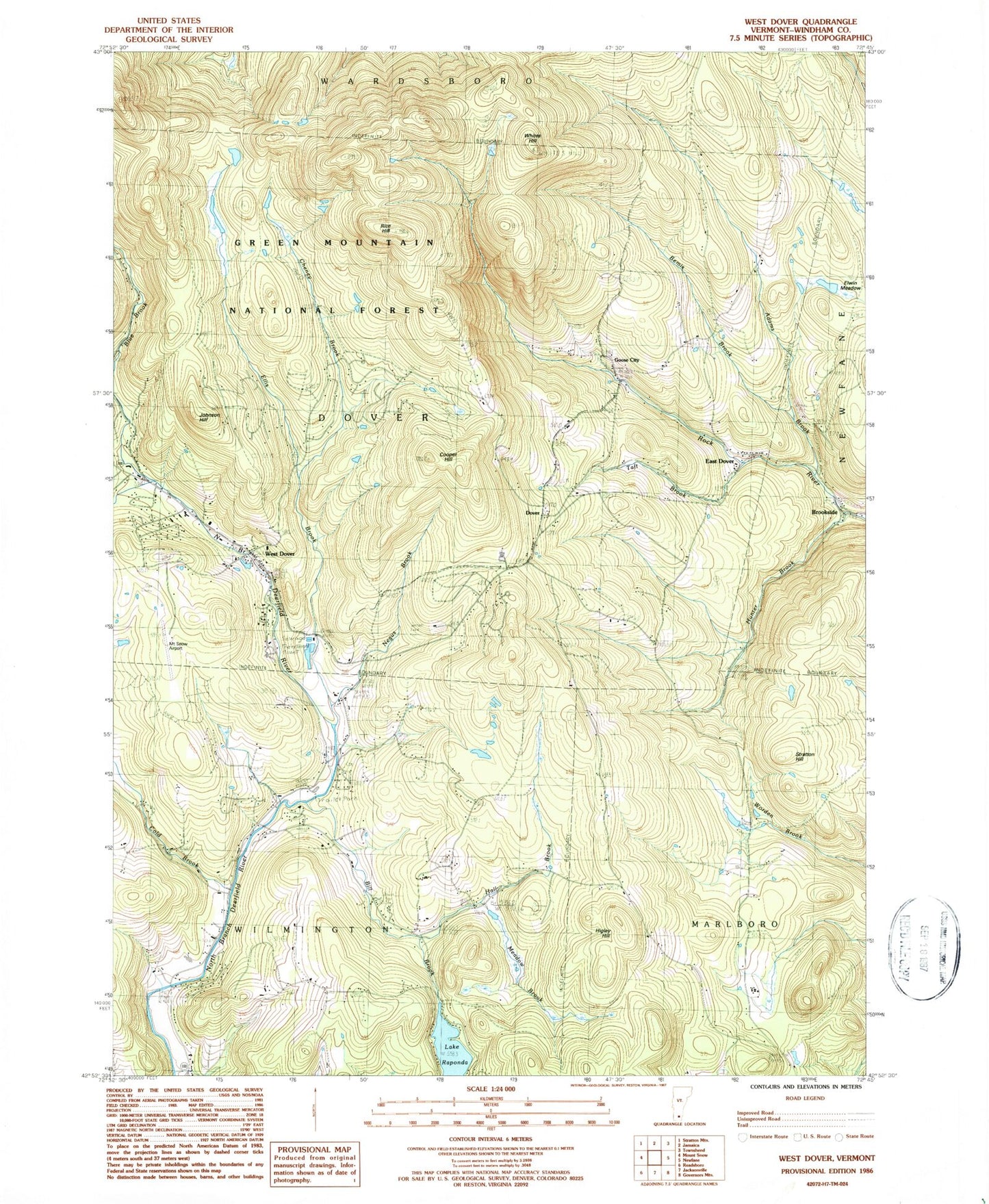
Classic USGS West Dover Vermont 7.5'x7.5' Topo Map
Couldn't load pickup availability
Historical USGS topographic quad map of West Dover in the state of Vermont. Typical map scale is 1:24,000, but may vary for certain years, if available. Print size: 24" x 27"
This quadrangle is in the following counties: Windham.
The map contains contour lines, roads, rivers, towns, and lakes. Printed on high-quality waterproof paper with UV fade-resistant inks, and shipped rolled.
Contains the following named places: Adams Brook, Baldwin Cemetery, Bemis Brook, Bill Brook, Blue Brook, Cheney Brook, Cold Brook, Cooper Hill, Cutting Cemetery, Dover, Dover Center Cemetery, East Dover, Ellis Brook, Elwin Meadow, Goose City, Hall Brook, Hathaway Cemetery, Higley Hill, Hunter Brook, Johnson Hill, Meadow Brook, Negus Brook, Lake Raponda, Rice Hill, Riverview Cemetery, Stratton Hill, Taft Brook, West Dover, Whites Hill, Brookside, Deerfield Valley Regional Airport, Town of Dover, Town of Wilmington, Deerfield Valley Elementary School, Dover Common, Dover Elementary School, Dover Free Library, Dover Post Office, Dover Town Hall, Dover Town Offices, East Dover Cemetery, East Dover Baptist Church, East Dover Post Office, Mount Snow Golf Course, New Riverview Cemetery, Powers Cemetery, Rice - Snow Cemetery, Sitzmark Cross Country Ski Center, Sitzmark Golf Course, Timson Moore Cemetery, West Dover Congregational Church, West Dover Historic District, West Dover Post Office, West Dover Village Cemetery, Dover Fire Department, East Dover Volunteer Fire Department, West Dover Police Department