
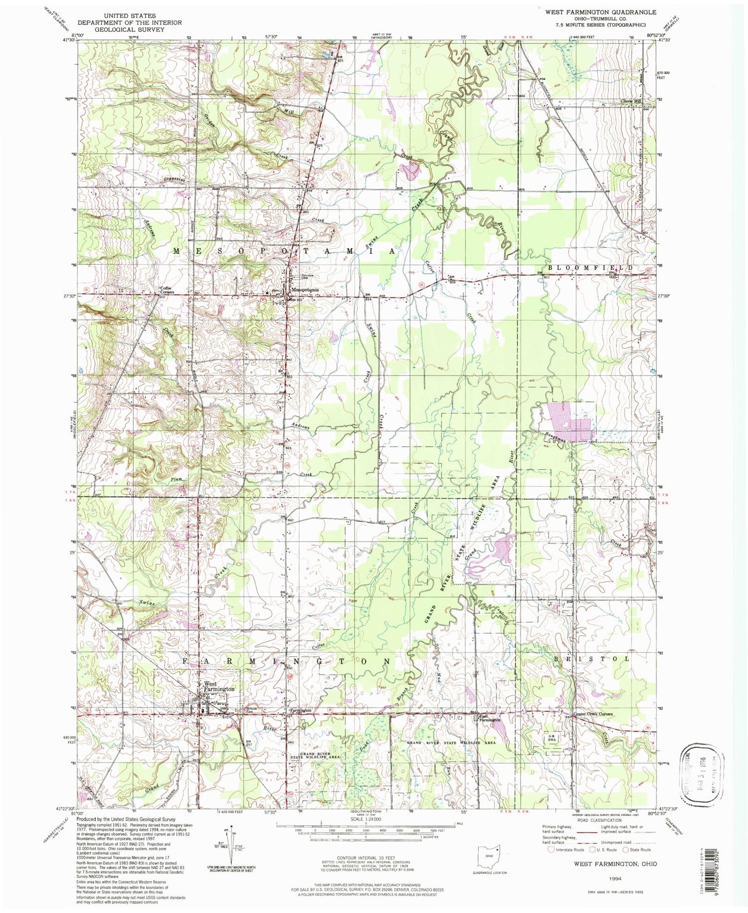
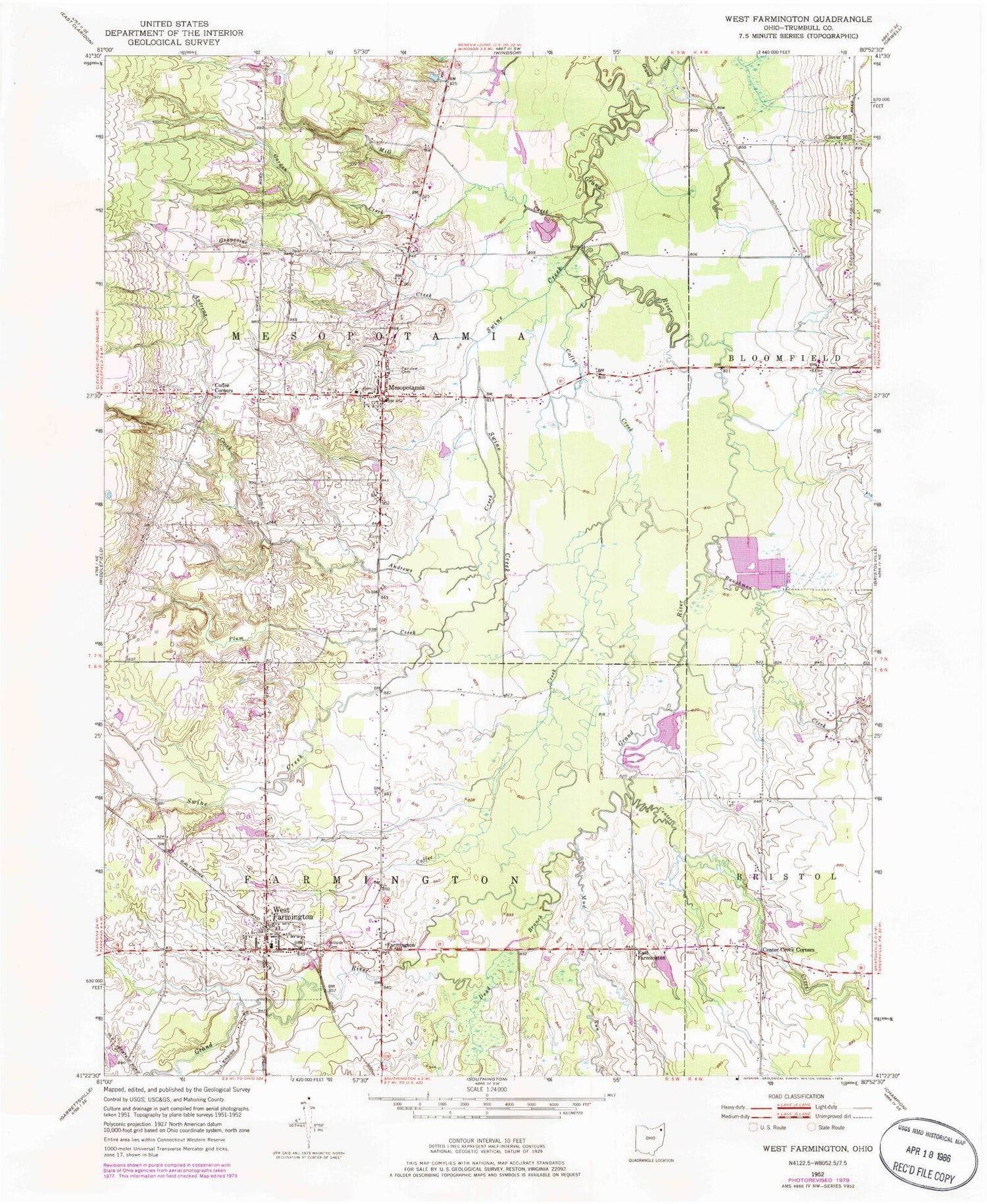
MyTopo
Classic USGS West Farmington Ohio 7.5'x7.5' Topo Map
Couldn't load pickup availability
Historical USGS topographic quad map of West Farmington in the state of Ohio. Typical map scale is 1:24,000, but may vary for certain years, if available. Print size: 24" x 27"
This quadrangle is in the following counties: Trumbull.
The map contains contour lines, roads, rivers, towns, and lakes. Printed on high-quality waterproof paper with UV fade-resistant inks, and shipped rolled.
Contains the following named places: Andrews Creek, Coffee Corners, Garden Creek, Grapevine Creek, Hillside Cemetery, Mesopotamia, Mill Creek, Swine Creek, Bristol-Farmington Elementary School, Mesopotamia Elementary School, Grand River State Wildlife Area, Center Creek Corners, West Farmington, Bear Creek, West Farmington United Methodist Church, Mesopotamia United Methodist Church, Clover Hill, East Farmington, Farmington, Baughman Creek, Center Creek, Coffee Creek, Dead Branch, Mud Run, Plum Creek, Mesopotamia Village Historic District, Coppedge Pond Dam, Coppedge Pond, Bristol Airstrip, Morrison Field Airport (historical), Tounshendeaux Airport (historical), Township of Farmington, Township of Mesopotamia, Clark Cemetery, East Cemetery, Fairview Cemetery, West Farmington Post Office, Farmington Post Office (historical), Farmdale Post Office, Mesopotamia Post Office, Village of West Farmington, Mesopotamia Volunteer Fire Department, Farmington Township Volunteer Fire Department Station 22, Double K Farms, Shady Maple Farm, Parker Farms, Viney Hill Farms, Center Creek Farms


