MyTopo
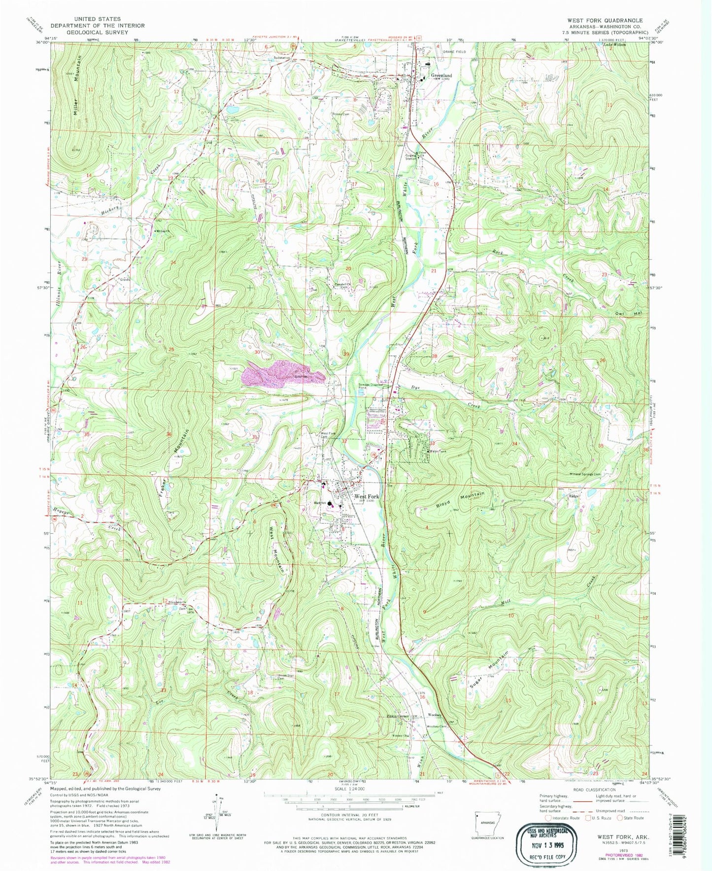
Classic USGS West Fork Arkansas 7.5'x7.5' Topo Map
Couldn't load pickup availability
Historical USGS topographic quad map of West Fork in the state of Arkansas. Map scale may vary for some years, but is generally around 1:24,000. Print size is approximately 24" x 27"
This quadrangle is in the following counties: Washington.
The map contains contour lines, roads, rivers, towns, and lakes. Printed on high-quality waterproof paper with UV fade-resistant inks, and shipped rolled.
Contains the following named places: Arkansas School for Information and Technology, Baptist Ford Cemetery, Bloyd Mountain, Boone Cemetery, Campbell Church Cemetery, City of Greenland, City of West Fork, Dye Creek, Everett Mountain, Fairview School, First Baptist Church of Greenland, Flat Rock School, Fraker Mountain, Friendship Church, Greenland, Greenland Elementary School, Greenland High School, Greenland Middle School, Greenland Police Department, Hogeye Volunteer Fire Department Station 2, Lake Wilson, Lake Wilson Park, Mill Creek, Mineral Springs Cemetery, Mount Gap Church, Old Male Coal Bank, Owl Hollow, Pitkin Corner, Pitkin School, Ridge, Rock Creek, Round Mountain, Steele Cemetery, Sugar Mountain, Township of Greenland, Township of West Fork, Union Star Cemetery, Washburn Mountain, Washington County, West Fork, West Fork Cemetery, West Fork Elementary School, West Fork High School, West Fork Police Department, West Fork Post Office, West Fork Volunteer Fire Department Station 1, West Fork Volunteer Fire Department Station 3, West Mountain, White Oak Mountain, Winn Creek, Woolsey, Woolsey Cemetery, Woolsey Church, Woolsey Post Office, ZIP Code: 72774


